Mahalibeh Castle
A hilltop castle east of Latakia, at 750 metres. Byzantine, then Frankish, then Ayyubid and Mamluk; it was never resettled after the earthquake of 1408.
- Opening hours
- Open ground, sunrise to sunset
- Entry
- Variable — check on arrival
- Duration
- 90 minutes
- Best time
- A spring or autumn morning; the height brings fog and ice in winter
- Period
- Byzantine — Mamluk
- Address
- Near al-Mahalibah village, Qardaha district, Latakia governorate
In the mountains east of Latakia, in the Qardaha district, on a summit at 750 metres, some 40 km inland from the coast. Older sources also call it Hisn Balatunus. The castle was founded in the 11th century; the Byzantines took it in 1031 and finished the building.
Getting there
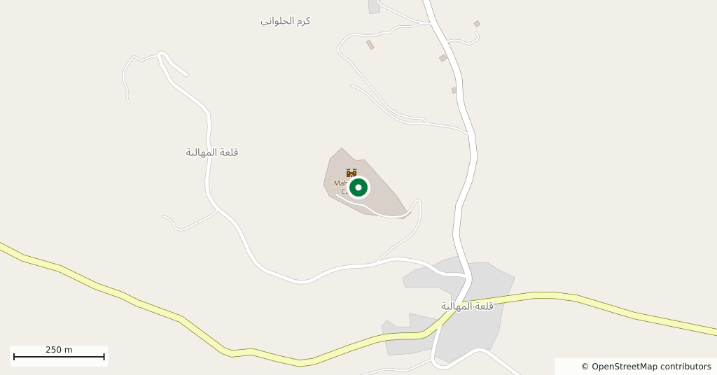
Two paved roads climb to the castle: from Qardaha on the west and from Joubat Berghal on the east. You come by car from Latakia, as there is no public transport. It is a mountain road and the last part is narrow; it ices over in winter.
How long it takes
An hour and a half. The castle spreads over a wide area and parts of the ground are rough with stone, so there is no point rushing it.
What is there
The outer wall encloses a large enclosure, and inside it are cisterns, underground rooms, vaults and the stumps of towers. This is a place used to changing hands: from the Byzantines to local lords, then to the Franks, and in 1188 it surrendered to Saladin. Under the Mamluks, Baybars repaired it in 1269 and Sultan Qalawun took it in 1285.
What most people miss
Restoration is under way, and as the work goes on it keeps turning up inscriptions, among them a stone text recording the building of a mosque inside the castle. Look at the wall faces as you walk through the ruin, because the inscriptions carry no interpretive signs. The castle was wrecked by the great earthquake at the end of 1408 and never resettled; the emptiness you see dates from then.
Tips
- Qardaha from the west, Joubat Berghal from the east; both paved but narrow
- The restoration area may not be marked, so stay out of closed sections
- The ground is stony and overgrown, and needs solid shoes
- Wind on the summit is strong; take an extra layer even in summer
Transparency
- How this was chosen
- Written by hand; opening hours, entry fee and coordinates are kept as data. A field that is not known for certain is marked as variable rather than guessed.
- Facts checked
- August 2026
- Last updated
- September 15, 2026