Travelling in Syria in bad weather: floods, storms and snow
In winter 2026 floods cut the old Damascus–Homs road and roads near Qusayr, and the Semalka bridge collapsed. Which roads close when, where to check, what to do.
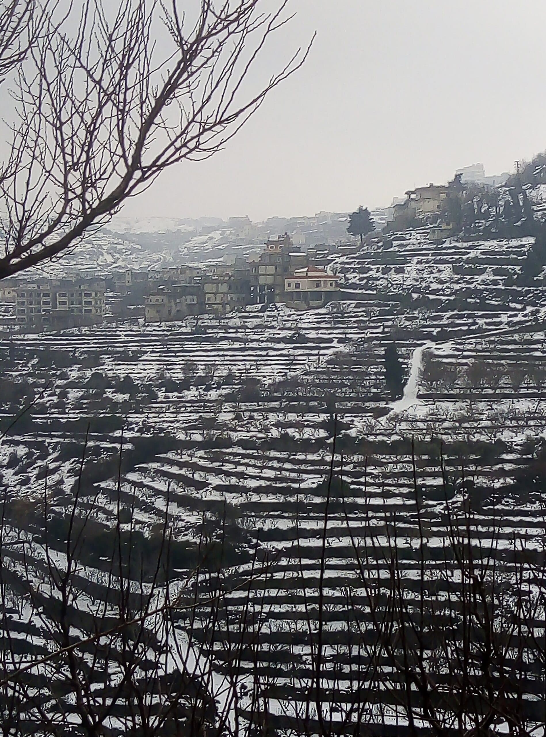
Bad weather in Syria rarely stops travel altogether, but it closes particular roads for hours and sometimes for weeks. The winter and spring of 2025-2026 left dated examples. January brought snow to the north and February flash floods to the north-west. March brought a storm that shut markets in Damascus and a bridge collapse in the north-east, and April a flood that cut the old Damascus–Homs road. This page sets out what closed in which month, where warnings are published, and what to do if a flood or snow catches you on the road. Choosing a season, with temperatures, is covered on the page about when to visit Syria.
Which roads closed in which month?
- January, snow and ice: on 1 January 2026 more than 15 centimetres of snow fell in 24 hours in Manbij, Afrin, Hasakah and Qamishli; it settled on mountains above 1300 metres and in the far north. At the peak of the low-pressure system on 12 January, forecasters expected winds of up to 90 kilometres an hour, snow settling above 1200 metres and a snow line dropping to 1000 metres the following night.
- February, flash floods in the north-west: on 7 February 2026 heavy rain turned into floods in the Idlib and Latakia countryside. More than 300 families were affected in the camps at Khirbet al-Jouz, and in the Turkmen Mountain area of rural Latakia a flood swept two children down a valley. That evening a Red Crescent team on its way to help crashed on the same mountain road, and a volunteer was killed.
- March, storm and floods: on the night into 15 March 2026 unprecedented rain in Damascus closed some streets and markets, water entered shops and homes, and civil defence towed away stranded cars. Rain that began on 14 March also flooded the north and north-east: according to the UN Office for the Coordination of Humanitarian Affairs, flash floods in Deir ez-Zor damaged roads and bridges and cut access to the Abu Kamal crossing. On 16 March the Semalka floating bridge linking Hasakah with Iraqi Kurdistan collapsed.
- April, floods and a river in spate: on 27 April 2026 the old Damascus–Homs road, the lorry route, was cut completely by floodwater and landslides at the Seniyye descent near Qutayfah in the Qalamoun; the motorway stayed open. The same day the Orontes rose near Qusayr, closing the Sabla road completely and the Ghayda road in part, with the Rabla road given as the alternative. East of Idlib, the Abu al-Duhur–Humaymat al-Dayer road also closed because of flooding.
Where are warnings published?
Two official sources work together. The meteorological service issues flood and storm warnings region by region: on 27 April 2026 it warned of flooding in low-lying desert areas of Damascus, Homs and Suwayda before the rain arrived. Road closures are announced by the provincial directorates of the Ministry of Emergencies and Disaster Management. They declared the Seniyye and Qusayr closures and named the alternative route, and that night they kept a nationwide list of closed and open roads updated until 23:00.
Warnings spread the same day on official pages and in the local press, but in Arabic. If you do not read Arabic, the most practical step is to ask the owner of your accommodation or your driver that morning whether the route is open. For news to reach your phone you need a local line and data; see the page about SIM cards and internet in Syria.
What should you do if a flood catches you on the road?
The official advice is short and the same in every warning. In April 2026 the emergency directorates for rural Damascus and Homs told drivers two things: do not cross any channel where water is flowing, and do not drive into farmland. Where water runs across a road you cannot see how deep it is. Turning off the road into fields is also dangerous because of explosive remnants of war; the rules are on the page about safety in damaged areas.
If you have a choice, use the motorway rather than the old road: in the April flood the old Damascus–Homs road was cut while the motorway stayed open. Closures are often short; the old road cut that day showed as open again on the 23:00 list. Delaying departure by a few hours while rain continues is therefore often enough. The page about how far you can travel in a day helps keep daily distances short.
What about snow and ice?
Snow in Syria is a possibility in the mountains and the far north, not across the country. In January 2026 snow settled above 1300 metres and in the Jazira; forecasters warned of night frost and ice in the mountains and of morning fog in the Qalamoun, the central region and the Ghouta. Ice is worst at night and early in the morning. On a road with a mountain pass, such as between Latakia and Homs, setting off closer to midday and finishing the trip before dark is safer.
Border crossings and bridges
Bad weather can close a crossing too. In March 2026 floods in Deir ez-Zor cut access to the Abu Kamal crossing. The Semalka floating bridge collapsed on 16 March, reopened on 14 May 2026 after about two months of repairs, and closed again a few hours later when the Tigris flooded it. If you are entering or leaving via Iraq, ask before you set off whether the crossing is open that day; the crossings are covered on the page about Iraq to Syria border crossings.
Storms on the coast
During the January 2026 low-pressure system, forecasters warned in advance of waves above three and a half metres and disruption to sea transport. If a boat trip is part of your plan, there may be no sailings on stormy days; coastal roads and access to the countryside are covered on the page about safety and access in the coastal countryside.
Final checks before you go
- Weather: check the forecasters’ warning and the emergency directorate’s road list.
- Route: take the motorway rather than the old road when you can.
- Water: do not cross a channel with flowing water or turn into fields.
- Crossing: confirm the border crossing is open that day.
Tips
- Before setting off, check the emergency directorate's list of closed roads or ask your driver about the route
- Do not cross a channel with flowing water, and do not turn off the road into fields
- In the April 2026 flood the old Damascus–Homs road was cut but the motorway stayed open; take the motorway if you can
- Ice on mountain roads is worst at night and early morning; leave closer to midday
Transparency
- How this was chosen
- This page carries the fastest-ageing information on the site: visa rules, exchange rates, border crossings and SIM prices change several times a year. The verification date above says when the facts were last put through their sources; for anything later, check your own foreign ministry travel advice and a Syrian consulate. No figure that is not known for certain is written here.
- Facts checked
- September 2026
- Last updated
- September 15, 2026