Kadesh at Tell Nebi Mend
The tell on the Orontes, 24 km southwest of Homs, where the Egyptian and Hittite armies met in 1274 BC. Excavated tablets confirmed the identification.
- Opening hours
- Open ground, sunrise to sunset
- Entry
- Free
- Duration
- 60 minutes
- Best time
- Late winter or spring; in summer the top of the mound is dusty and unshaded
- Period
- Bronze Age — Iron Age
- Address
- Tell Nebi Mend village, al-Qusayr road, 24 km southwest of Homs
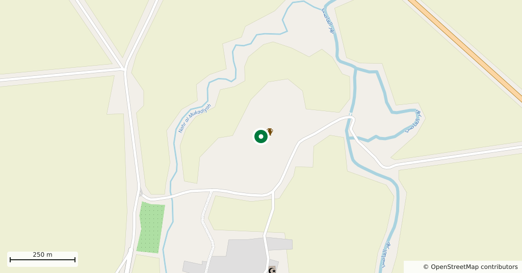
A low, broad mound on the east bank of the Orontes, 24 km southwest of Homs. The Bronze Age city of Kadesh stood here, and in 1274 BC the Egyptian and Hittite armies met in front of it. The village of Tell Nebi Mend now sits at the foot of the mound, which abuts it on the north.
Getting there
About forty minutes by car from Homs on the road toward al-Qusayr. You go up to the tell through the village. The site is not fenced, and farmland runs right up to it, so asking directions in the village is the practical way.
How long it takes
An hour. What you come for is not a building but a place: the view from the top of the mound, where the Orontes valley opens and the plain of the battle lies in front of you.
What is there
The mound is made of settlement layers stacked on each other, the lowest going back to about 2800 BC. Trenches on the upper mound produced six cuneiform tablets, and one of them names a ruler, which settled the identification of the site as Kadesh. Potsherds still show on the surface; leave them where they lie.
What most people miss
Climb the western slope and look at the Orontes. It explains in one glance why a city stood here: the river is fordable at this point, and the north-south road had to use that ford. Years after the battle, Ramesses and the Hittite king concluded a treaty that counts among the earliest known agreements of its kind between two states. The mound was damaged during the recent fighting.
Tips
- The way up runs through the village; ask there, as there are no signs
- Leave the potsherds on the surface where they are, the site is protected
- Climb the western slope, since the ford on the Orontes only shows from there
- You cross farmland to reach it; keep out of planted fields
Transparency
- How this was chosen
- Written by hand; opening hours, entry fee and coordinates are kept as data. A field that is not known for certain is marked as variable rather than guessed.
- Facts checked
- August 2026
- Last updated
- August 28, 2026