Half a day in Homs: three stops from the citadel mound to the mosque
Half a day in Homs, three stops: the citadel mound, the Church of the Holy Belt and the Khalid ibn al-Walid Mosque. 2470 metres, hour by hour, taxi optional.
- Duration
- 4 hours
- Distance
- 2.5 km
- Difficulty
- Easy
- Best season
- Year round, except summer middays
- stops
- 3
- City
- Homs
The old city of Homs is small, and three stops fit into a single morning: the mound in the southwest, the church in the middle, the mosque to the north. The two legs between them are 1280 and 1190 metres — walks of 16 and 15 minutes, or five minutes each by taxi when it is hot. 2470 metres in all. The order runs south to north and the morning ends before noon, because the mosque fills up at the midday prayer. For a Friday, pick another day.
The route
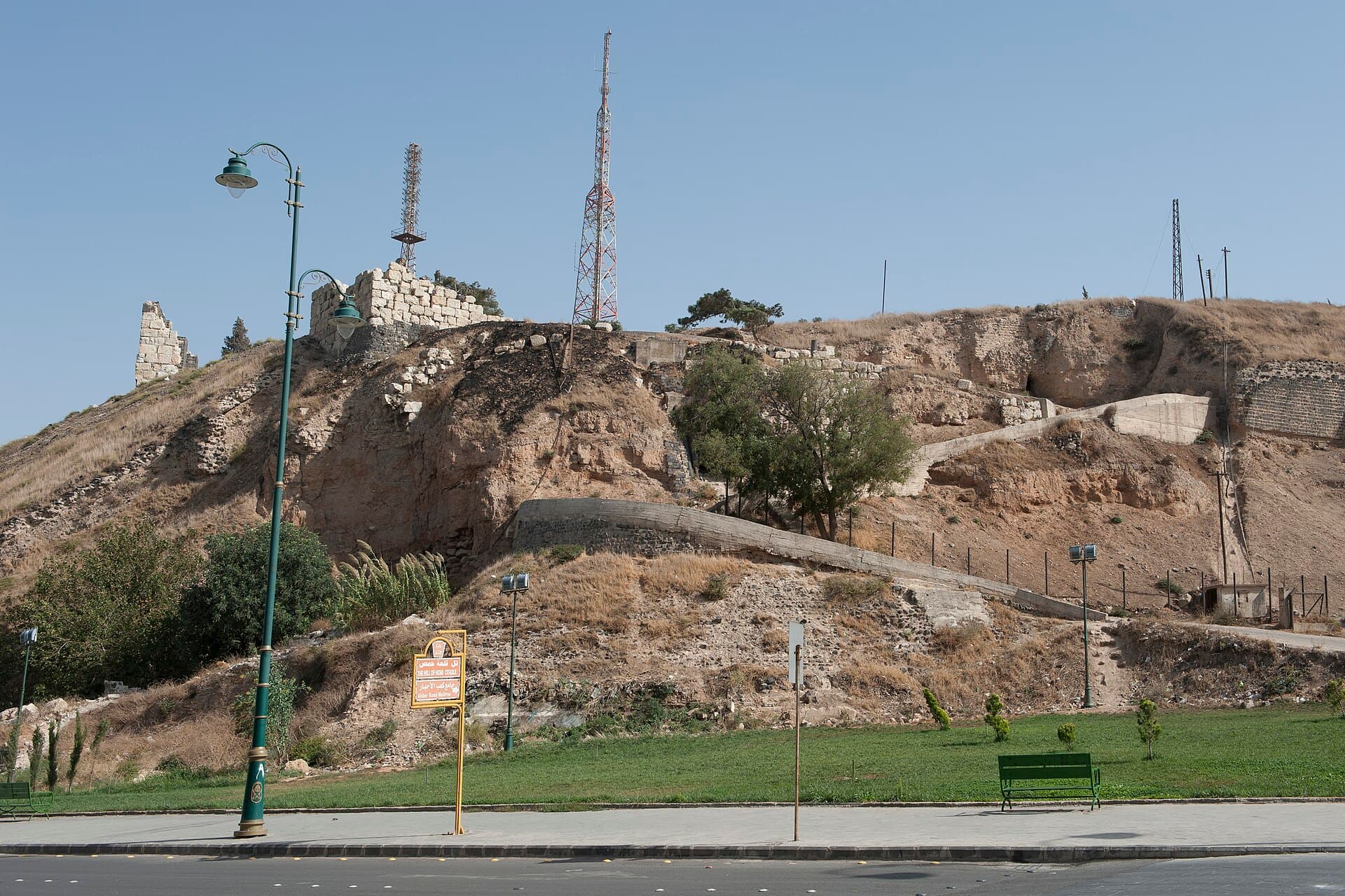
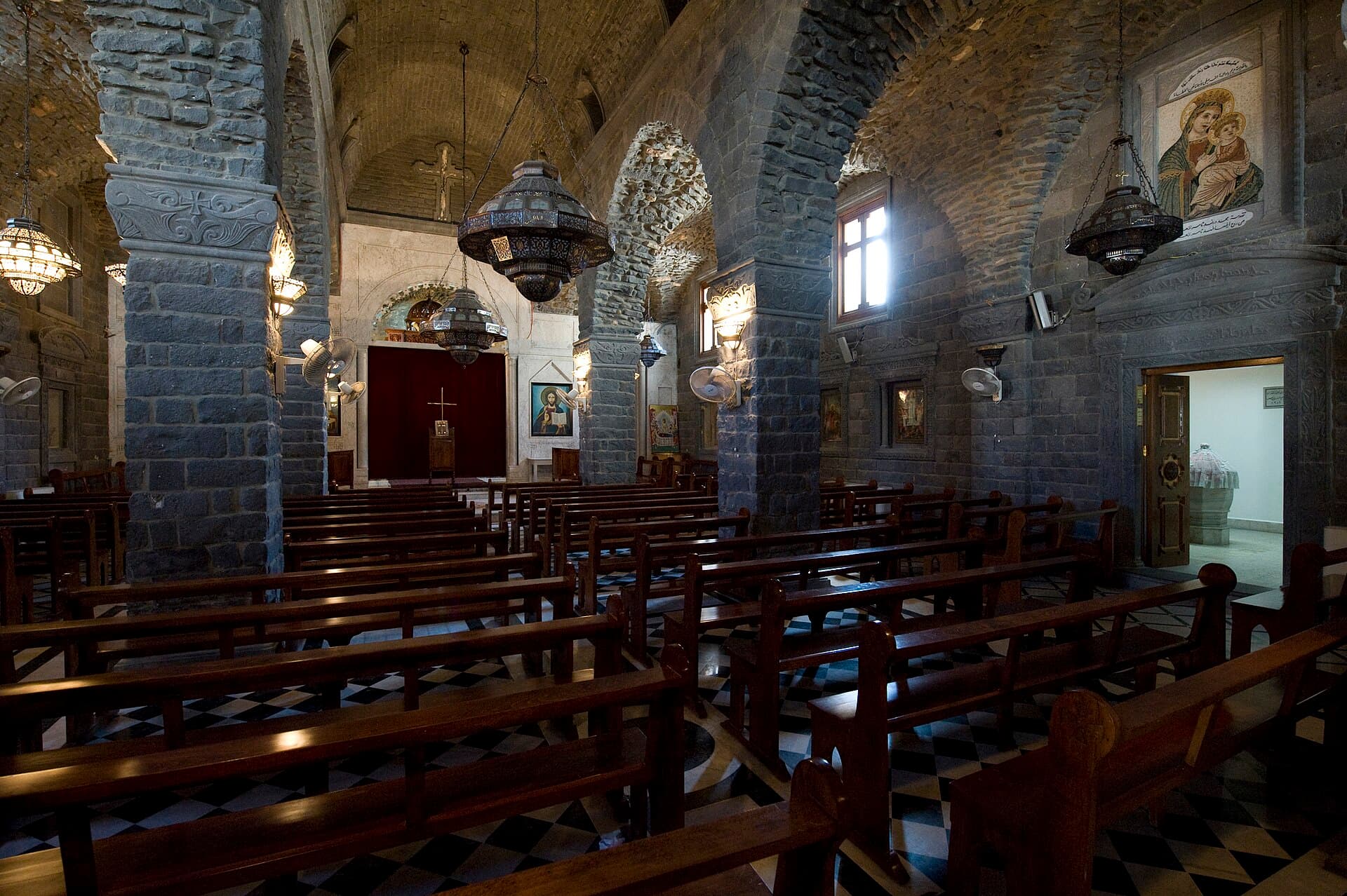
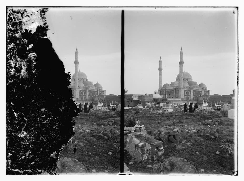
Start at the mound. No castle stands here: an artificial hill rising 32 metres above the plain, a stone-faced slope, and fragments of wall on top. Walk around the foot of it, then head northeast. It is 1280 metres to Bustan al-Diwan, 16 minutes; the door of the Church of the Holy Belt sits inside a courtyard and is not visible from the street. The part worth seeing is below ground and the ceiling is low. Coming out, turn north: the Khalid ibn al-Walid Mosque is 1190 metres on, 15 minutes, standing in the middle of a wide garden with all four faces banded in black and white. Taxis run on both legs if you would rather not walk.
Timing
Be at the foot of the mound at 09:00. The slope has no shade, and early on it is both cooler and lit from the side, which is what brings out the stone facing. Midday ruins both. Be at the church at 10:20, outside service times. If the door is shut, ask in the courtyard; it usually opens. Reach the mosque at 11:30, while the garden is still empty and the facade unshadowed. The tomb is in the northeast corner of the interior. The route ends at 12:30, ahead of the crowd for the midday prayer.
Take care
Two of the stops are places of worship: cover shoulders and knees, and do not photograph during a service or a prayer. The church is free to enter, while the fee at the mound changes — check it there. The slope is slippery and unshaded, so shoes with grip and a bottle of water both help; the poles on the summit are antennas, not castle remains. The mosque is very crowded at Friday midday prayer, so leave that hour for another day. In the underground part of the church the ceiling is low; bend as you go in. Repair work is going on in the old city and some lanes may be closed, so asking the way is the shortest route.
The route on a map
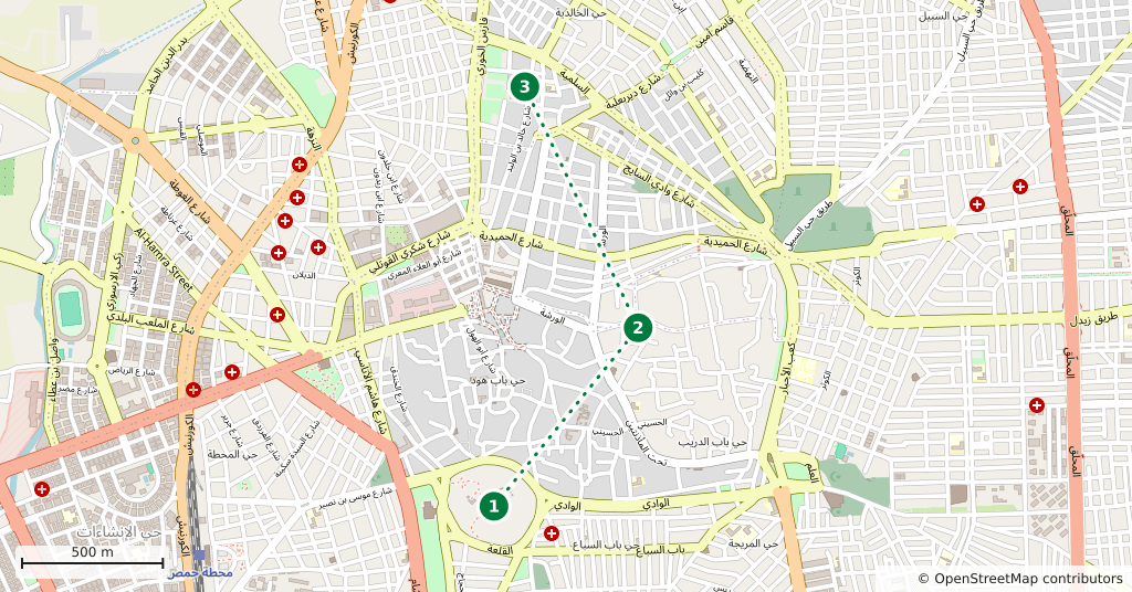
Stops along the route
- 01
- 02
- 03
Transparency
- How this was chosen
- The stops and their order were set by hand. The line on the map is real road geometry, not a straight hop between pins; distance and duration belong to that itinerary.
- Facts checked
- August 2026
- Last updated
- September 15, 2026