Tell Tweini (Gibala)
A mound standing in the olive groves just east of Jableh. This was the southernmost harbour town of the kingdom of Ugarit, and it burned down around 1200 BC.
- Opening hours
- Open site, daylight hours
- Entry
- Free
- Duration
- 60 minutes
- Best time
- Morning; the flies come off the groves in the afternoon and the mound heats up
- Period
- Early Bronze — Late Bronze — Iron Age
- Address
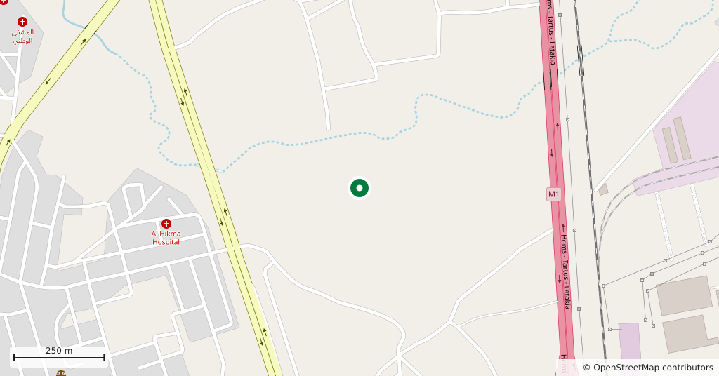
- 1 km east of Jableh, on the Jableh coastal plain; 30 km south of Latakia
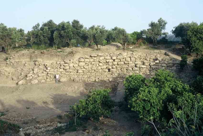
A kilometre east of Jableh, among orange and olive groves, a flat-topped mound rises out of the plain. It covers 350 by 290 metres and stands fifteen to twenty metres above the ground around it. This is thought to be Gibala, a place named in the texts of Ugarit: the kingdom’s southernmost harbour town, just north of the Sianu border. No written document has come out of the mound, so the identification is not settled; its size, its occupation levels and its position are what point to it.
Getting there
Twenty minutes on foot from the eastern edge of Jableh, five by car. 30 kilometres south of Latakia; every minibus on the coast road calls at Jableh, and from there you only need to ask for the field track. The mound sits nearly two kilometres inland and is not visible from the shore.
How long it takes
An hour. The mound is not large, but the excavation areas are separate from one another, and walking between them and reading the cut faces takes time.
What to see
The trenches have been left open: stone footings, room plans, the lines of streets. The most legible thing is the city wall along the southern edge of the mound — roughly dressed large blocks, exposed in a long run. It reads at once. Because it sits in olive groves this site feels unlike the mounds of the eastern plains: there is shade, and the soil is red clay rather than dry dust. The excavators ran a geophysical survey across the entire surface and recovered the street layout of the Iron Age town from it, so there is a documented city plan here for a city that no longer stands.
What not to miss
The most striking find from the mound is a communal tomb. It dates to about 1700 BC and held the bones of 42 adults and 16 infants, together with 160 vessels, bronze pins, a figurine and a fenestrated bronze axe. Axes of the same type have been found at Tell Sukas, at Ugarit and at Byblos — this coast was part of a network, not the end of one. Another detail: an Assyrian cylinder seal of the 13th century BC turned up in an Iron Age layer. It was an heirloom, still in use two centuries after it was made.
What remains
The town burned around 1200 BC, in the years when Ugarit itself fell. Excavation began in 1999 with a joint Syrian–Belgian team and stopped in 2010. Tell Tweini is the only site in the region dug through every level from the Early Bronze Age to modern times, and that is where its value lies. There is no guard and no interpretation board; the groves around it are private, so ask before you cross.
Tips
- Follow the wall line along the southern edge; it is the most readable structure here
- The surrounding groves are private property — ask the owner before crossing
- It fits comfortably into the same day as the Roman theatre in Jableh
- Keep off the edges of the trenches; coastal soil slips after rain
Transparency
- How this was chosen
- Written by hand; opening hours, entry fee and coordinates are kept as data. A field that is not known for certain is marked as variable rather than guessed.
- Facts checked
- September 2026
- Last updated
- September 15, 2026