Zabadani
A green valley between two mountain ridges, 47 km north-west of Damascus. Its fruit orchards, summers cooler than the capital, and what the war left behind.
- Opening hours
- Open town, all day
- Entry
- Free
- Duration
- 240 minutes
- Best time
- June–September, when Damascus is hot and evenings here are cool
- Period
- —
- Address
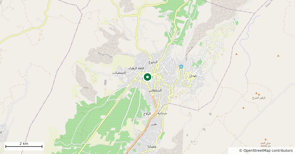
- Zabadani, 47 km north-west of Damascus, Rif Dimashq
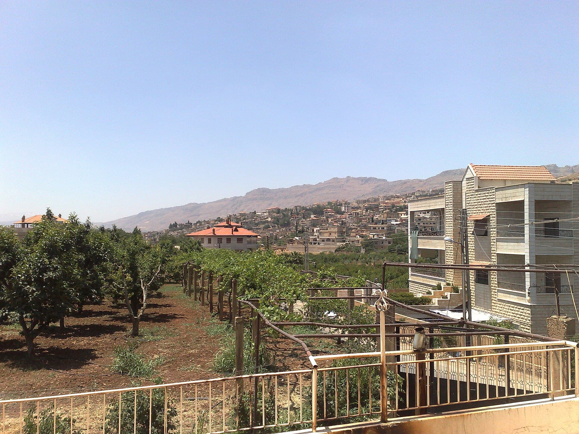
The air changes as you climb from Damascus towards the Lebanese border. Zabadani sits in a plain between two ridges, between 1150 and 1250 metres, and summers here run 5 to 8 degrees cooler than in the capital. That difference is what turned the town into a summer resort a century ago. The orchards are still there. So is the war damage.
Getting there
Off the right-hand side of the Damascus-Beirut highway, 47 km from the capital, about an hour by road. You climb the whole way, out of the Damascus plain and into the Anti-Lebanon range. The town spreads up the hillside with its centre on the valley floor.
What to see
What Zabadani offers is a landscape rather than a monument: apple, apricot and walnut orchards covering the valley floor, with vine trellises between them, and stone houses stepping up the slope. The town is mostly Sunni, with a long-established Christian community that has its own church and monastery. Bloudan is the next stop up the mountain, at 1500 metres, and cooler still.
When to go
June to September. While the Damascus plain bakes, evenings up here need a layer. Snow falls from December to February, temperatures drop below freezing and mountain roads can close; in winter, ask whether the road is open before you set out.
What remains
Zabadani was one of the first towns to change hands in the war, in 2012, and then spent years under siege and shelling. A UN-brokered agreement in 2015 led to its evacuation, and the handover was completed in 2017. Much of the housing and infrastructure was damaged and the town has not regained its population. Today repaired streets stand next to ruined buildings in the centre, while the orchards are worked as before. What you see is neither the old resort town nor a ruin, but something between the two.
Tips
- Evenings are cool even in summer; bring a light layer
- Snow can close the roads in winter — check conditions before setting out
- Bloudan is higher up the same slope; the two make one day trip
- Repair has not moved at the same pace in every quarter; damaged streets remain
Transparency
- How this was chosen
- Written by hand; opening hours, entry fee and coordinates are kept as data. A field that is not known for certain is marked as variable rather than guessed.
- Facts checked
- August 2026
- Last updated
- August 28, 2026