From the coast to the castle: Latakia to Krak des Chevaliers
From a Bronze Age port to two Crusader castles in a single day. Three stops and 145 kilometres: distance, timing, and the hour the road looks its best.
- Duration
- 10 hours
- Distance
- 145 km
- Difficulty
- Moderate
- Best season
- April–June, September–October
- stops
- 3
- City
- Latakia
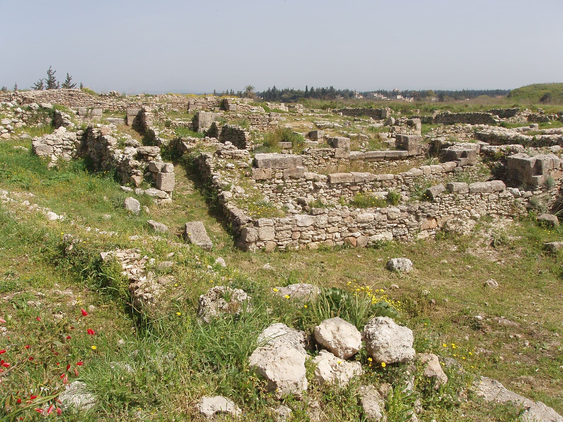
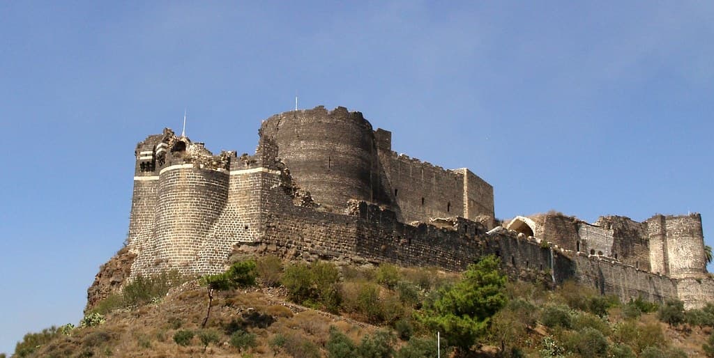
This drive crosses three thousand years in a day: a mound where the alphabet was born in the morning, a black castle over the sea at midday, a white one on the mountain in the late afternoon. You need a car. It can be done on public transport, but the day will not be long enough.
The road
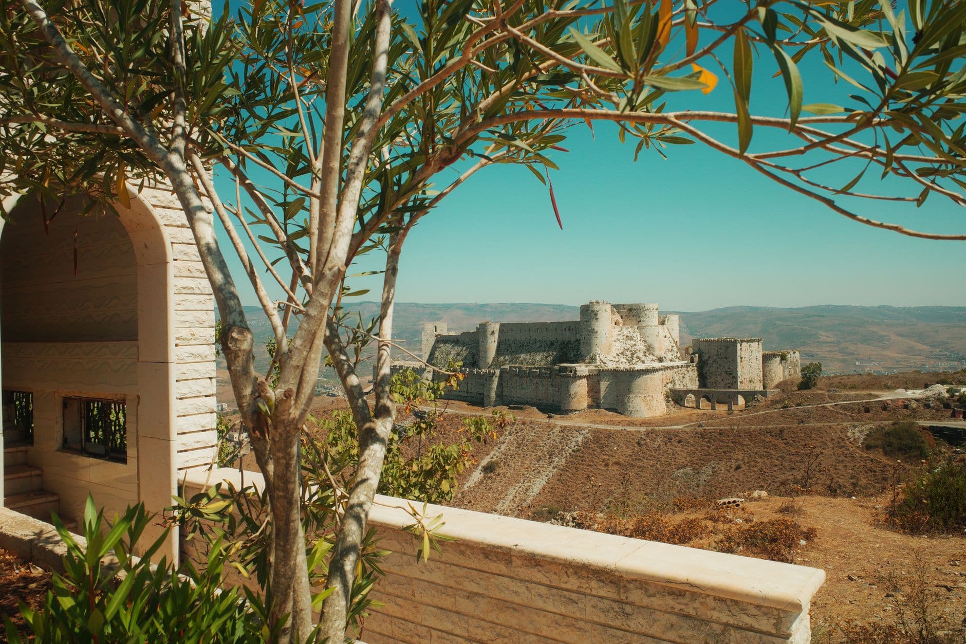
North first, to Ugarit, 11 kilometres above Latakia. It is a short detour, but the oldest layer of the day is there. Then back and south along the coast road: past Baniyas, Margat Castle appears on its basalt spur over the sea. After Margat the road bends inland and starts to climb. Olive groves give way to oak, then to bare rock, and Krak des Chevaliers appears all at once on the last bend.
Timing
Leave at eight in the morning. There is no shade at Ugarit, so push it early in the day. Reaching Margat in the afternoon is the right call: black basalt heats up in midday sun, and when the sea light turns west the horizon opens from the west walls. Go to Krak last; the inner courtyard moves into shade after mid-afternoon and the light on the west walls is at its best then.
Take care
Three stops fit into one day, but tightly; if you have to cut one short, make it Ugarit — it is the smallest. The mountain road is narrow and full of bends and coming back down in the dark is hard, so plan the return before sunset.
The route on a map
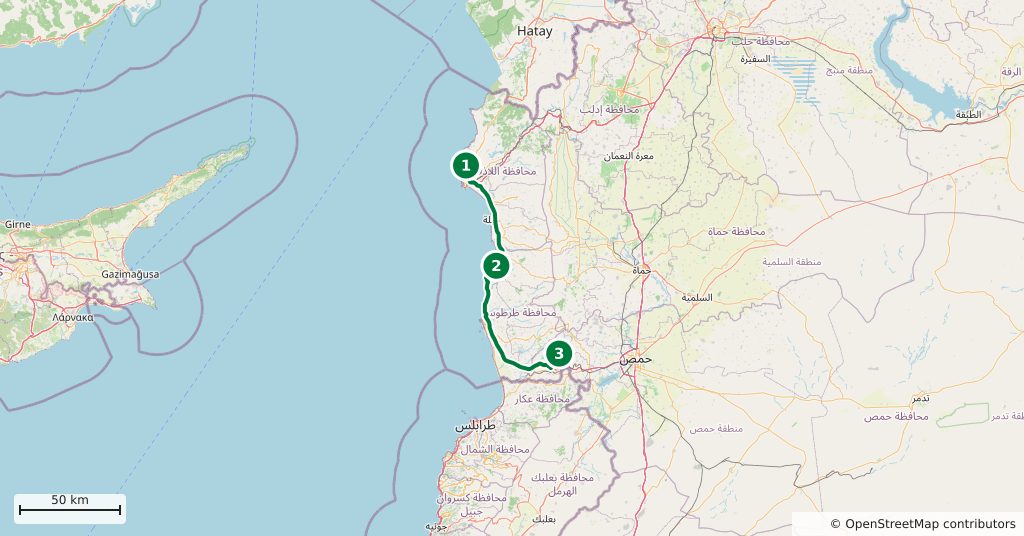
Stops along the route
- 01
- 02
- 03
Gallery
Transparency
- How this was chosen
- The stops and their order were set by hand. The line on the map is real road geometry, not a straight hop between pins; distance and duration belong to that itinerary.
- Facts checked
- August 2026
- Last updated
- September 15, 2026