What is Raqqa famous for?
Raqqa is known as the city where the Abbasid caliph Harun al-Rashid lived for twelve years. In 772 the caliph al-Mansur had the garrison city of al-Rafiqa built on the bank of the Euphrates; of its 4580 metres of wall, 2660 metres still stand, and with their semicircular towers they are the most visible thing left of the old city. Inside the wall are the brick minaret of the Great Mosque and the vaulted halls of Qasr al-Banat, and at its south-eastern end the Baghdad Gate. The city was the centre of ISIL between 2014 and 2017, and most of its residential fabric was destroyed in the siege of 2017, which is why those surviving Abbasid buildings are now very nearly all there is to see.
Highlights
- The surviving stretch of the al-Rafiqa wall and its semicircular towers
- The north gate, rebuilt in the 1990s: the oldest city gate left from the Abbasid period
- The brick minaret, all that is left of the Great Mosque
- The vaulted halls of Qasr al-Banat opening onto its courtyard
- The brick front of the Baghdad Gate with its broken arch
What to see
- Raqqa · Abbasid period
Tall Mahra (Tell Sheikh Hasan)
An Abbasid town in the Balikh valley between Raqqa and Hisn Maslama: a square wall 450 metres a side with a church and a mosque inside. Looted; access unconfirmed.
- Raqqa · 8th–9th century
Hisn Maslama (Madinat al-Far)
A town in the Balikh valley that grew from an Umayyad general's estate: a square wall 330 metres a side, half-round towers and cisterns. Access unconfirmed.
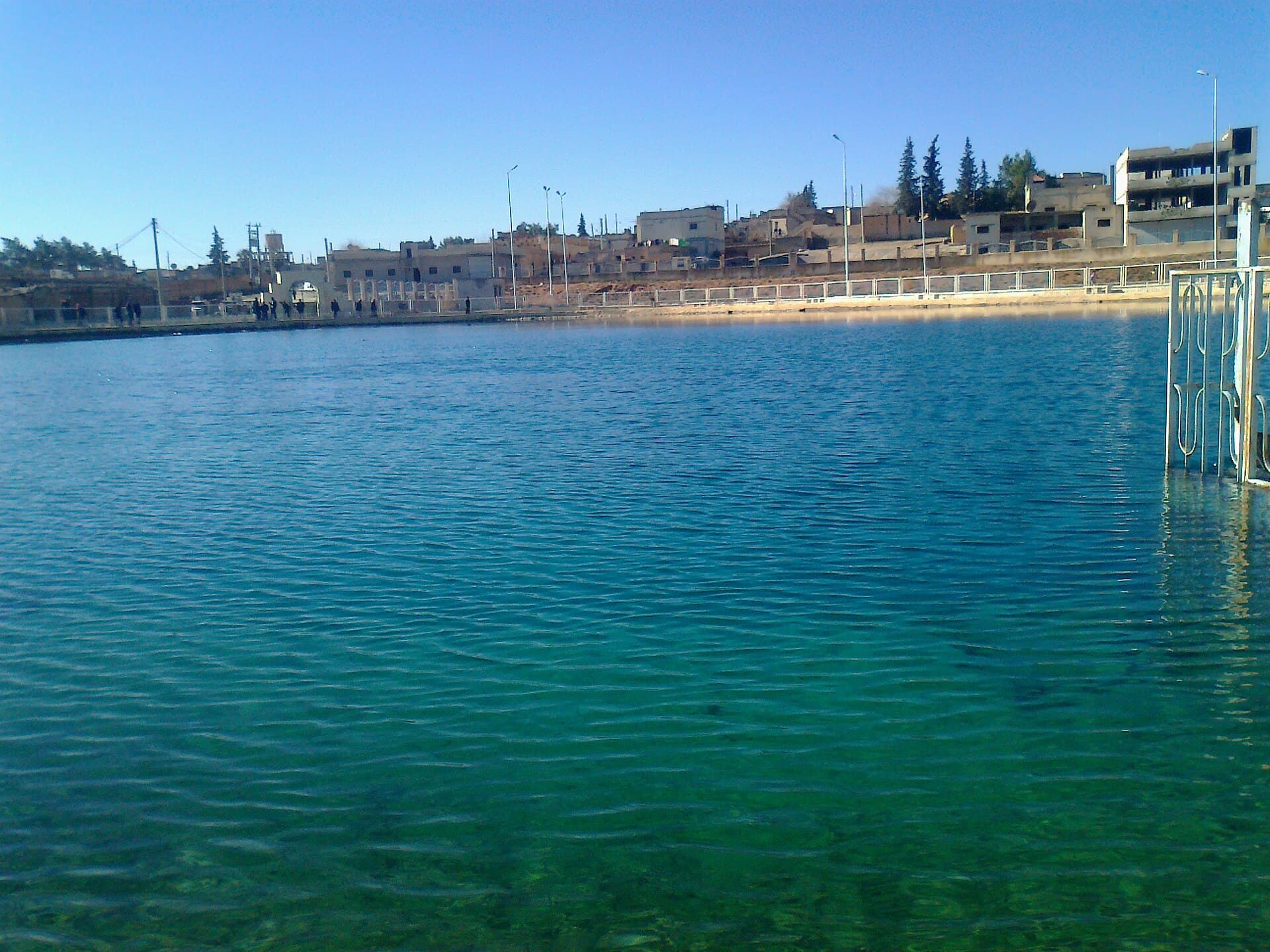 Raqqa · source of the Balikh River
Ain al-Arous spring, source of the Balikh
The karst spring 3 km south of Tell Abyad where the Balikh River rises: a clear pool, the shrine of Abraham and a mill from 1908. Access to the site is unconfirmed.
- Euphrates shore · Uruk period, late 4th millennium BC
Jebel Aruda, an Uruk Settlement on the Euphrates
A late 4th-millennium BC Uruk settlement on a ridge above Lake Assad: an 80 by 70 metre temple terrace, the Red and Grey temples, 13 numerical tablets and lapis.
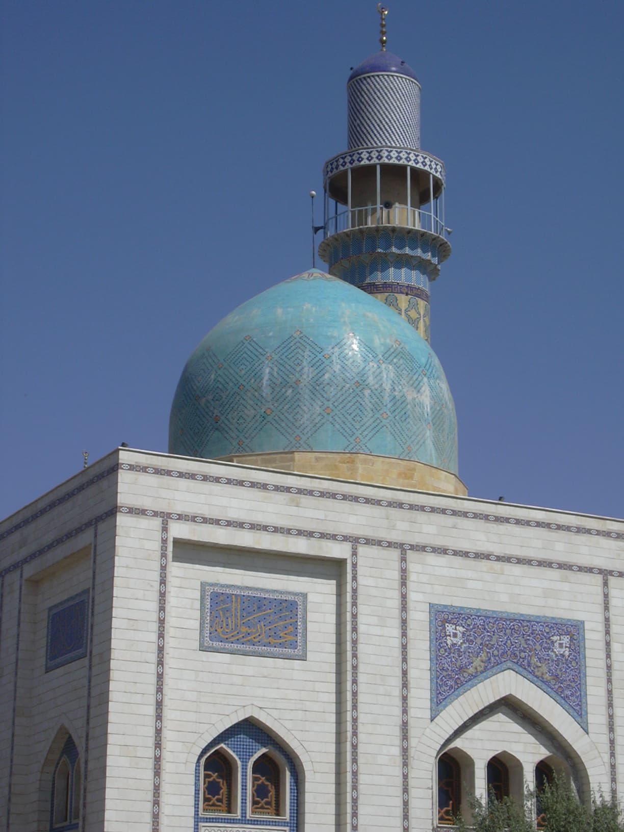 Raqqa · 1737 inscription, 2003 complex
The Uwais al-Qarni Shrine, Raqqa
The shrines of Uwais al-Qarni and Ammar ibn Yasir in Raqqa: a cemetery tied to Siffin, a 1737 Ottoman inscription, a 2003 complex blown up in 2014. Status unclear.
- Raqqa · 4th–6th century
Tetrapyrgium (Qseir es-Seileh), a Late Roman Frontier Fort
Tetrapyrgium, a small Late Roman fort between Sura and Resafa: a 38 by 37-metre plan with four corner towers, a garrison of 70, an Umayyad monastery, and its dig.
Ready-made routes
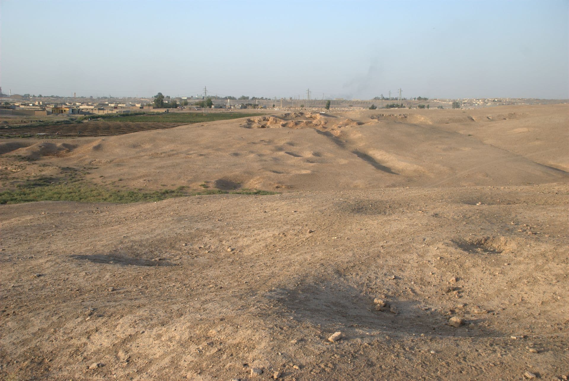 On foot and by car · half a day
Raqqa’s four cities: a half-day walk and drive from the Abbasid walls to Tuttul
Half a day in Raqqa: walk Bab Baghdad and the walls of al-Rafiqa, then drive to the tells of Tuttul and Tell Zeidan. About 27 km, with timings and access notes.
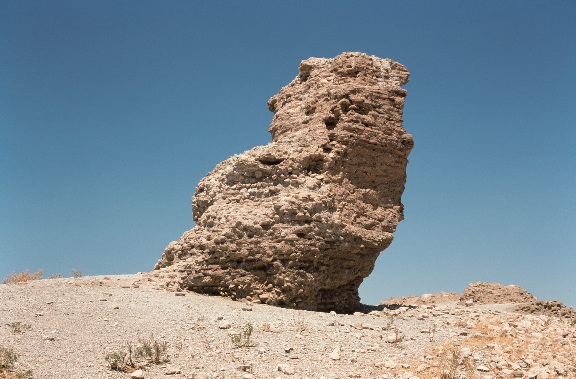 By car · 1 long day
Raqqa to Resafa along the Roman frontier: Heraqla, Sura and Tetrapyrgium
A day trip from Raqqa along the Roman frontier: Heraqla's stone platform, the legionary city of Sura, the fort of Tetrapyrgium and Resafa. About 187 km by car.
 By car · 2 days
Down the Euphrates: two days from Qalaat Jaabar to Deir ez-Zor
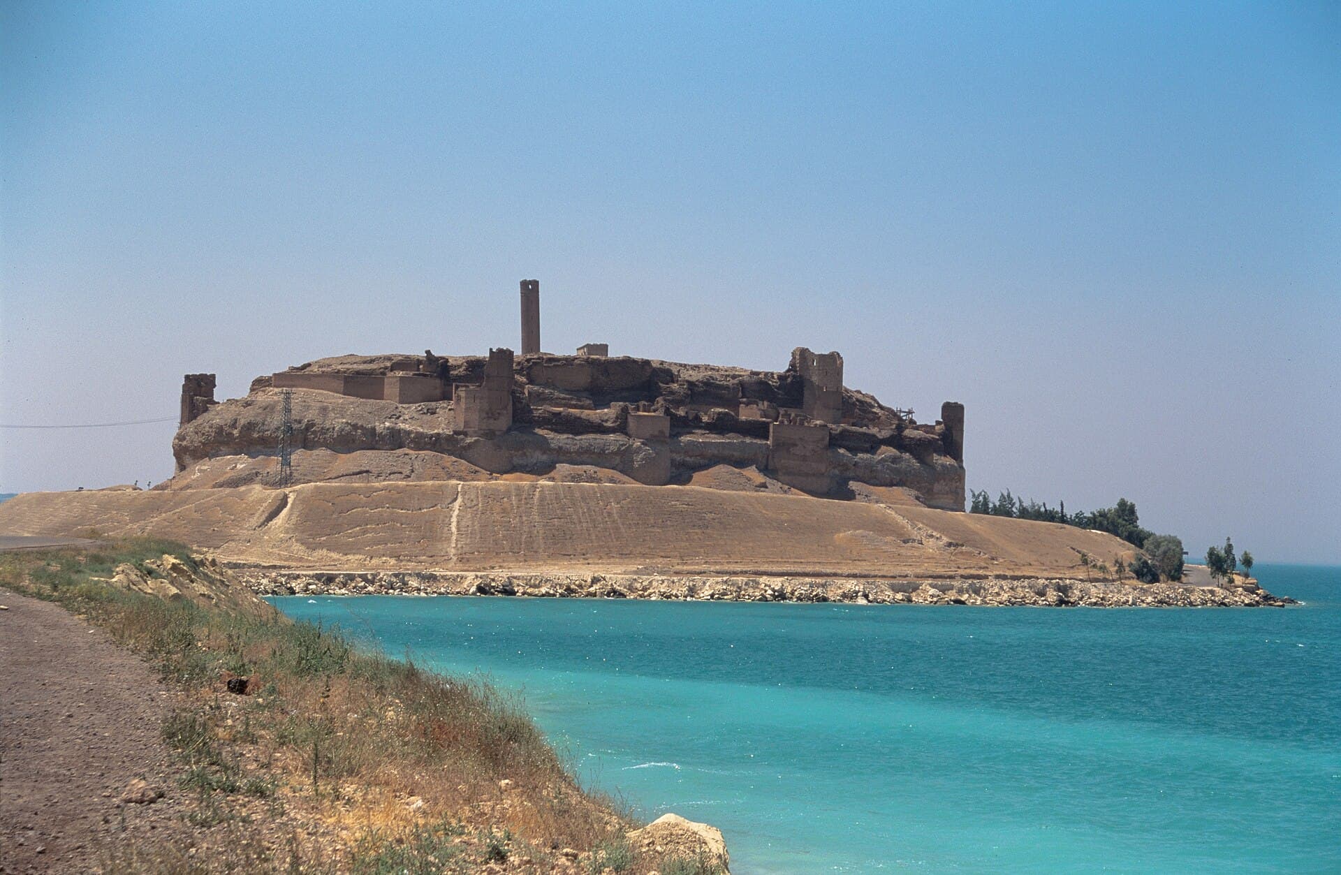
A castle marooned in a lake, an Abbasid brick gate, a museum that explains a whole valley and a walled city holding a gorge: 306 kilometres in two days.
Transparency
- How this was chosen
- The answer on this page is written by hand. The lists are built from published records tied to this city and grow on their own as records are added.
- Facts checked
- September 2026
- Last updated
- September 15, 2026