The Euphrates in Syria
West Asia’s longest river runs 710 km through Syria: the Sajur, Balikh and Khabur, three dams, and the towns and ruins on its banks from Jarabulus to Abu Kamal.
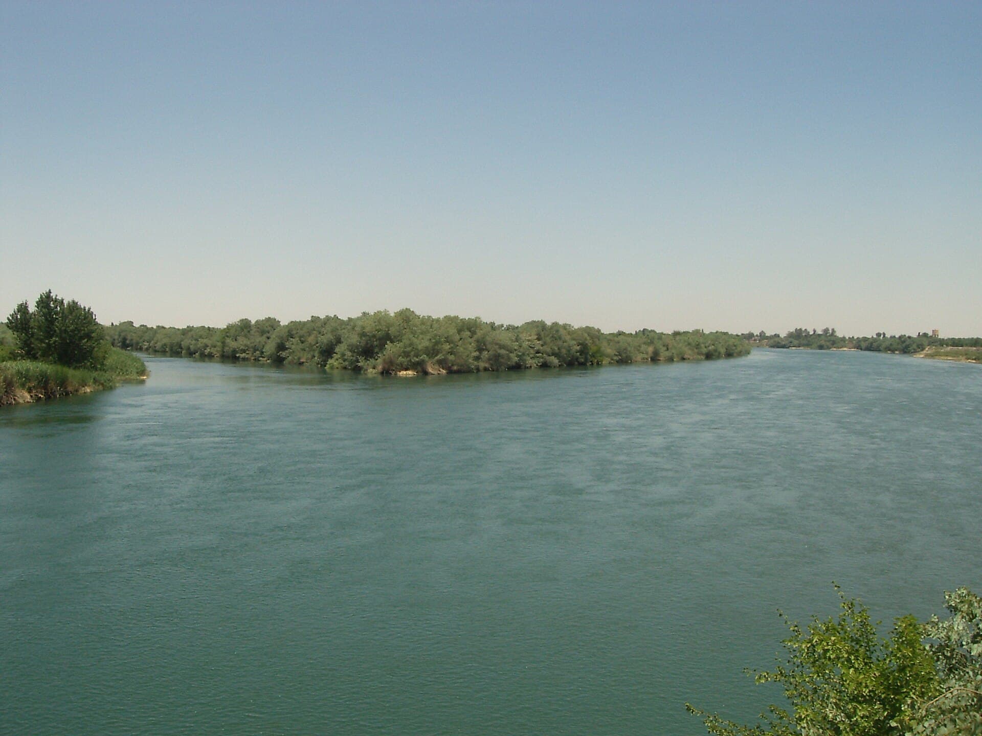
- Opening hours
- Open ground, no time restrictions
- Entry
- Free
- Duration
- 60 minutes
- Best time
- Late afternoon in spring and autumn; in summer the valley is very hot after noon
- Period
- Natural; settlement along its banks from the Neolithic to today
- Address
- In Syria from Jarabulus to Abu Kamal; flows through Raqqa and Deir ez-Zor
The Euphrates is the longest river in West Asia. From the source of the Murat to its meeting with the Tigris it runs 3000 kilometres: 1230 in Turkey, 710 in Syria and 1060 in Iraq. It enters Syria at Jarabulus and leaves at Abu Kamal, dropping 163 metres on the way. The towns and fields of eastern Syria, and its ancient cities from Mari to Dura Europos, all stand along this water.
Where to see it
No special trip is needed. In every riverside town the river runs right through the streets. At Deir ez-Zor it is wide and full of islands, and in the late afternoon the whole city seems to come down to the bank for a walk. At Raqqa it marks the southern edge of town. At Mayadin the mound of Qal’at al-Rahba gives a view across the full width of the valley. And from the cliffs of Dura Europos you can see at a glance how the river turns the desert into a green strip.
How long it takes
An hour on a riverbank is enough to sit and look. Seeing the river properly is a matter of a route: the site’s two Euphrates routes, from Qal’at Ja’bar to Deir ez-Zor and from Deir ez-Zor to Mari, split the valley into two days from north to south.
Which tributaries join in Syria
The Euphrates takes in three tributaries on Syrian soil, and once it enters Iraq it has no natural tributaries left.
- The Sajur: rises near Gaziantep, waters the Manbij plain and flows into the reservoir of the Tishrin Dam.
- The Balikh: most of its water comes from a karst spring near Ayn al-Arus; it joins the Euphrates at Raqqa.
- The Khabur: the longest of the three and the one with the most water. It rises from karst springs around Ras al-Ayn, passes Hasakah and meets the Euphrates near Busayra.
The dams
Three dams divide the Syrian stretch: Tishrin in the north, Tabqa in the middle with Lake Assad behind it, and the Baath Dam downstream. The reservoir of the Tabqa Dam is the river’s widest expanse of water in Syria; Qal’at Ja’bar now stands on its shore.
What lies along its banks
The riverside towns, from north to south, are Jarabulus, Raqqa, Deir ez-Zor, Mayadin and Abu Kamal. The ancient sites in the valley recorded on this site are Balis, Qal’at Ja’bar, Halabiye and Zalabiye facing it, Circesium, Qal’at al-Rahba, Terqa, Dura Europos and Mari. All were founded on the same logic: where the river could be crossed or the valley narrowed.
What not to miss
The river’s name. The Turkish “Fırat”, the Arabic “al-Furat” and the Syriac “Perat” all come from the same root, the Akkadian “Purattu”. The water flowing past Terqa in the Mari tablets bore the same name. Sitting at a riverside café in Deir ez-Zor, the water passing in front of you has kept its name for four thousand years.
Tips
- Watch the river from the bank at Deir ez-Zor in the late afternoon; in the daytime heat the bank is empty
- Do not swim; the current and depth change from place to place
- See the valley from north to south on the site's two Euphrates routes rather than in one day
- Ask before photographing dams and bridges; some are still guarded installations
Transparency
- How this was chosen
- Written by hand; opening hours, entry fee and coordinates are kept as data. A field that is not known for certain is marked as variable rather than guessed.
- Facts checked
- September 2026
- Last updated
- September 15, 2026