Down the Euphrates to Mari
A 125-kilometre day along the river that starts at the museum and ends at Dura-Europos and Mari. The order matters: the display case first, then the mound.
- Duration
- 10 hours
- Distance
- 125 km
- Difficulty
- Moderate
- Best season
- March–May, October–November
- stops
- 3
- City
- Deir ez-Zor
This route follows the right bank of the Euphrates south-east and covers two and a half thousand years in three stops. It is 125 kilometres in all, a little over two hours in the car. But what matters is not the distance, it is the order: the museum comes first, because what you see on the mound is a plan and what you see in the museum is the surface of that plan.
The route
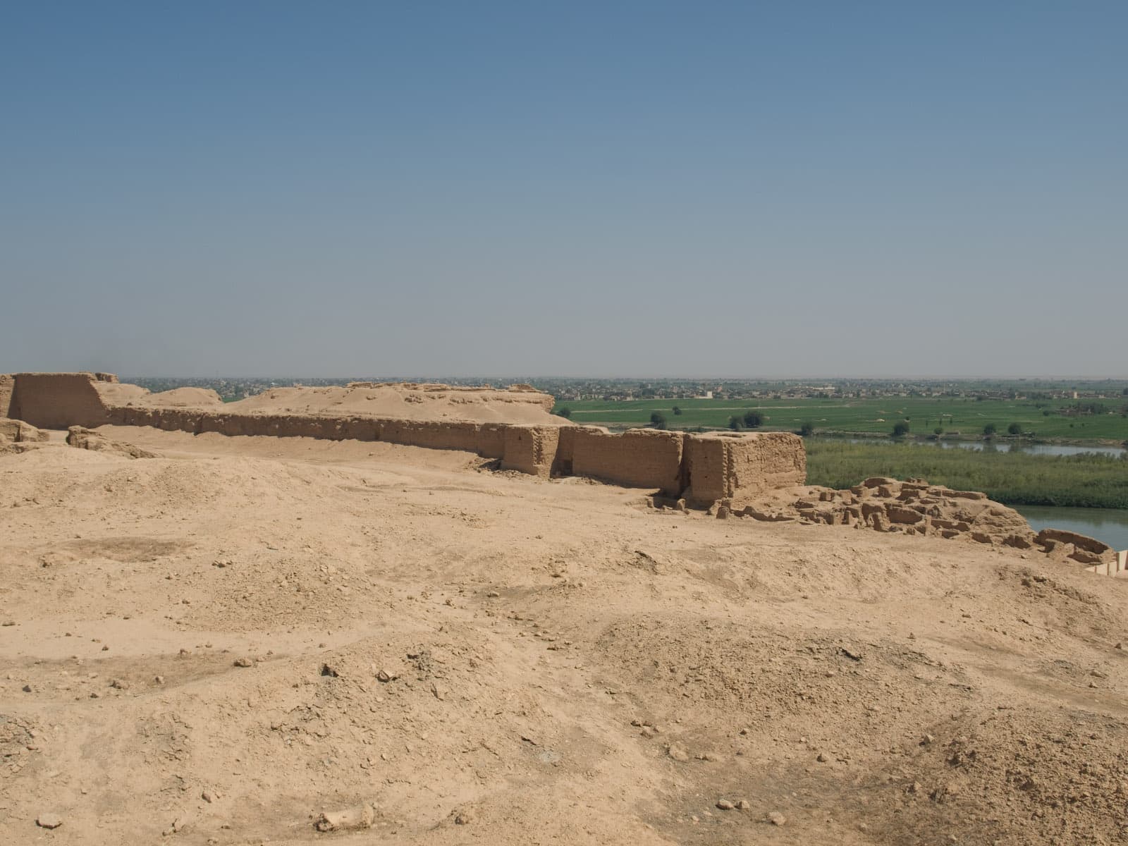
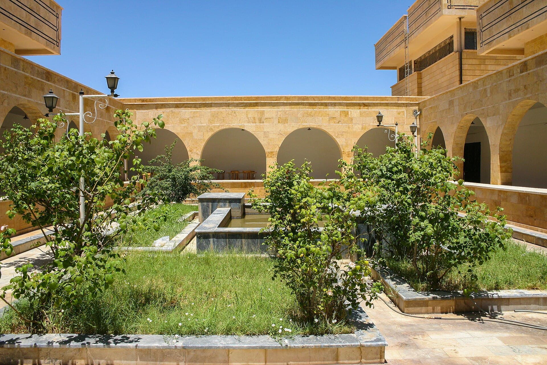
Start at the Deir ez-Zor Museum, where the Mari tablets and the painted façade of Zimri-Lim’s palace are. Then head south-east: Dura-Europos is 95 kilometres on, beside the village of Salhiyeh, on a bluff over the river. From there it is another 30 kilometres to Mari, half an hour’s drive. Mari lies north-west of Abu Kamal, close to the Iraqi border, and you come back the same way.
Timing
Be at the museum at eight and on the road by eleven. Reach Dura-Europos before midday and walk the site before the heat sets in. Mari in the afternoon. Be back in Deir ez-Zor before dark: you do not drive this route at night.
Take care
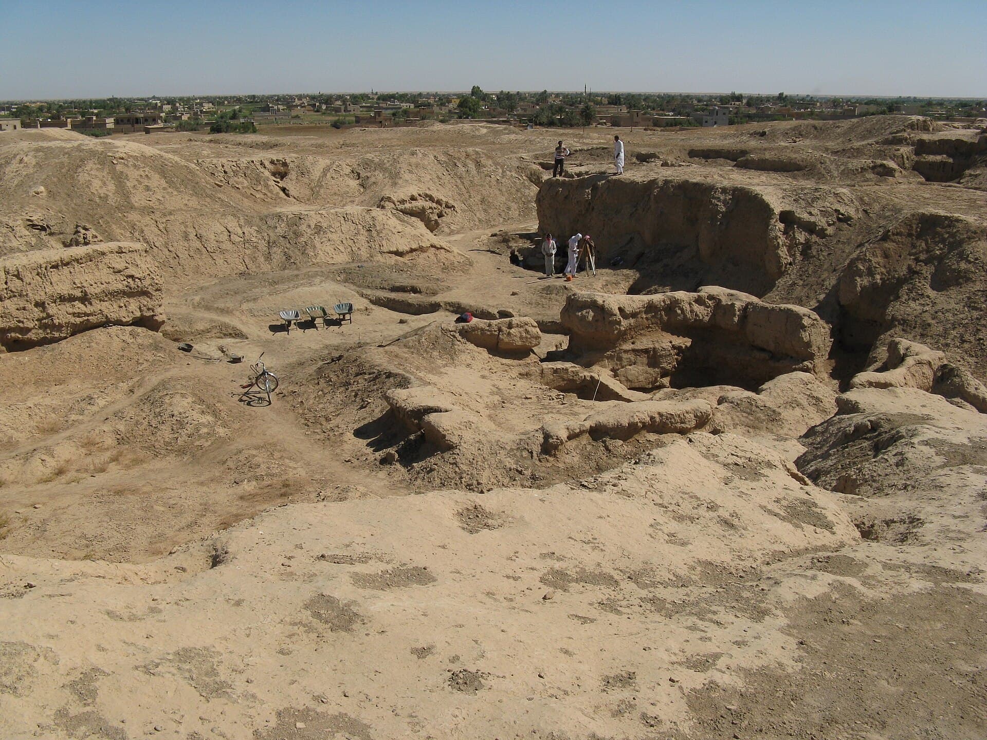
Both excavation sites were dug over by looters after 2011 and the ground is pitted with holes; do not stand on their edges, and stay on the marked line. There is no shade, no water and no fuel at any of the stops — carry all three. Ask in Deir ez-Zor about the state of the countryside that day, and take no photographs at checkpoints. Halabiye is not on this route: it lies to the north-west and is a half-day of its own.
The route on a map
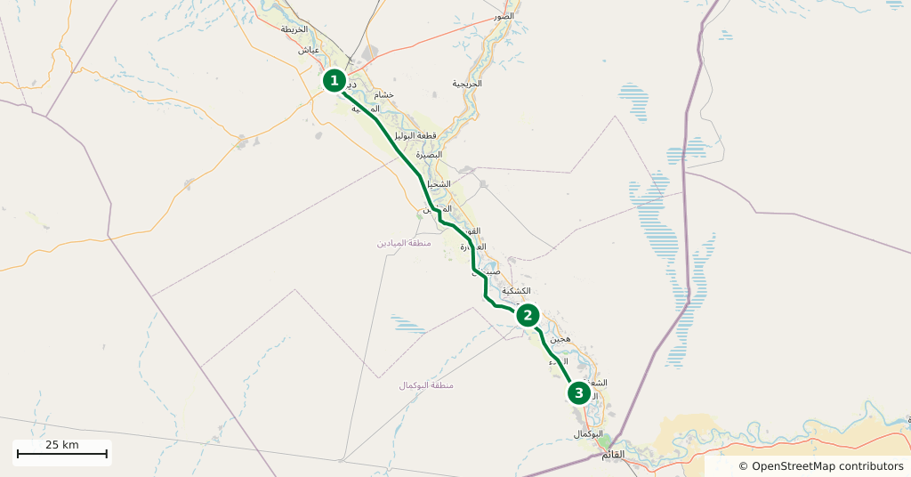
Stops along the route
- 01
- 02
- 03
Transparency
- How this was chosen
- The stops and their order were set by hand. The line on the map is real road geometry, not a straight hop between pins; distance and duration belong to that itinerary.
- Facts checked
- September 2026
- Last updated
- September 15, 2026