Lake Jabbul (Sabkhat al-Jabbul)
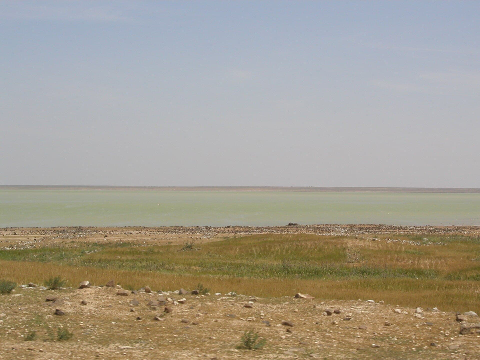
Syria’s largest natural lake lies 30 km southeast of Aleppo. In summer its shallows dry to white salt flats, and part of the shore is a protected waterfowl reserve.
- Opening hours
- Open ground, daylight hours
- Entry
- Variable — confirm at the reserve entrance
- Duration
- 60 minutes
- Best time
- Spring, while the steppe is green; in August the shallows turn to a salt crust
- Period
- Nature
- Address
- Al-Bab district, 30 km southeast of Aleppo, Aleppo governorate
Lake Jabbul is a salt lake with adjoining salt flats 30 km southeast of Aleppo, within al-Bab district. In Arabic this kind of place is a sabkha: a shallow basin whose water comes and goes with the seasons and leaves salt behind when it retreats. It is the largest natural lake in Syria; only the artificial Lake Assad on the Euphrates is bigger. Inside the area is a protected waterfowl site, the Sabkhat al-Jabbul Nature Reserve.
How big is the lake
In 2009 the water covered about 100 km² and its level was fairly stable. The salt flats around it are extensive, and the shoreline moves with the seasons.
Why the water stayed
The lake sits in a closed basin today, meaning no water flows out. In the Pleistocene it was different: the basin filled, overflowed and formed a tributary of the Euphrates.
Until recently the lake swelled in spring and shrank back through summer and autumn. From 1988, irrigation projects on the surrounding land began discharging partly saline water into the basin. The water table stabilised and a permanent lake of about 100 km² formed. The wide sheet of water you see today is a landscape of the last thirty years, not the old seasonal lake.
Salt, grazing and birds
The area has three main uses: waterfowl hunting, livestock grazing on the surrounding steppe, and salt extraction. Jabbul is the main source of salt in Syria. The others are Lake Jayrud northeast of Damascus and Lake Khatuniyah northeast of Hasakah. The reserve is set aside for waterbirds.
Where it is and getting there
The lake lies on the flat land southeast of Aleppo. From the north, the Nahr al-Dhahab valley runs down from the al-Bab side into the salt flats, so the two places fit into one day. It is unclear whether there are visitor facilities on the shore, and access to the reserve varies. Ask in Aleppo before you go.
What most people miss
The difference between the seasons. In August the water in the shallow sections evaporates and leaves a white crust of salt on the lake floor, while greenish water still stands in the deeper part in the same month. Seeing water from one shore and salt flats from another is the quickest way to understand this lake.
Tips
- Bring binoculars; the area is a protected waterfowl site
- Ask locals about the ground before driving onto the salt flats
- The sun reflects off the salt; take a hat and sunglasses
- Pair it with al-Bab; the Nahr al-Dhahab valley runs down into these flats from the north
Transparency
- How this was chosen
- Written by hand; opening hours, entry fee and coordinates are kept as data. A field that is not known for certain is marked as variable rather than guessed.
- Facts checked
- September 2026
- Last updated
- September 15, 2026