Minet el-Beida, the Harbour of Ugarit
A small bay 10 kilometres north of Latakia. In the Bronze Age it was the harbour and the cemetery of Ugarit; today the shore is military and closed off.
- Opening hours
- No open access to the shore; the bay is visible from the west edge of Ugarit
- Entry
- Variable — confirm on site
- Duration
- 30 minutes
- Best time
- Afternoon, when the light is out over the sea to the west
- Period
- Bronze Age — Ugarit
- Address
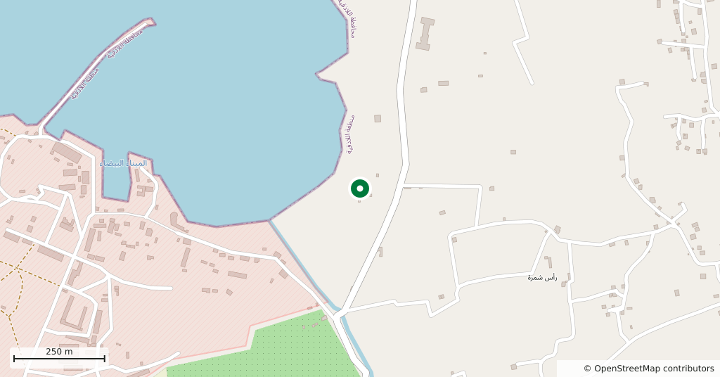
- West of Ras Shamra, 10 kilometres north of Latakia
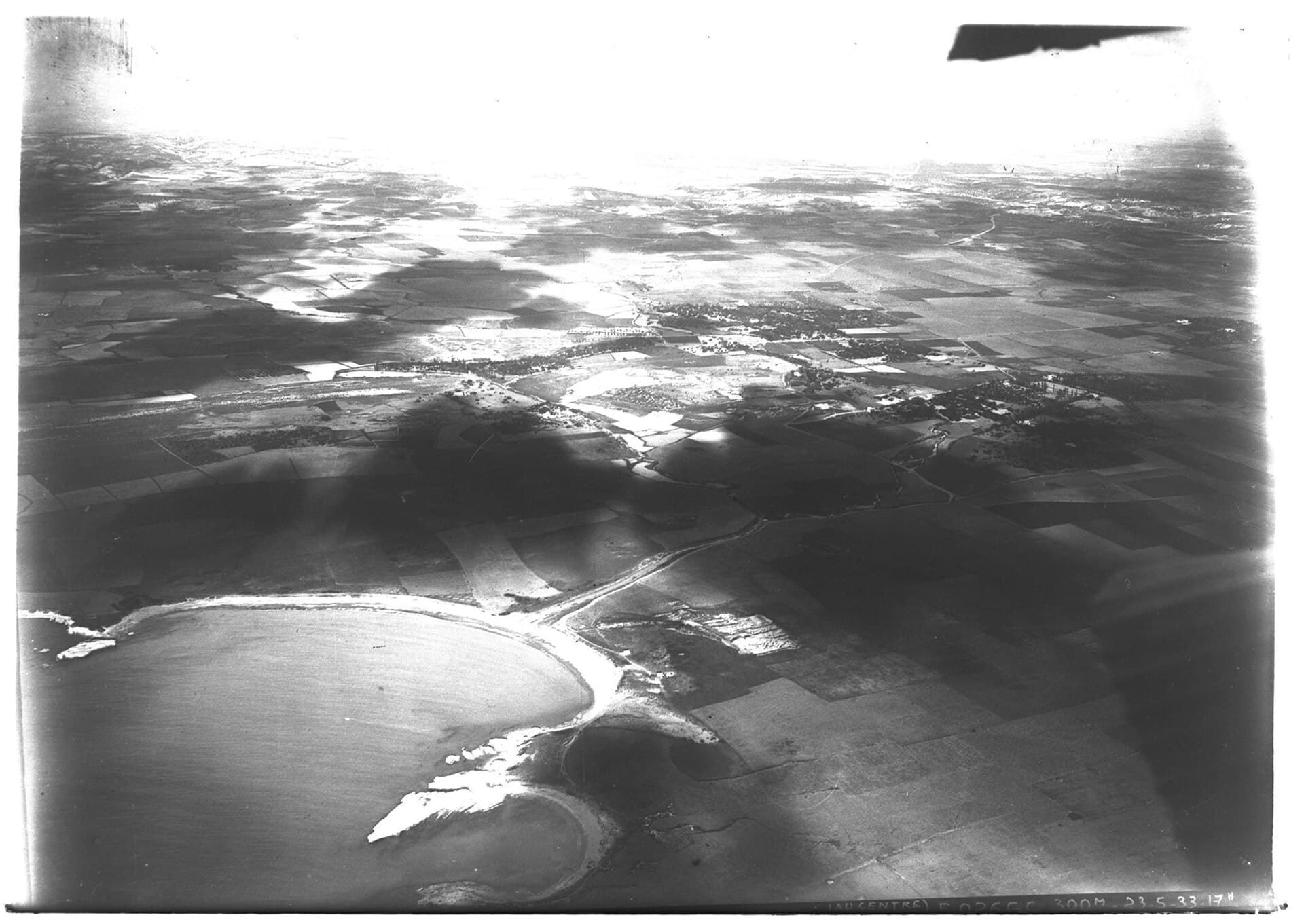
A small bay 10 kilometres north of Latakia, named for the white look of its sand. In the Bronze Age it was called Ma’hadu and it was the harbour of Ugarit: the trade described on the palace tablets went to sea from here. The same ground served as the city’s cemetery.
Getting there
West of the mound of Ras Shamra, the excavated site of Ugarit, at the end of the track that runs down to the sea between the fields. Twenty minutes by car from Latakia. Visitors to Ugarit see the bay from the western edge of the mound, from the high ground.
Where things stand
The bay served for a long time as one of the ports used by the Syrian navy, and the shore has remained a military area. There is no open access; read this page not as a place to walk around but as a place you need to know about in order to understand Ugarit. Conditions change, so check locally and do not push past a closed area.
What to see
From the high ground: the round line of the bay, the headland running into the sea to the north, and the flat farmland between the bay and the mound. The excavation trenches have been covered over and nothing stands. Part of what came out of the bay is in the Louvre. There you find an ivory box lid carved with a goddess feeding two goats, duck-shaped cosmetic boxes made from hippopotamus tusk, terracotta figurines in the Hathor manner, and cylinder seals cut in the Egyptian style.
Why it matters
The earliest finds here date to around 2100 and the latest to about 1200. Most of the goods from the cemetery were made elsewhere — Cyprus, the Aegean, Egypt. That is what set Ugarit apart from its neighbours. The city’s wealth came from this bay rather than from its fields, and the scribes who produced some of the earliest alphabetic writing were keeping the accounts of that trade.
What most people miss
While you are at Ugarit, walk out to the western end of the mound. It is the only point inside the site from which the sea is visible. Only from there does it become clear why the city sat on this particular hill: the harbour within walking distance, the city itself out of reach of the surf and of a raid.
Tips
- Plan it as part of a visit to Ugarit rather than a trip of its own
- There is a military area; respect the fences and the signs, and do not fly a drone
- Look at the Ugarit room in the Louvre before you come; the finds from the bay are there
Transparency
- How this was chosen
- Written by hand; opening hours, entry fee and coordinates are kept as data. A field that is not known for certain is marked as variable rather than guessed.
- Facts checked
- September 2026
- Last updated
- September 15, 2026