Ras Ibn Hani
On a cape north of Latakia, the summer palaces of the kings of Ugarit. Stone footings above the sea, and the tomb chambers beneath the palace, are still in place.
- Opening hours
- Open site, daylight hours
- Entry
- Free
- Duration
- 45 minutes
- Best time
- Late afternoon, when the sea wind drops and the stone takes the warm light
- Period
- Late Bronze (Ugarit) — Hellenistic — Byzantine
- Address
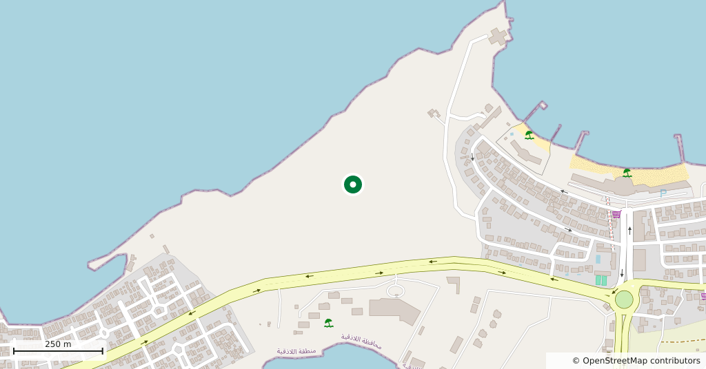
- Ras Ibn Hani headland, 8 km north of Latakia
8 kilometres north of Latakia a low cape runs out into the sea. The texts of Ugarit call it Ra’shu, and it served the kingdom as harbour and summer resort: two hours on foot from the capital. Two palaces were built here during Ugarit’s golden age — one a second residence for the king, the other for queen Ahatmilku. In the 13th century BC somewhere between six and eight thousand people lived on the cape.
Getting there
Fifteen minutes north from central Latakia on the coast road; minibuses and shared taxis run out to the cape. The excavation lies inside the housing that now covers the headland, so ask for the archaeological ground rather than looking for a sign. You can also walk up from the beach.
How long it takes
Three quarters of an hour. The site is small and flat; most of the time goes on the seaward edge.
What to see
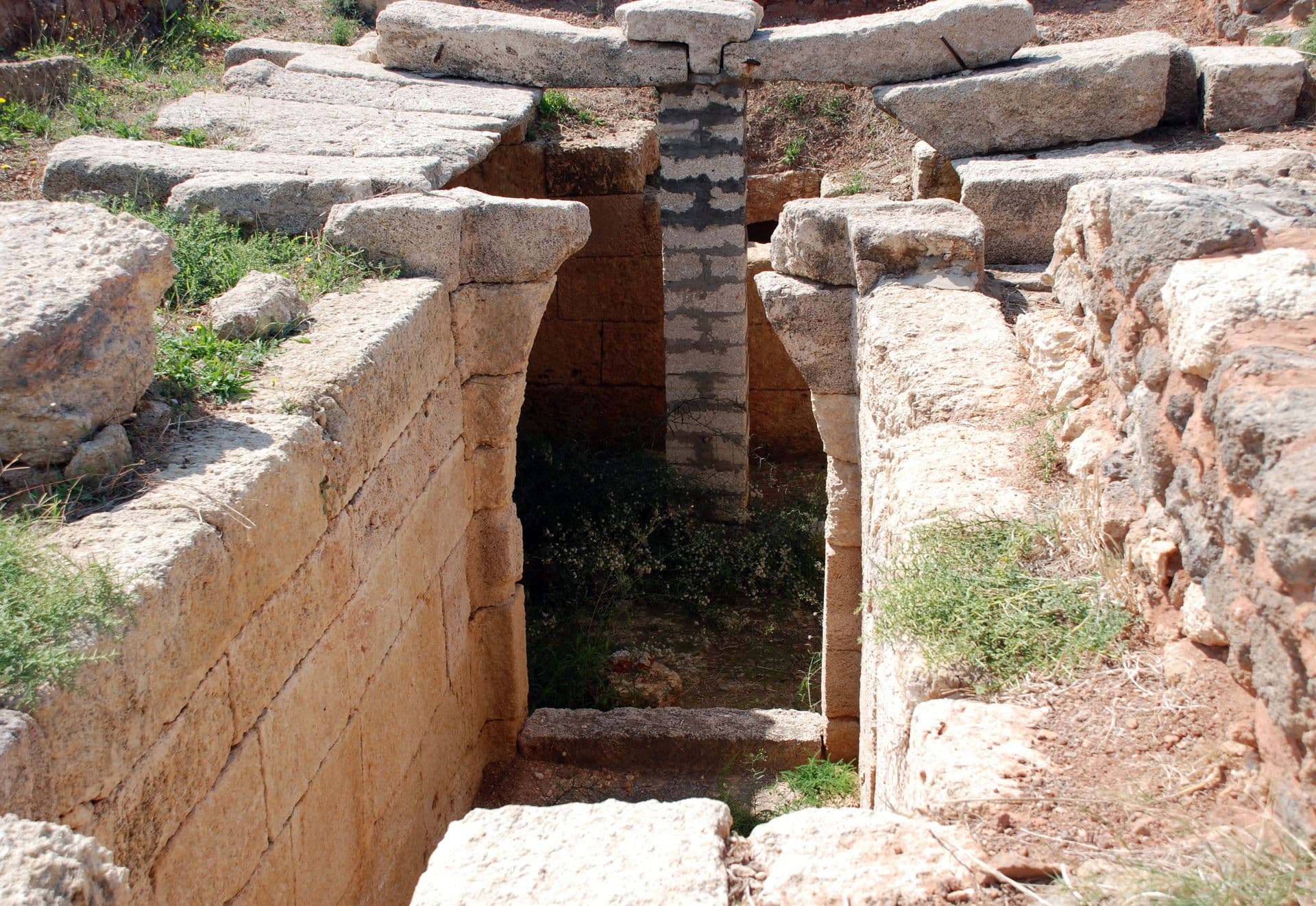
The stone footings of the palaces are exposed: thick wall lines, room divisions, courtyard floors. The best-preserved element is the tomb chamber under the north palace — built of squared blocks, roofed with large slabs and entered down a stair. It is the same type as the palace tombs at Ugarit, but here the top is open, so you can see how it was put together. In the south-east corner there is a much later fortification: a small Seleucid fort, built a thousand years after Ugarit fell.
What not to miss
The cape itself is the document. The best natural harbour on this coast is here, and it went on being used long after the city was gone. Greek sailors called it the White Harbour after its low white cliff, and the name survives in Arabic as Minet el-Beida. Another detail: the Roman emperor Trajan came ashore on this headland to join his army for the Mesopotamian campaigns of 114 to 117.
What remains
The town collapsed around 1192 BC along with Ugarit, but the cape was never abandoned: it was resettled in the Iron Age, in the Hellenistic period and again in early Byzantine times. Today the headland is covered in holiday housing and the excavation sits among it like an island. It is fenced but unguarded; you walk between the footings rather than on them. No excavation is running.
Tips
- Find the tomb chamber under the north palace; it is the most complete structure here
- Do not step on the footings — there is no mortar and the blocks shift
- Pair it with Ugarit on the same day; half an hour apart, two ends of one kingdom
- Ask for "al-mawqi al-athari"; the resort names confuse directions
Transparency
- How this was chosen
- Written by hand; opening hours, entry fee and coordinates are kept as data. A field that is not known for certain is marked as variable rather than guessed.
- Facts checked
- September 2026
- Last updated
- September 15, 2026