Shayzar Castle
On a narrow rock ridge above the Orontes, 28 km north-west of Hama. The castle of Usama ibn Munqidh: its north gate, its rock-cut ditch, the 1157 quake.
- Opening hours
- Daylight hours; confirm with the keeper if there is one
- Entry
- Variable — confirm at the gate
- Duration
- 90 minutes
- Best time
- Morning or late afternoon; there is no shade on the ridge
- Period
- Byzantine foundation — Munqidhite, Zangid, Mamluk
- Address
- Shayzar village, 28 km north-west of Hama
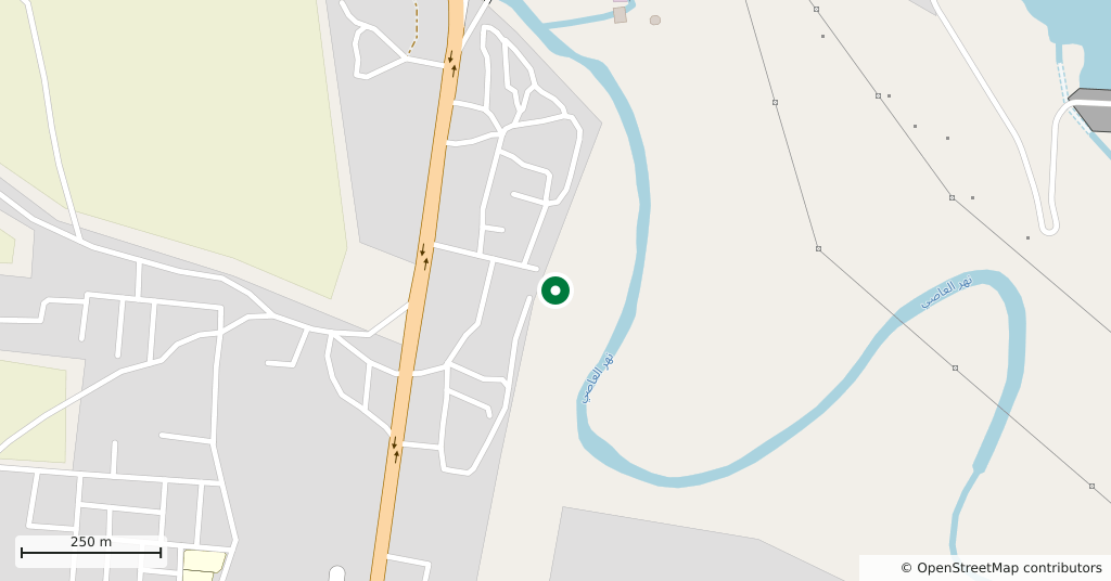
Where the Orontes bends it leaves a long, narrow ridge of rock on the west bank, and the castle covers the whole of it. It runs 450 metres end to end and in most places is not 50 metres across. In the Middle Ages the Banu Munqidh held it, and a childhood spent here produced the Kitab al-Itibar of Usama ibn Munqidh, the most widely read Arabic memoir of the crusading period.
Getting there
In the village of Shayzar, 28 kilometres north-west of Hama, half an hour by car. The way up is at the north end; the road curls under the ridge and comes out in front of the gate.
How long it takes
An hour and a half. The ridge is long and there is one route in and out: through the north gate, along to the south end, and back the same way.
What is there
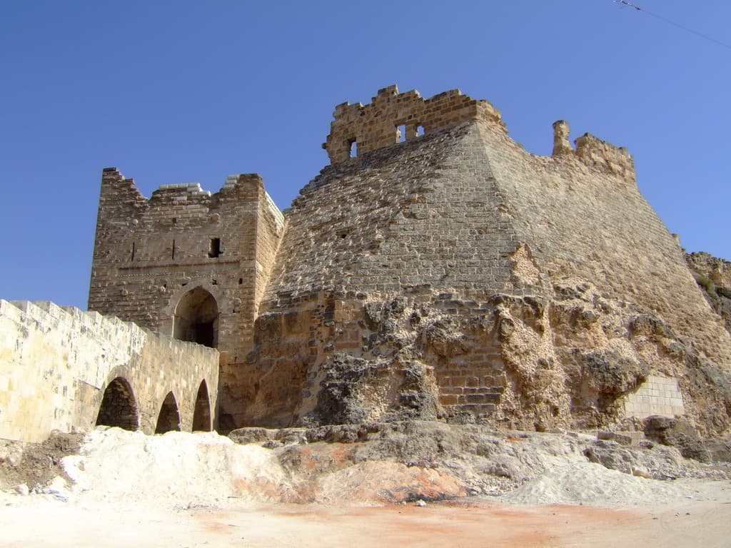
The north gate tower is the soundest thing still standing. A stone stair climbs to it across the ditch cut through the rock, carried on two tiers of arches, and above the doorway runs a long Arabic inscription in which the Mamluk sultan Qalawun is named. The rest of the ridge is largely ruin. The castle collapsed in the earthquake of 1157 while the Munqidh family were gathered inside for a circumcision feast, and almost all of them died; Usama was in Damascus that day. Nur al-Din Zangi rebuilt it, the earthquake of 1170 brought it down again, and Baybars repaired it in 1260. In 1958 it was declared a national monument and the last families living inside were moved out.
What most people miss
Walk to the south end. The tower there is known locally as Urf al-Dik, and only from it can you see in one look how the Orontes wraps the ridge on the east and the north.
Tips
- The ridge is 450 metres long and unshaded; do not pick the middle of the day in summer
- The stone stair to the north gate crosses the ditch on two tiers of arches; look down as you climb
- Find the inscription above the doorway; Qalawun is named in it
- Qalaat al-Madiq and Apamea lie the same way; do not squeeze all three into one day
Transparency
- How this was chosen
- Written by hand; opening hours, entry fee and coordinates are kept as data. A field that is not known for certain is marked as variable rather than guessed.
- Facts checked
- August 2026
- Last updated
- September 15, 2026