Hama to Salamiyah day trip: Riba fortress, Shmemis Castle and the Ismaili town
An 87-kilometre day east of Hama: the dry-stone basalt ring at Riba, Shmemis Castle on its extinct volcano, and Salamiyah, the town the Ismailis rebuilt in 1849.
- Duration
- 8 hours
- Distance
- 86.9 km
- Difficulty
- Moderate
- Best season
- April–May, September–October
- stops
- 3
- City
- Hama
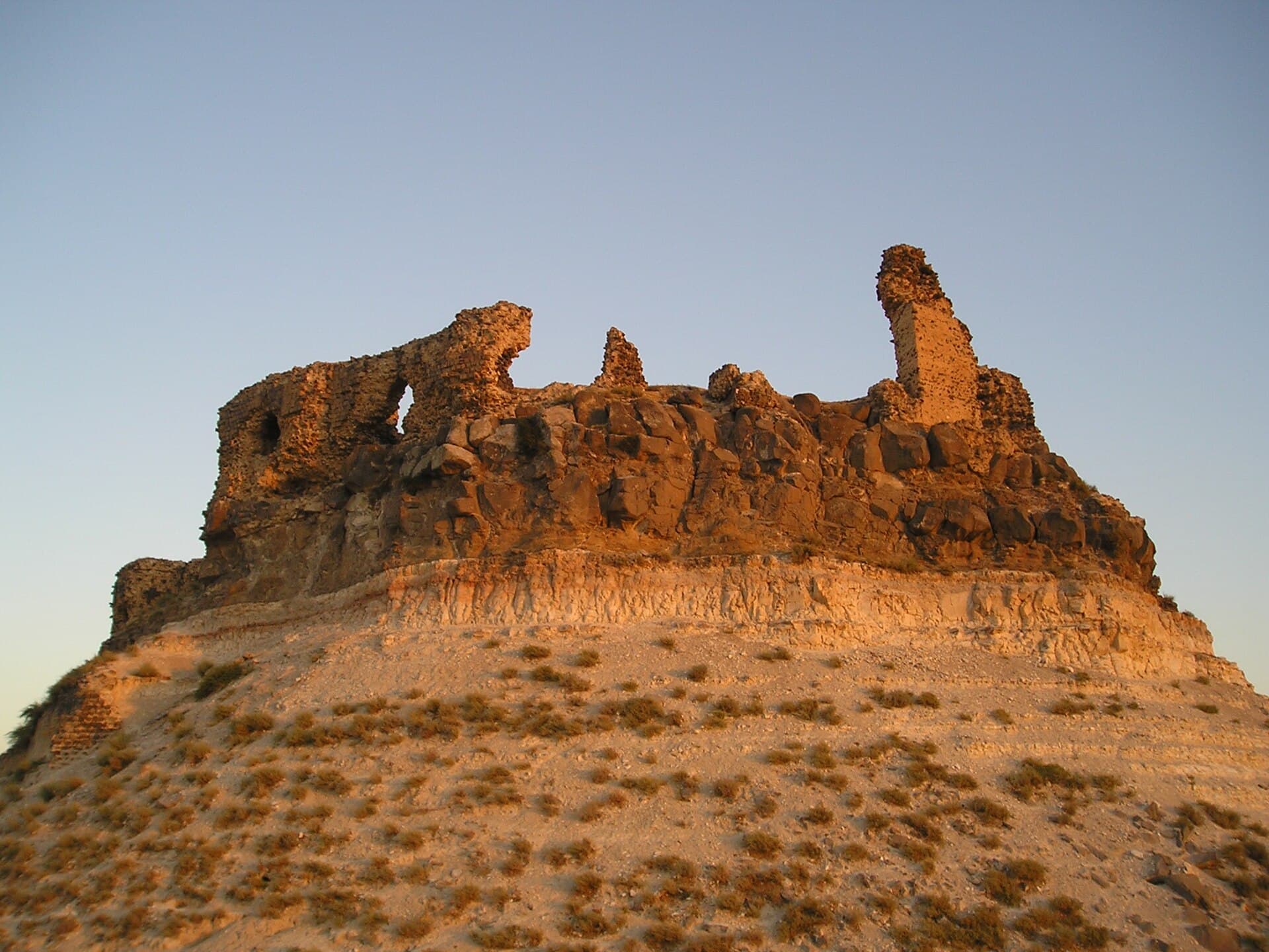
East of Hama, where the steppe begins, two basalt hills and a town fit into one day. In the morning, the mortar-free stone ring at Riba; towards midday, Shmemis Castle on top of an extinct volcanic cone; in the afternoon, Salamiyah, the town the Ismailis rebuilt in 1849. The loop is 87 kilometres, and close to three hours of that is driving. Shmemis and the town are directly linked: the first Ismaili families to reach Salamiyah lived inside the castle walls until the town was built.
The route
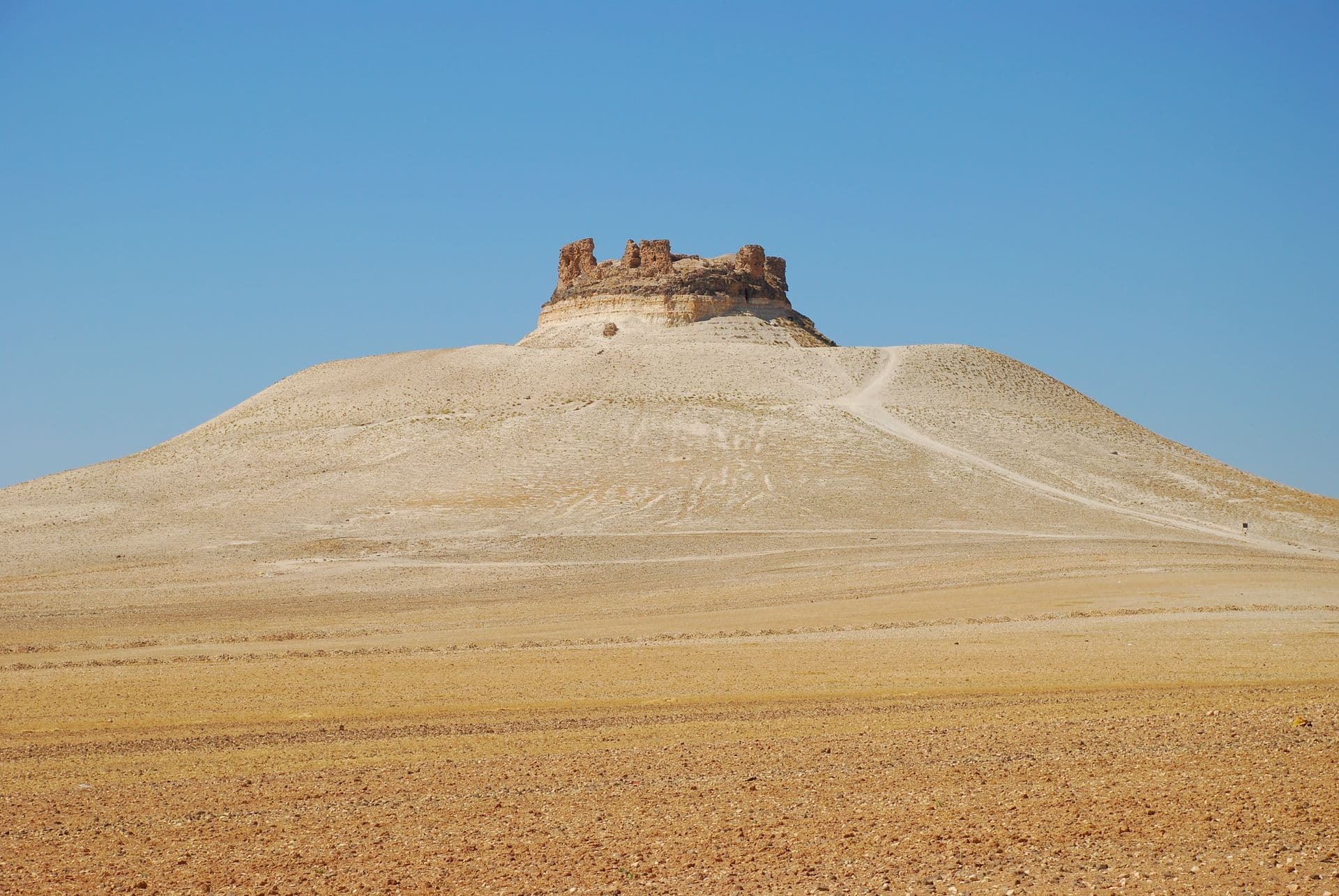
Leave Hama heading east, towards Salamiyah. The first stop is the village of al-Riba, 12 kilometres north of Salamiyah and 34 kilometres from Hama, a drive of a little over an hour. The fortification stands on the hill beside the village and rises about 100 metres above the plain to the west; a car gets you close to the walls. From Riba head south: Shmemis is 15 kilometres on, about forty minutes. The cone stands alone on a flat plain, so on the last stretch you can see it from kilometres away. Leave the car at its foot and walk up the path on the slope. From there Salamiyah is 5 kilometres, a quarter of an hour. The way back is the direct road from Salamiyah to Hama, 33 kilometres and fifty minutes. A shared minibus line runs between Hama and Salamiyah, but the two castles need a car.
Timing
Leave Hama at 08:00 and you reach Riba around 09:05. Give it an hour. Go in through the single entrance on the west side. It is about two metres wide, and the trace of the old road inside leads you to two rises. Look closely at the blocks of the stone-faced slope around the hill: most have edges longer than 70 centimetres, and there is no mortar between them. Then walk round to the east slope, where the quarry that supplied the blocks can still be picked out. Who built the place, and when, is an open question; the site has never been systematically excavated.
Back on the road at 10:05, and at the foot of Shmemis by 10:45. Finish the climb before the midday heat, because there is no shade on top. Up there, walk around the ditch cut into the rock, 15 metres deep, and find the main well in the south-east. The first castle is attributed to Sampsiceramus I. Khosrow II destroyed it in 613, Asad al-Din Shirkuh rebuilt it in 1228 or 1229, and the Mongols brought it down again in 1260.
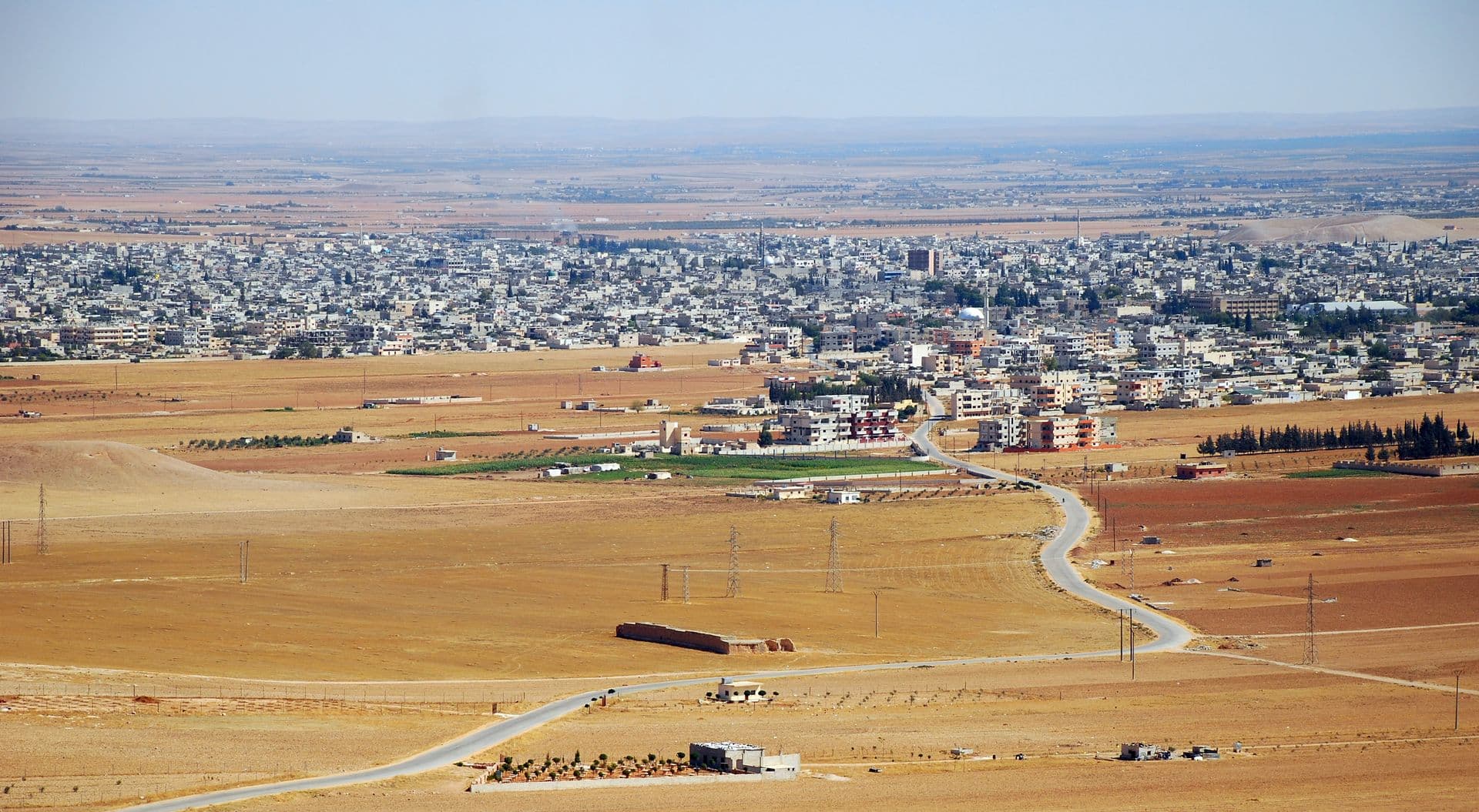
Come down at 11:45 and you are in Salamiyah at 12:00. Give the town three hours. The Imam Ismail Mosque was built in 1991 by the Dawoodi Bohra community; ask at the door about visiting times. The tomb of Prince Aly Khan and the seat of the Ismaili Council for Syria are also in town. Abdullah al-Mahdi, who founded the Fatimid caliphate, was born here in 873 or 874. Start back at 15:00 and you are in Hama around 15:50.
Take care
Current access to Riba could not be verified; ask in Hama or Salamiyah before you set off. Before leaving Hama, also ask about the roads that day. Do not leave the road in this steppe. In April 2026 a landmine explosion in the eastern Hama steppe killed or injured 7 members of one family, and the Hama disaster directorate said there is no safe area in the steppe. This route stays out of that eastern sector, towards Ithriyah and Sheikh Hilal, but still do not step off the asphalt, the village tracks or the clear paths on the hills.
The slope at Shmemis is bare and the ground is loose, so wear shoes with grip, and walk carefully along the edge of the ditch. Neither hill has water or shade; bring water from Hama. Many cases of cutaneous leishmaniasis were reported in rural Hama in the first four months of 2026; if you stay out in the countryside towards evening, clothing that covers your arms helps. Fees and opening times at both castles vary, so check at the entrance. April to May and September to October are the easiest months. In summer the steppe is hot before noon.
The route on a map
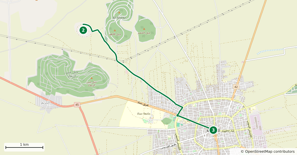
Stops along the route
- 01
- 02
- 03
Transparency
- How this was chosen
- The stops and their order were set by hand. The line on the map is real road geometry, not a straight hop between pins; distance and duration belong to that itinerary.
- Facts checked
- September 2026
- Last updated
- September 15, 2026