Shmemis Castle near Salamiyah
An oval castle on the cone of an extinct volcano just outside Salamiyah, with a 15-metre rock-cut ditch, a deep well, and an Ayyubid rebuilding from 1228.
- Opening hours
- Open site; go up in daylight
- Entry
- Variable — confirm on site
- Duration
- 60 minutes
- Best time
- Spring or autumn mornings; there is no shade at the top
- Period
- Roman-era origins — Ayyubid — Mamluk
- Address
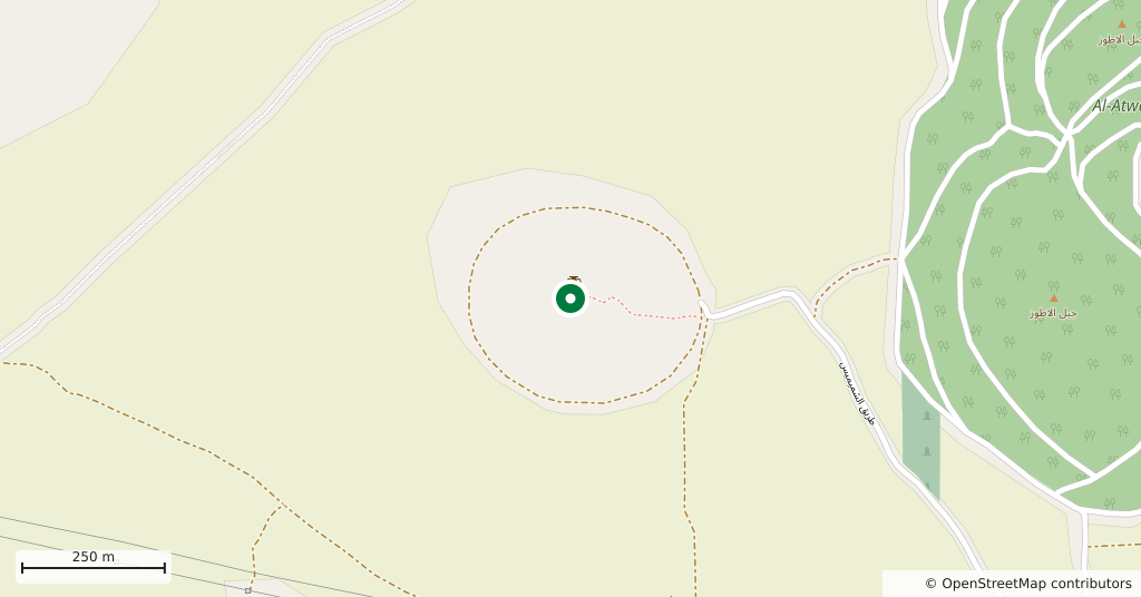
- 3 km northwest of Salamiyah, Hama
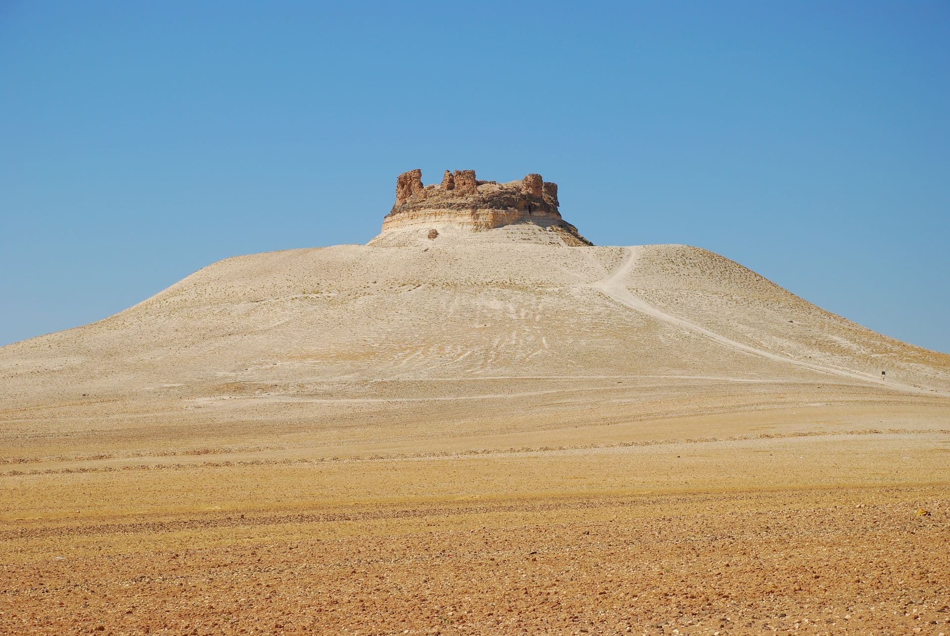
Shmemis Castle sits on the cone of an extinct volcano 3 kilometres northwest of Salamiyah. It rises about 140 metres above the plain and watches over an area of the steppe 50 kilometres across. From outside, the oval castle looks like one enormous round tower; today parts of its walls still stand.
Getting there
About 30 kilometres southeast of Hama, and a short drive from Salamiyah. The cone rises alone from a flat plain, so you see it from far off. The way up is on foot, along the track that climbs the slope.
How long it takes
An hour: the climb, a walk around the walls and the view over the plain from the top.
Who built it
The first castle is attributed to Sampsiceramus I, the first of the priest-kings who ruled Homs (ancient Emesa) in the 1st century BC, and the name is traditionally linked to his family. The castle was damaged by an earthquake and destroyed in 613 by the Sasanian king Khosrow II. Asad al-Din Shirkuh, the Ayyubid emir of Homs, rebuilt it — the Ayyubids being the dynasty founded by Saladin. Abu al-Fida gives the date as 1228, Kurd Ali as 1229. According to Abu al-Fida, al-Muzaffar, the emir of Hama, tried to stop the work because of the hostility between the two cities. The Mongols destroyed the castle in 1260 and the Tatars attacked it in 1401; it was repaired afterwards.
What is there
The castle sits on a hilltop with a basalt crust. A ditch 15 metres deep, cut into the rock, runs around it. The plan is oval and no towers project from the wall; they sit inside it. Within are the remains of four inner towers, an underground water store cut into the rock and, to the southeast, the deep main well, its sides plastered with lime and clay. A second well was used for provisions. The gate is on the northeast side, between two inner towers, and in front of it stands the pier that once carried a wooden bridge.
What most people miss
The main well in the southeast. During a siege, it is said, the ditch was filled with water from this well. It is also where the link with Salamiyah begins: the first Ismaili settlers who arrived in 1849 lived inside this castle until the modern town was built.
Tips
- The slope is bare, loose earth; shoes with grip help
- There is no shade or water at the top; bring both
- The ditch is 15 metres deep; walk carefully along the edge
- It fits into the same half day as Salamiyah
Transparency
- How this was chosen
- Written by hand; opening hours, entry fee and coordinates are kept as data. A field that is not known for certain is marked as variable rather than guessed.
- Facts checked
- September 2026
- Last updated
- September 15, 2026