Qatna and Kadesh: a second day out of Homs
Two Bronze Age capitals in one day: Qatna to the north-east of Homs, Kadesh to the south-west, then the museum that holds both. 127 kilometres, hour by hour.
- Duration
- 9 hours
- Distance
- 127 km
- Difficulty
- Moderate
- Best season
- March–May, October–November
- stops
- 3
- City
- Homs
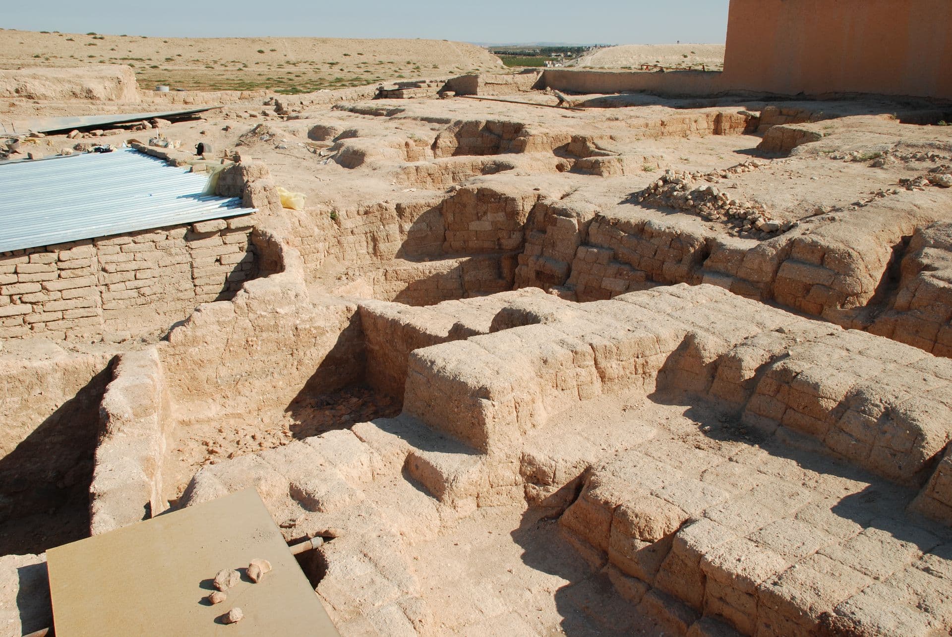
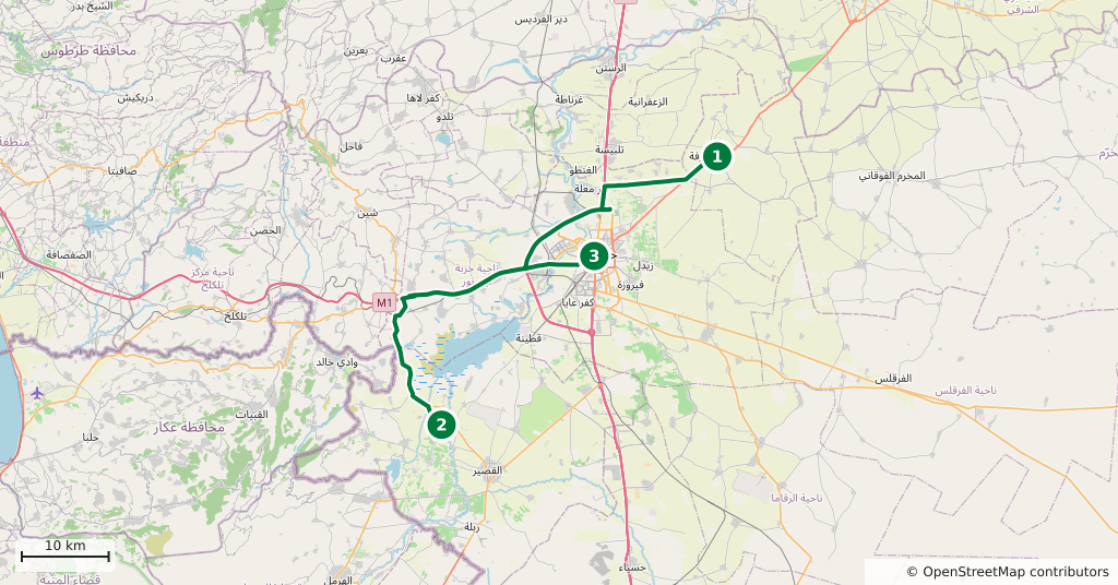
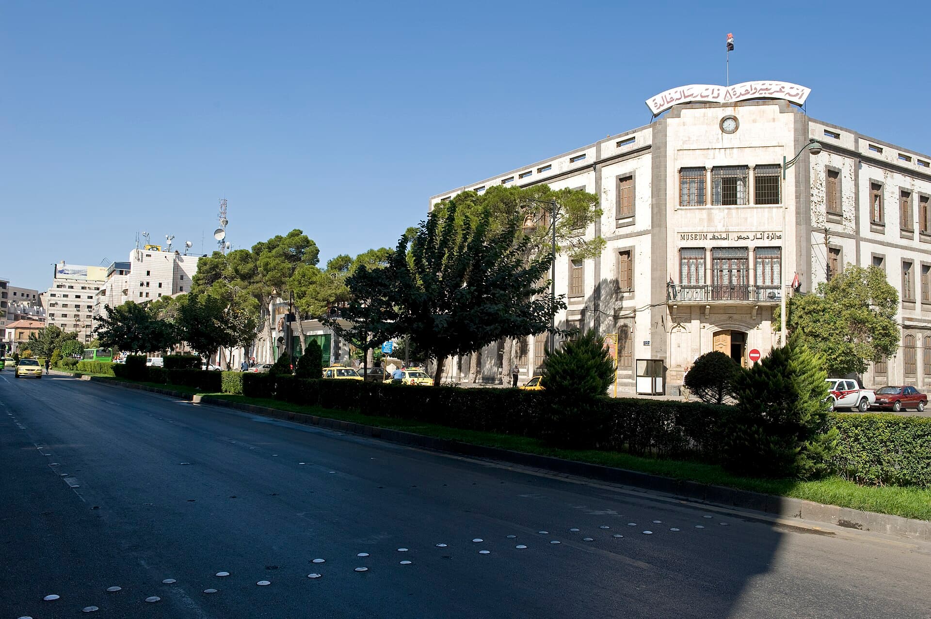
The two great Bronze Age cities of Homs sit on opposite sides of the town: Qatna 18 kilometres to the north-east, Kadesh 24 kilometres to the south-west. There is no direct road between them, so the day is built as a loop back through Homs and comes to 127 kilometres. It also ends in the right place: most of what came out of both sites is in the Homs Museum.
The route
Leave the city to the north-east, turn off the Salamiyah road and enter Mishrifeh; the square rampart of Qatna is visible on the plain from the road. Come back the same way into Homs, then take the south-west road along the Orontes towards Kadesh. The mound of Tell Nebi Mend stands on the river bank just above the village. On the way back, drive into town and make the museum your last stop; it is on Shukri al-Quwatli Street, in the centre.
Timing
Leave at eight. Be at Qatna by nine; walk the top of the rampart first, then the palace area and the mouth of the royal tomb. An hour and a half is enough. Be back in Homs around midday and eat there. Be at Kadesh by two, climb to the top of the mound, and read the plain of the battle together with the bend of the river; an hour. Return to town at four and get into the museum before it closes.
Watch out
Neither mound has shade or signage; water and a hat are your own problem. At Qatna keep away from the edges of the trenches and do not step on the mud-brick walls. The foot of the Kadesh mound is under crops, so do not cut across the fields. Museum hours vary, so confirm them at the door. Ask in Homs about the state of the countryside before you set out, and do not drive at night.
The route on a map
Stops along the route
- 01
- 02
- 03
Transparency
- How this was chosen
- The stops and their order were set by hand. The line on the map is real road geometry, not a straight hop between pins; distance and duration belong to that itinerary.
- Facts checked
- September 2026
- Last updated
- September 15, 2026