Jisr al-Shughur, the Bridge Town on the Orontes
A town on the Orontes and the Aleppo–Latakia road, with a Roman bridge rebuilt by the Mamluks in the 15th century, a caravanserai of 1660-1675 and old stone houses.
- Opening hours
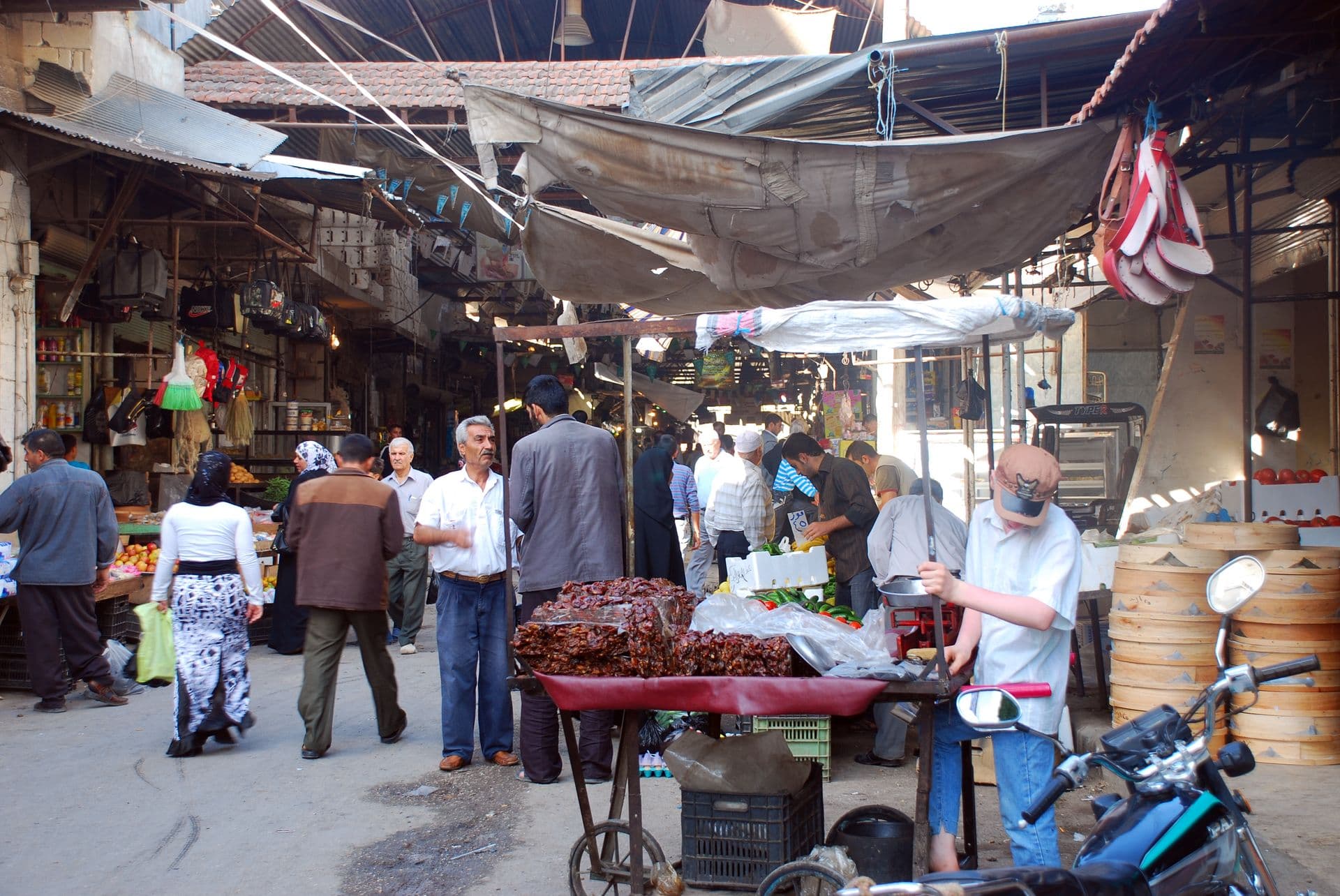
- The town at any hour; the market during the day
- Entry
- Free; there is no ticketed site
- Duration
- 90 minutes
- Best time
- Spring, when the Orontes runs full and the Ghab is green
- Period
- Roman — Mamluk — Ottoman
- Address
- On the Orontes, Aleppo–Latakia road, Idlib
A town on the Orontes, on the eastern edge of the Ghab plain, 170 metres above sea level. Latakia is 75 kilometres away and Aleppo 104, and the road between them runs through the middle of town. The first half of the name, jisr, means bridge. The stone bridge the Romans built over the Orontes was taken into a Mamluk structure in the 15th century, and it is still one of the town’s two bridges over the river.
What to look for on the bridge
The bridge has been repaired many times, with Mamluk masonry laid over Roman stone. The piers are V-shaped, to split the current. In a 1714 engraving by the Dutch traveller Cornelis de Bruyn, the bridge is drawn with its arches and the town behind it.
How the town began
In antiquity it was Seleucobelus, or Seleucia ad Belum; the Romans called it Niaccuba. The present town, though, was founded early in the 17th century on the caravan road between Aleppo and the coast, around a khan — a merchants’ inn built around a courtyard — a mosque and a bath house. Travellers of the time describe it as a new place. The caravanserai in the old centre was built in 1660-1675 and repaired in 1826-1827.
For most of the 18th century the town was run by the Kurdish agha Muhammad ibn Rustum and his sons, first as kaymakam, or deputy governor, and later as managers of the religious endowment of Köprülü Mehmed Pasha. European sources of the same century spell the name Choug, Shogle or Shoggle. In December 1920 Ibrahim Hananu took the town from the French.
What to see in the old quarter
The oldest quarter is Hayy al-Qalaa. Its large courtyard houses date from the second half of the 19th century, and the quarter is a protected area where demolition and alteration are banned. Heading north on the road to Hammam al-Sheikh Issa, you reach a charitable drinking fountain from the early 20th century. Its inscription is a Quranic verse: “And their Lord gave them a pure drink.”
Getting there
The Aleppo–Latakia road runs through the town, so it is reached directly from either direction. Roads and checkpoints change; check the current situation before you set out.
How long it takes
An hour and a half for the bridge, the old centre and Hayy al-Qalaa.
What is nearby
Ancient Qarqur is 7 kilometres south. The castles of Shughr and Bakas stand on the Orontes to the north-west, and Bourzey Castle is 25 kilometres south.
Don’t miss
The piers, seen from the riverbank. Crossing the bridge, it looks like an ordinary road bridge; the V-shaped piers only show from below.
Tips
- The V-shaped piers of the bridge show best from the bank
- The houses of Hayy al-Qalaa are private; do not walk into a courtyard uninvited
- Bourzey Castle is 25 kilometres south and fits into the same day
- Roads and checkpoints change; ask before you set out
Transparency
- How this was chosen
- Written by hand; opening hours, entry fee and coordinates are kept as data. A field that is not known for certain is marked as variable rather than guessed.
- Facts checked
- September 2026
- Last updated
- September 15, 2026