Qara
A Qalamoun town at 1200 metres, halfway along the Damascus to Homs road: a caravan halt, a mosque that began as a temple, and 13th-century wall paintings.
- Opening hours
- The town is open; the mosque outside prayer times, the churches by asking
- Entry
- Free
- Duration
- 120 minutes
- Best time
- April to June and September to October; there is snow and ice in winter
- Period
- Roman — Byzantine — Mamluk
- Address
- Qara, An-Nabk district, on the Damascus to Homs road
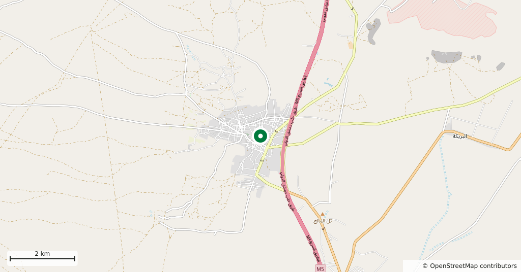
Between the Qalamoun mountains and the Eastern Lebanon range, 95 kilometres north of Damascus and 70 kilometres south of Homs, sits a town at 1200 metres. The position explains its whole history: standing halfway along the road between Damascus and Homs, this is where the caravans stopped for centuries.
Getting there
The Damascus to Homs highway runs past the edge of the town; you leave the main road and drop down into the centre. An-Nabk is 15 kilometres south, with Deir Atiyah in between.
How long it takes
Two hours for the Great Mosque, the old churches in the centre and the market. Allow half a day if you are also going to the monastery of Mar Yakub.
Three explanations of the name
In Arabic qara means a small hill, and the town sits on one. A second explanation ties it to the Greek word kora, healing, because the air here was held to be clean. A third is Syriac, for sharp cold. All three are things the town says about itself, and none is settled.
What to see
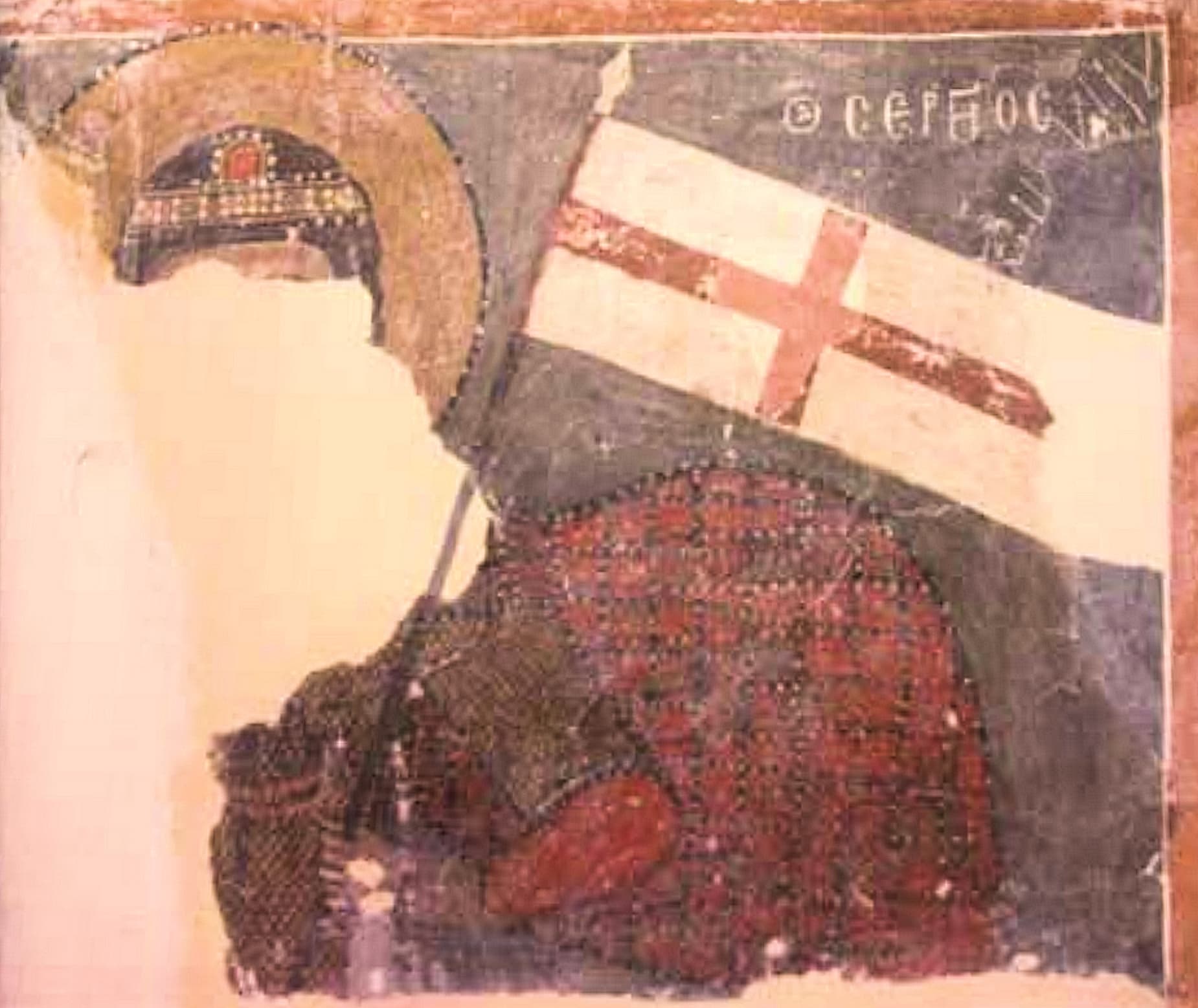
The original building of the Great Mosque is thought to have been a temple of the Roman period. It was converted into a church in the Byzantine era, in the year 325, under the name of Saint Nicholas. Baybars then turned it into a mosque, in 664 of the Islamic calendar, that is 1266. It is still in use. A long inscription over the main door records the change. The town also has an old church of Saints Sergius and Bacchus, and among its wall paintings a figure of Saint Sergius holding a banner, white with a red cross, is dated to the thirteenth century.
What not to miss
How the religious map of the town shifted. Christian Qara goes back to the fifth century; by the eleventh it counted as a centre of Melkite Christianity, and in 1184 both Ibn Jubayr and Yaqut wrote that the town was entirely Christian. During his campaigns against the Crusaders and the Mongols, Baybars expelled or killed the Christian population. Abu’l-Fida in 1321 describes it as a large village halfway between Damascus and Homs, a halt for the caravans, most of its people Christian. By the seventeenth century it was a mixed town, and today Sunni Muslims live alongside Greek Orthodox and Catholic Christians.
Around the town
West of the town rises Jabal Qara, its highest point, Halimat Qara, at 2464 metres. Wild juniper grows on the slopes along with wide cherry orchards, and small springs called wushul break out between them. Ruined villages lie scattered across the lower eastern slopes, and shepherds use them as folds. The monastery of Mar Yakub is just outside the town.
Tips
- Read the inscription over the main door of the Great Mosque; the date of the change is written there
- The churches are not always open — ask in the centre and someone can bring the key
- The monastery of Mar Yakub is just outside town, so the two make one outing
- At 1200 metres the evenings are cool even in summer; take a light layer
Transparency
- How this was chosen
- Written by hand; opening hours, entry fee and coordinates are kept as data. A field that is not known for certain is marked as variable rather than guessed.
- Facts checked
- September 2026
- Last updated
- September 15, 2026