Tell Hammam et-Turkman
A 45-metre mound in the Balikh valley: ten layers from the Ubaid to the Romans, an 8-metre-wide Early Bronze Age wall and a town whose name is still unknown.
- Opening hours
- Open site; whether it is open to visitors could not be confirmed
- Entry
- Variable — confirm on site
- Duration
- 40 minutes
- Best time
- Early morning; the 45-metre slope is hard going in the midday heat
- Period
- Ubaid, Early and Middle Bronze Age; Roman-Parthian
- Address
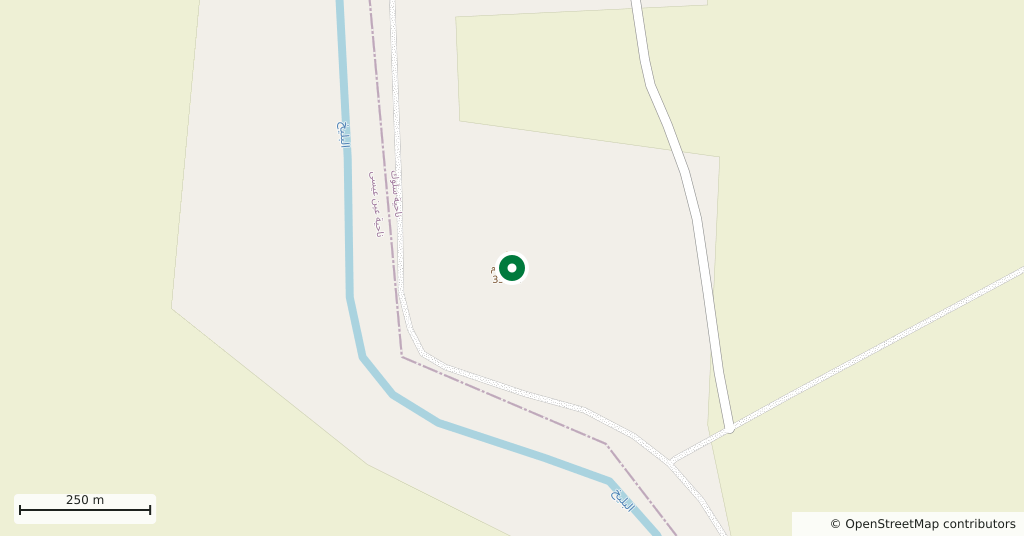
- Left bank of the Balikh, about 80 km north of Raqqa; 2 km south-west of Tell Sabi Abyad
Tell Hammam et-Turkman is a large mound on the left bank of the Balikh river, about 80 kilometres north of Raqqa. It is 500 metres across and 45 metres high, the hill you pick out from far off in the valley. Inside are ten layers of settlement, from the 5th millennium BC to the Roman and Parthian periods. Nothing stands above ground. The reason to come is the hill itself and the valley seen from its top.
Where it is and getting there
Tell Sabi Abyad lies 2 kilometres to the north-east, so both mounds can be seen on one outing. The site is in Tell Abyad district, on a line that saw an ISIS raid in 2016 and an offensive by Turkey and the Syrian National Army in 2019. Access today could not be confirmed. Ask in Raqqa about the road and the site before setting out.
What the layers tell
The earliest settlement belongs to the northern Ubaid culture — the village culture that came before the first Mesopotamian cities — and radiocarbon dates it to 4400-3600 BC. A phase of heavy building followed, including a monumental building from the time of the Uruk period. That phase ended in a great fire dated to around 3400-3200 BC. One detail stands out: the phase is contemporary with Uruk, yet no Uruk pottery was found here.
The hill stood empty for a time, was settled again and suffered violent destruction at the end of the 3rd millennium. A carefully built Middle Bronze II building, dated to 1750-1550 BC, shows why most of the research went into the Middle Bronze layers. After 1200 BC comes a gap of close to a thousand years; then the hill served as a garrison post.
Do not miss: the Early Bronze Age wall
The 1986 excavations uncovered a wall around the Early Bronze III-IV town: 8 metres wide, with rooms on its upper level. Samples from those rooms date the wall to around 2400 BC. Whether the wall can be seen today could not be confirmed; ask on site where the trenches were.
What was the town called?
Nobody knows. In 1990 J. M. Córdoba matched the mound with Zalpa, a town known from cuneiform tablets. Ziegler and Langlois in 2016, and von Dassow in 2022, found the match possible. It has not been settled.
Excavation and the site today
The universities of Amsterdam and Leiden excavated the mound, and the results appeared in 1988 in Istanbul as Hammam et-Turkman I. In 1992 two plant finds from the 3rd millennium were published separately. Satellite images show the site has been looted systematically, with hand tools and heavy machinery.
Tips
- Plan it together with Tell Sabi Abyad; the two mounds are 2 km apart
- Climb to the top: the Balikh valley reads most clearly from here, north to south
- Keep away from looters' pits and machine cuts; their edges are undercut
- Ask in Raqqa about the site and the road before setting out
Transparency
- How this was chosen
- Written by hand; opening hours, entry fee and coordinates are kept as data. A field that is not known for certain is marked as variable rather than guessed.
- Facts checked
- September 2026
- Last updated
- September 15, 2026