Tell Shihan: The Extinct Volcano Above Shahba
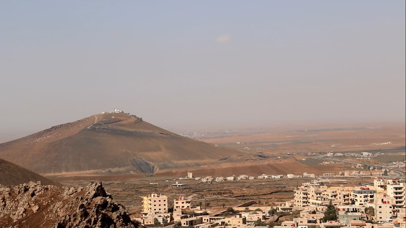
An extinct volcano just north-west of Shahba: a paved road climbs to the 1140-metre summit and the Nabi Shihan shrine, with a 300-metre crater on the west face.
- Opening hours
- Open hill; no posted visiting hours
- Entry
- Variable — confirm at the entrance
- Duration
- 60 minutes
- Best time
- Early morning or close to sunset; there is no shade on the hill
- Period
- Volcanic cone; modern shrine on the summit
- Address
- North-west edge of Shahba, As-Suwayda
Tell Shihan is an extinct volcano just north-west of Shahba, at the eastern tip of the al-Lajat basalt plateau. It is thought to be the source of the lava flows that built al-Lajat. The summit stands at about 1140 metres, some 120 metres above the surrounding plain. On top is the shrine of Nabi Shihan, paid for by local donations, and a paved road runs up to it.
Getting there
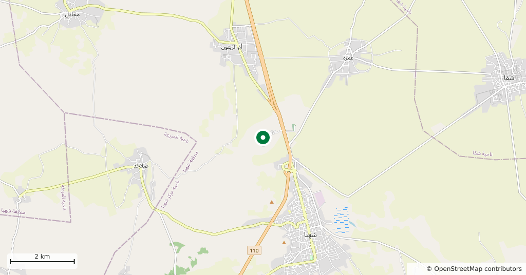
From Shahba. A paved road built by Shahba municipality climbs all the way to the summit, and the map pin marks the shrine at the top. The hill is one of four volcanic hills around Shahba and rises behind the houses of the town.
What the hill is like
It is elliptical in plan. A crater about 300 metres across opens on the west face, and there is a large cave at the summit. The surface is black volcanic sand and pure tuff, material that has been used for roads and building in the area. The summit is a viewpoint, with the basalt of al-Lajat stretching away to the west.
The shrine and the name
The Nabi Shihan shrine on the summit is a modern building, raised with one million Syrian pounds given by local people. Villagers from around the area climb up to make vows and ask for blessing. Two local stories explain the name. One tells of a holy man called Shihan who lived on the hill. The other tells of two sheikhs who prayed here: ‘shaykhan’, the Arabic for a pair of sheikhs, wore down over time into ‘Shihan’.
How long it takes
About an hour to drive up and see the shrine and the crater.
What not to miss
The crater on the west face. From below, the shrine is what catches the eye, but the 300-metre hollow is what tells you this was a volcano.
Where it stands now
The fighting of July 2025 reached Shahba too. The current state of the road and the shrine cannot be confirmed, and access to the area is not regular. Check the situation locally before going.
Tips
- The black volcanic sand is slippery; if you leave the road for the slope, wear soles that grip
- The shrine is a place of pilgrimage; go with shoulders and knees covered
- The crater is on the west face; at the top, walk over to the western side
- It fits into the same day as the Roman remains in Shahba
Transparency
- How this was chosen
- Written by hand; opening hours, entry fee and coordinates are kept as data. A field that is not known for certain is marked as variable rather than guessed.
- Facts checked
- September 2026
- Last updated
- September 15, 2026