Half a day around Shahba: Tell Shihan, the mosaic museum and the Nimreh bridge
Shahba read from the edge of the Lajat: the extinct volcano of Tell Shihan, the Roman town and its mosaics, and the single-arch Nimreh bridge. 24 km; closed today.
- Duration
- 6 hours
- Distance
- 24.3 km
- Difficulty
- Easy
- Best season
- April–June, September–October
- stops
- 4
- City
- As-Suwayda
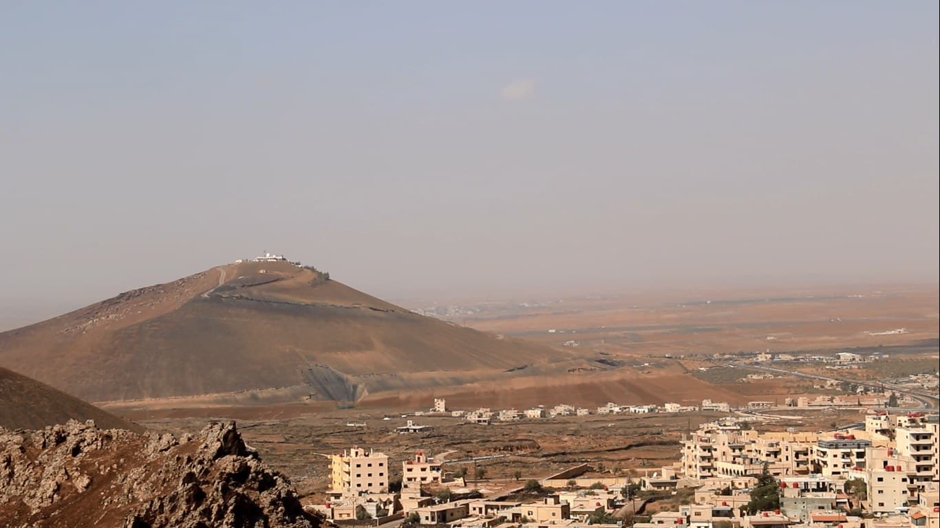
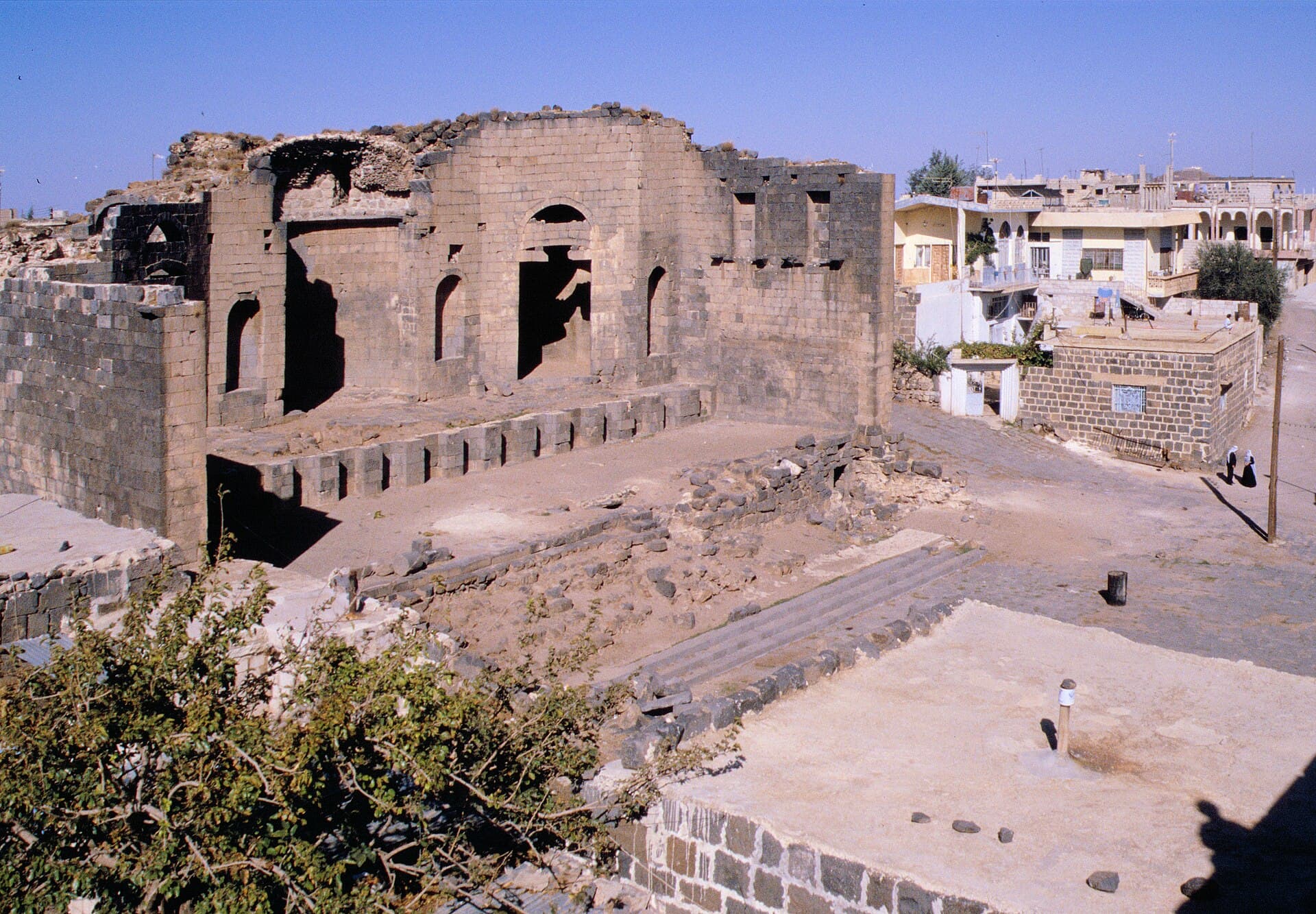
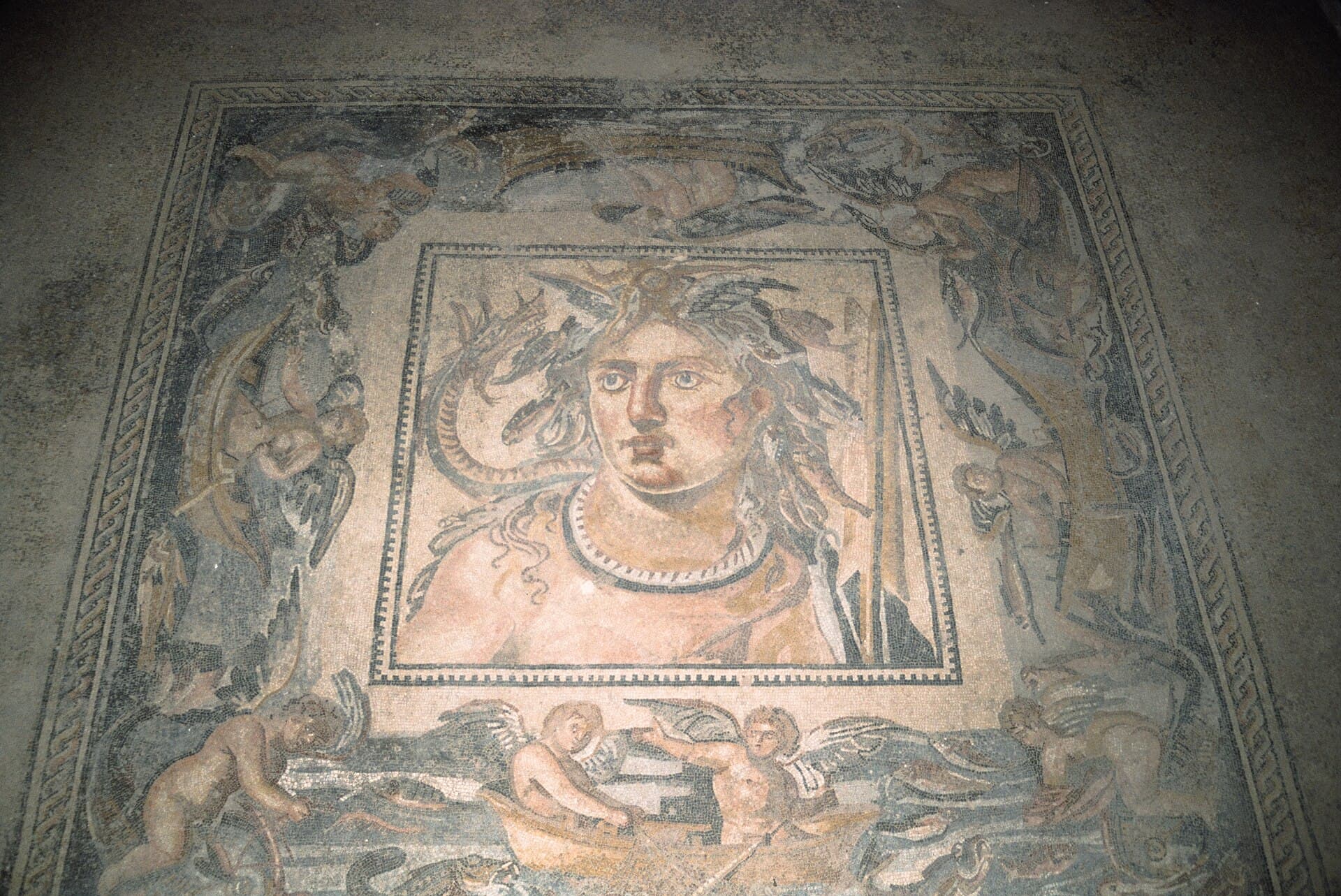
A half day that reads Shahba together with its place on the edge of the Lajat. First comes Tell Shihan, the extinct volcano north-west of town: the summit is at about 1140 metres, with a crater 300 metres across on its west face. Below it lies Philippopolis, the town Philip the Arab rebuilt between 244 and 249, and the mosaic museum set inside its ruins. The last stop is 9 kilometres south-east: the Nimreh bridge, whose vault is built from three parallel transverse arches. The driving adds up to 24 kilometres, and Shahba itself is covered on foot. As-Suwayda province has been in armed conflict since July 2025, and this route cannot be done today; the plan applies once the area reopens.
The route
From Shahba, take the asphalt road the municipality built up to the summit of Tell Shihan. The shrine is at the top and the crater on the west face. On the way down, town is 6 kilometres away. In Shahba, leave the car on the main square and walk: the kalybe and the Philippeion stand by the square, the theatre is a few streets away, and the museum lies south of the imperial baths. Then return to the car and drive south-east to the village of Nimreh, 9 kilometres. The bridge is not marked on maps. It stands below the village, where it crosses the valley at a right angle; ask the way in the village. Return to Shahba by the same road.
Timing
Be on the summit at 08:00. There is no shade on the hill, and the plain is clearer in the morning. An hour is enough for the crater and the shrine. Be in Shahba at 09:30 and give the ruins an hour. Once the sun is high, around 11:00, go into the museum: the hottest part of the day is spent indoors, and the four large panels need an hour. Set off for Nimreh at 12:30 and spend 40 minutes at the bridge; step under the arch and count the transverse ribs. Be back in Shahba by about 14:00.
Take care
As-Suwayda province is not under effective central government control. The roads from Damascus cross the front line, and Shahba’s name appeared in conflict reports throughout 2026. The present state of the Tell Shihan road, the museum and the bridge is not confirmed, and it is not known whether the museum is open. Some things hold even after the area reopens. On Tell Shihan the black volcanic sand is slippery, so wear shoes that grip if you leave the road for the slope. The shrine is a place of pilgrimage; cover shoulders and knees. In Shahba the ruins stand among houses, so ask before entering courtyards. Do not confuse the Nimreh bridge with the similarly named Roman fort at Nemara, which lies 55 kilometres to the east.
The route on a map
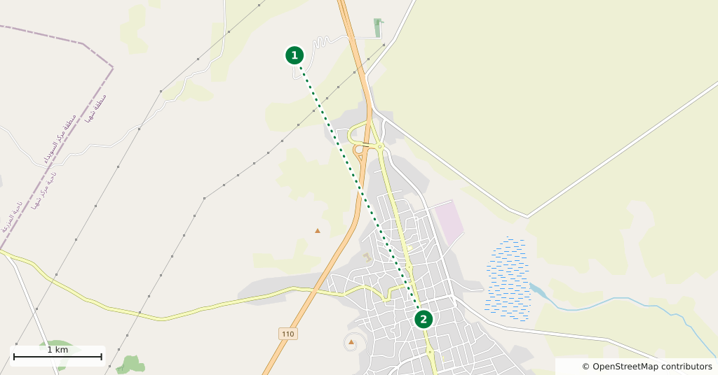
Stops along the route
- 01
- 02
- 03
- 04
Transparency
- How this was chosen
- The stops and their order were set by hand. The line on the map is real road geometry, not a straight hop between pins; distance and duration belong to that itinerary.
- Facts checked
- September 2026
- Last updated
- September 15, 2026