Jableh to Baniyas: a day of coastal tells, the old harbour and Margat Castle
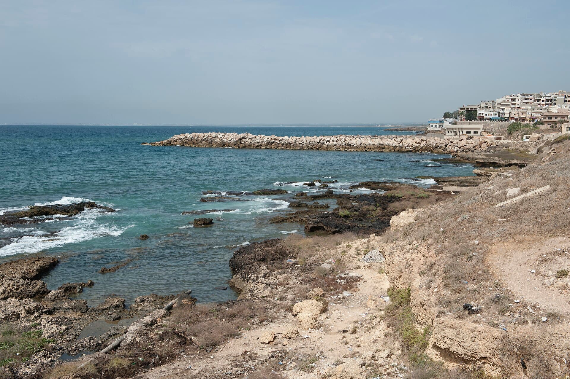
A coastal day from Jableh to Baniyas: Tell Tweini, a fishing harbour on ancient stone, the headland of Tell Sukas, the Baniyas seafront and black Margat Castle.
- Duration
- 7 hours
- Distance
- 36.3 km
- Difficulty
- Easy
- Best season
- March–May, October–November
- stops
- 5
- City
- Latakia
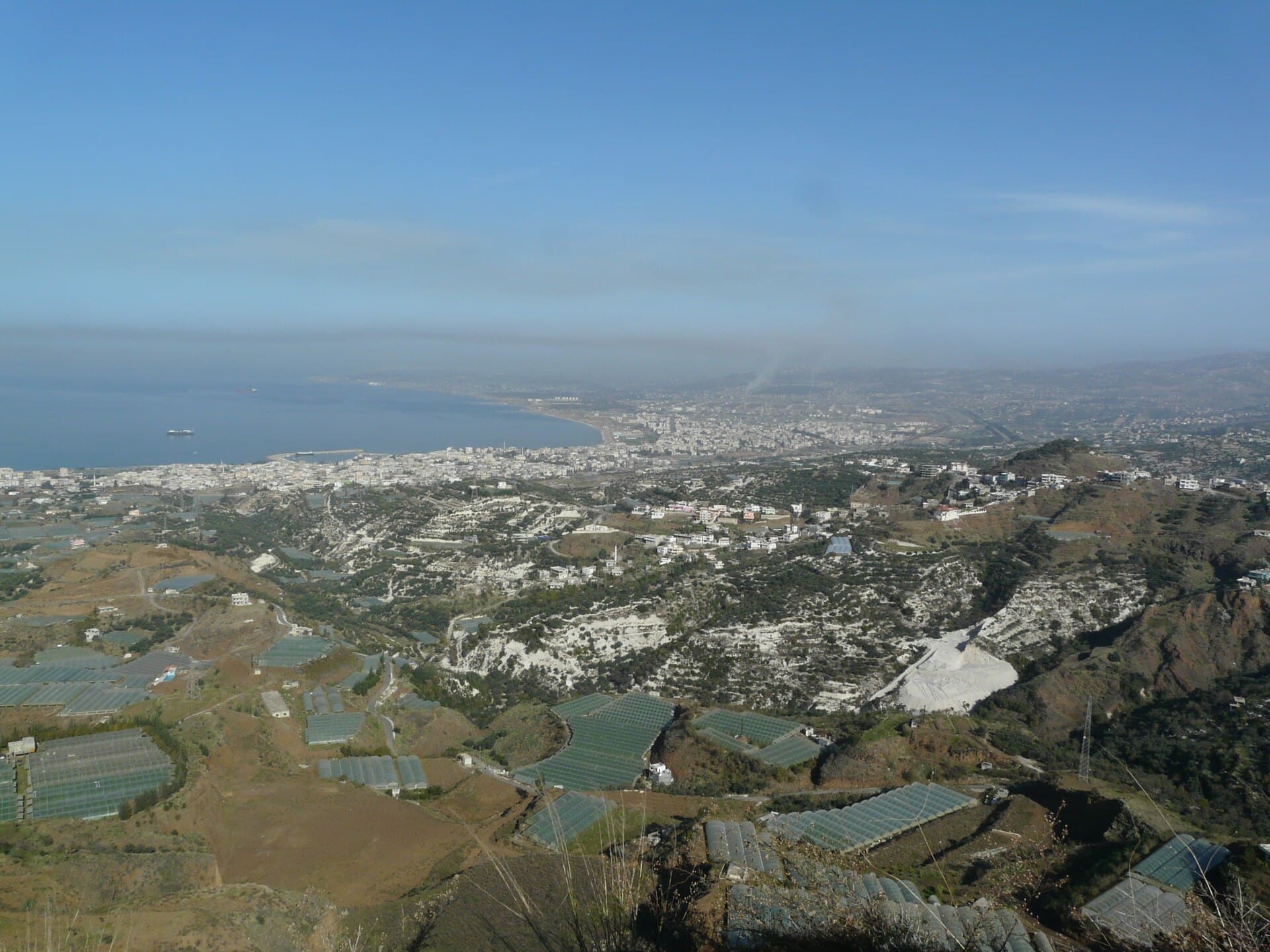
Between Jableh and Baniyas the coast was settled on the same logic from the Bronze Age to the Crusades: a good bay, a fertile plain behind it and a lookout above. This route follows that coast from north to south in five stops. It starts at Tell Tweini, east of Jableh, and drops to Jableh harbour, where the quay still rests on ancient courses of stone. Next comes Tell Sukas, on a headland between two natural bays, where Phoenicians and Greeks once lived side by side. The route runs along the Baniyas seafront and ends at the Crusader castle of Margat. Five stops, 36 kilometres, one day by car.
The route
Start the morning at Tell Tweini. The mound lies 1 kilometre east of Jableh among orange and olive groves; ask in town for the farm track. From the mound return to the town centre; the harbour is to the west. Leave the car in the centre and walk: the lanes that run down to the sea from the Roman theatre and the Ibrahim ibn Adham Mosque reach the quay in a few minutes. From the harbour take the coast road south. Tell Sukas is 6 kilometres south, on a headland reaching into the sea. It is not marked on maps, so ask for the headland before you leave Jableh. From Sukas to Baniyas is 20 kilometres on the coast road, under half an hour. The Baniyas River runs through the town. The road to Margat leaves from the south of town; the castle is 6 kilometres on, a short climb from the coast road.
Timing
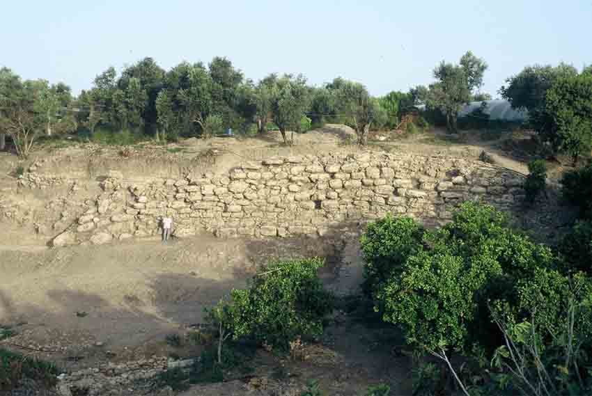
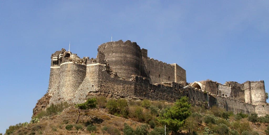
Be at Tell Tweini at 09:00 and allow an hour. The mound measures 350 metres by 290, and the clearest structure is the city wall on its south edge. The town burned around 1200 BC. Excavation began in 1999 and stopped in 2010. At 10:30 you are at Jableh harbour, a half-moon bay facing west. The north quay is 40 metres long, and four courses of ancient stone are still in place. Look for the three-step stair in the southeast corner, where the stones carry traces of Crusader repairs. Forty minutes is enough. Have lunch in Jableh. At 12:30 you reach Tell Sukas; allow forty-five minutes. The first settlement here dates to between 6550 and 4800 BC. Look from the mound over the south bay: the Mina Sukas sanctuary was excavated on the far shore, so harbour and sanctuary face each other across the water. At 13:45 you are in Baniyas. The town is context rather than a sight; walk the seafront for half an hour and look up at the black basalt of Margat from below. At 14:45 you reach Margat, and the castle wants an hour and a half. Sultan Qalawun took this Hospitaller castle in 1285 after a long siege. The chapel and the great tower still stand; climb the west walls and the Mediterranean horizon is straight ahead. The castle looks its best in the afternoon, as the light over the sea turns west.
Take care
Published sources do not say how Tell Sukas is open to visitors or whether it is fenced; check fees and access locally. Tell Tweini has no guard or signs, and the groves around it are private. At both mounds, stay out of the trenches and do not pick up anything from the surface. Jableh harbour is a working fishing port: do not walk between nets and boats without asking. In Baniyas, do not take photos around the refinery, the power station or the port; these are not permitted areas. The fee at Margat varies, so check at the entrance; the black basalt heats up in the midday sun. Civilians were killed in Baniyas in 2013 and again in March 2025, and the countryside around Jableh and Baniyas was among the areas hit by the March 2025 events on the coast. Confirm the current situation with local sources before setting out.
The route on a map
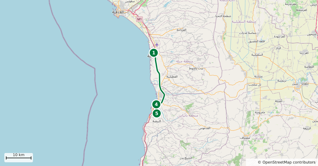
Stops along the route
- 01
- 02
- 03
- 04
- 05
Transparency
- How this was chosen
- The stops and their order were set by hand. The line on the map is real road geometry, not a straight hop between pins; distance and duration belong to that itinerary.
- Facts checked
- September 2026
- Last updated
- September 15, 2026