Mountains to the sea: Slunfeh, Mahalibeh and the harbour of Ugarit
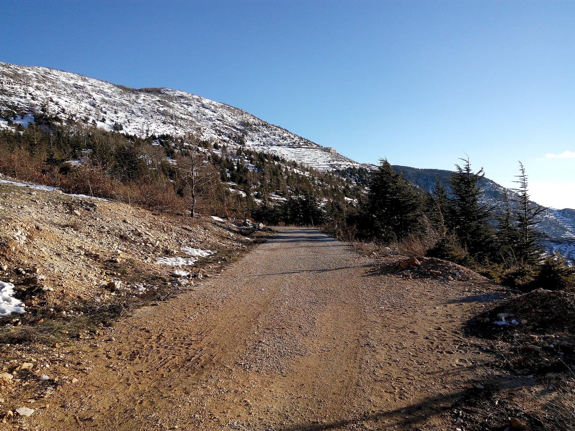
From 1130 metres down to sea level in one day: cedar forest in the morning, a hill castle after noon, the harbour of Ugarit at dusk. 146 kilometres, hour by hour.
- Duration
- 10 hours
- Distance
- 146 km
- Difficulty
- Moderate
- Best season
- May–October
- stops
- 3
- City
- Latakia
This day is a descent. Oak and cedar forest at 1130 metres in the morning, a ruined hill castle at 750 metres after noon, the harbour of Ugarit at sea level towards evening. The route leaves Latakia and returns to Latakia, 146 kilometres in all. The distance looks short, but most of it is winding mountain road and that is where the hours go.
The route
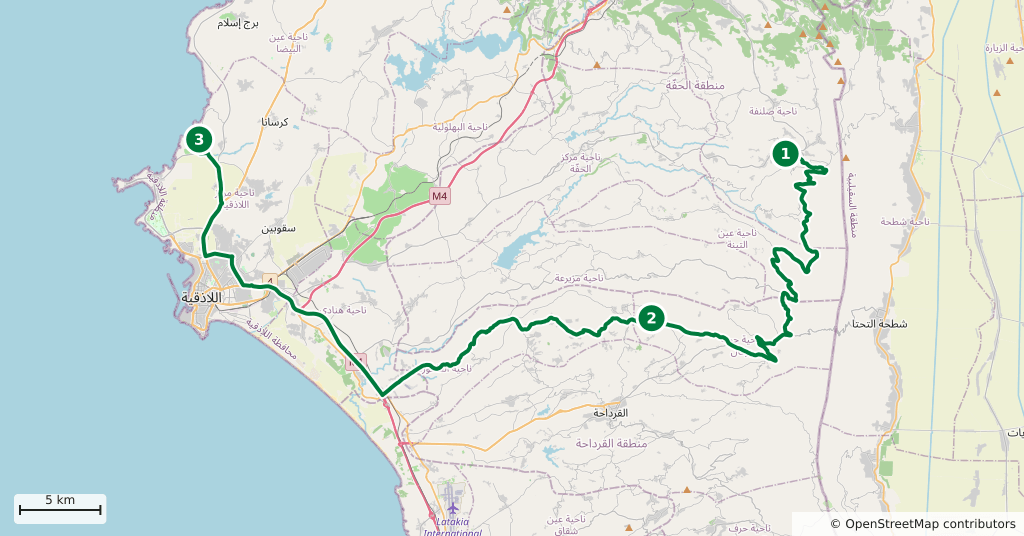
Head east out of Latakia and climb to Slunfeh by way of Haffeh: 50 kilometres, the last stretch a steady climb. Come down south-west from Slunfeh and turn into the village of Mahalibeh; the castle sits on the hill above it and the final part is narrow and stony. From there drop north-west to the coast and the bay of Minet el-Beida, 10 kilometres north of the city. The way back is short, less than half an hour from the bay into Latakia.
Timing
Leave at seven; the mountain road is empty in the morning. Be at Slunfeh by nine and walk an hour inside the forest, because the weather tends to close in after noon. Move on at eleven. You are below Mahalibeh before midday; the climb and the circuit take two hours. Be on the coast by four. See the bay from above, then head back into town before dark.
Watch out
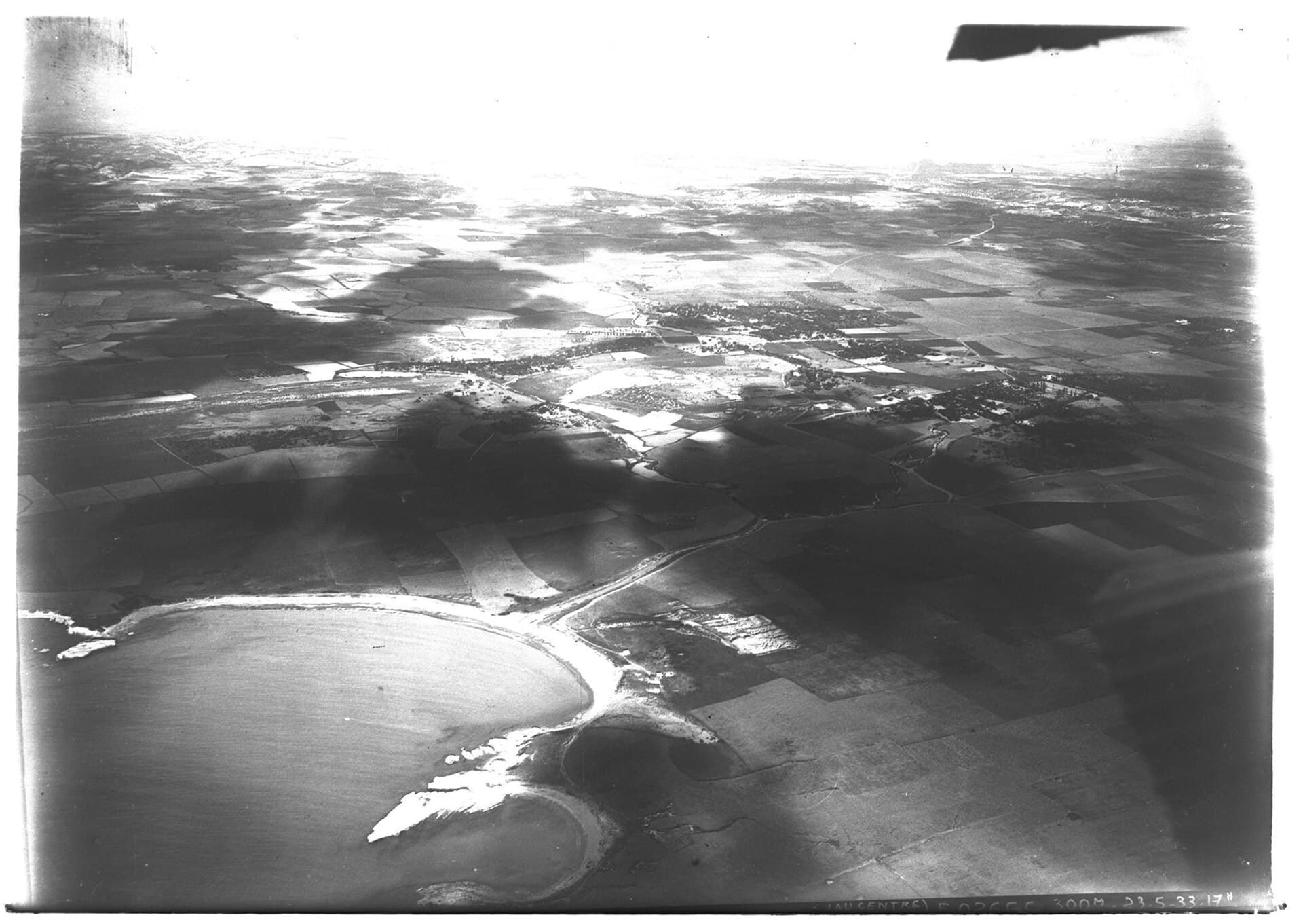
The shore at Minet el-Beida is in military use and there is no free access. Look at the bay from the road and from above, do not try to walk down to the water, and take no photographs where you see uniforms. The path at Mahalibeh is unmarked and the stones turn slippery after rain; the castle was abandoned after the earthquake of 1408, so do not climb onto the walls. Slunfeh is under snow in winter and the road can close. Fuel is scarce in the mountains, so fill up in Latakia.
The route on a map
Stops along the route
- 01
- 02
- 03
Transparency
- How this was chosen
- The stops and their order were set by hand. The line on the map is real road geometry, not a straight hop between pins; distance and duration belong to that itinerary.
- Facts checked
- September 2026
- Last updated
- September 15, 2026