Urkesh and Shubat-Enlil: a day out of Qamishli
West in the morning to Urkesh, the holy city of the Hurrians, south-east in the afternoon to Shamshi-Adad’s capital. 114 kilometres, an unhurried day.
- Duration
- 8 hours
- Distance
- 114 km
- Difficulty
- Easy
- Best season
- April–May, September–October
- stops
- 2
- City
- Qamishli
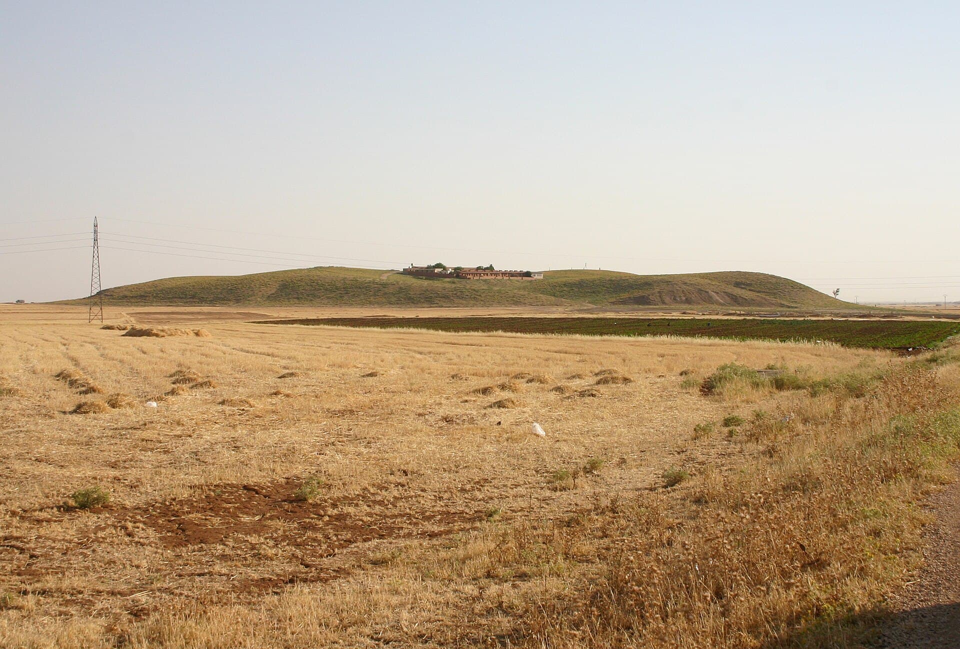
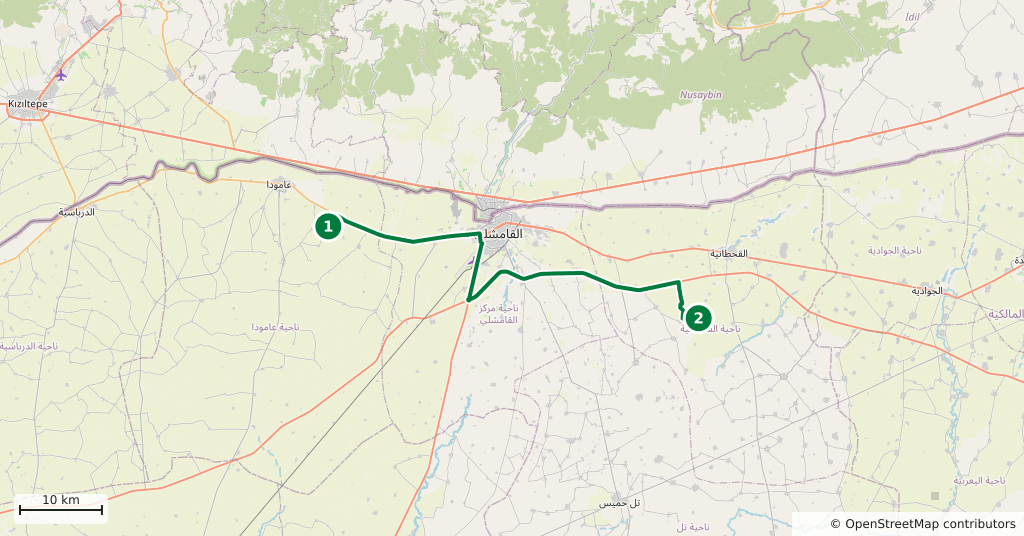
Qamishli sits between two mounds, and they lie in opposite directions. West in the morning, 24 kilometres out: Tell Mozan, the Hurrian holy city of Urkesh. South-east in the afternoon, 34 kilometres out: Tell Leilan, Shamshi-Adad’s capital of Shubat-Enlil. The turn between them runs back through the city, and the day comes to 114 kilometres. Less than two and a half hours of that is driving, which leaves unhurried time on both sites.
The route
Take the Amuda road west out of Qamishli. Tell Mozan is north of that town and visible from the road: a long low ridge behind the fields. Come back the same way into the city, take your midday break in Qamishli, then head south-east towards Qahtaniyah; Tell Leilan is near the Wadi Jarrah. Qamishli is the only sensible place to eat between the two.
Timing
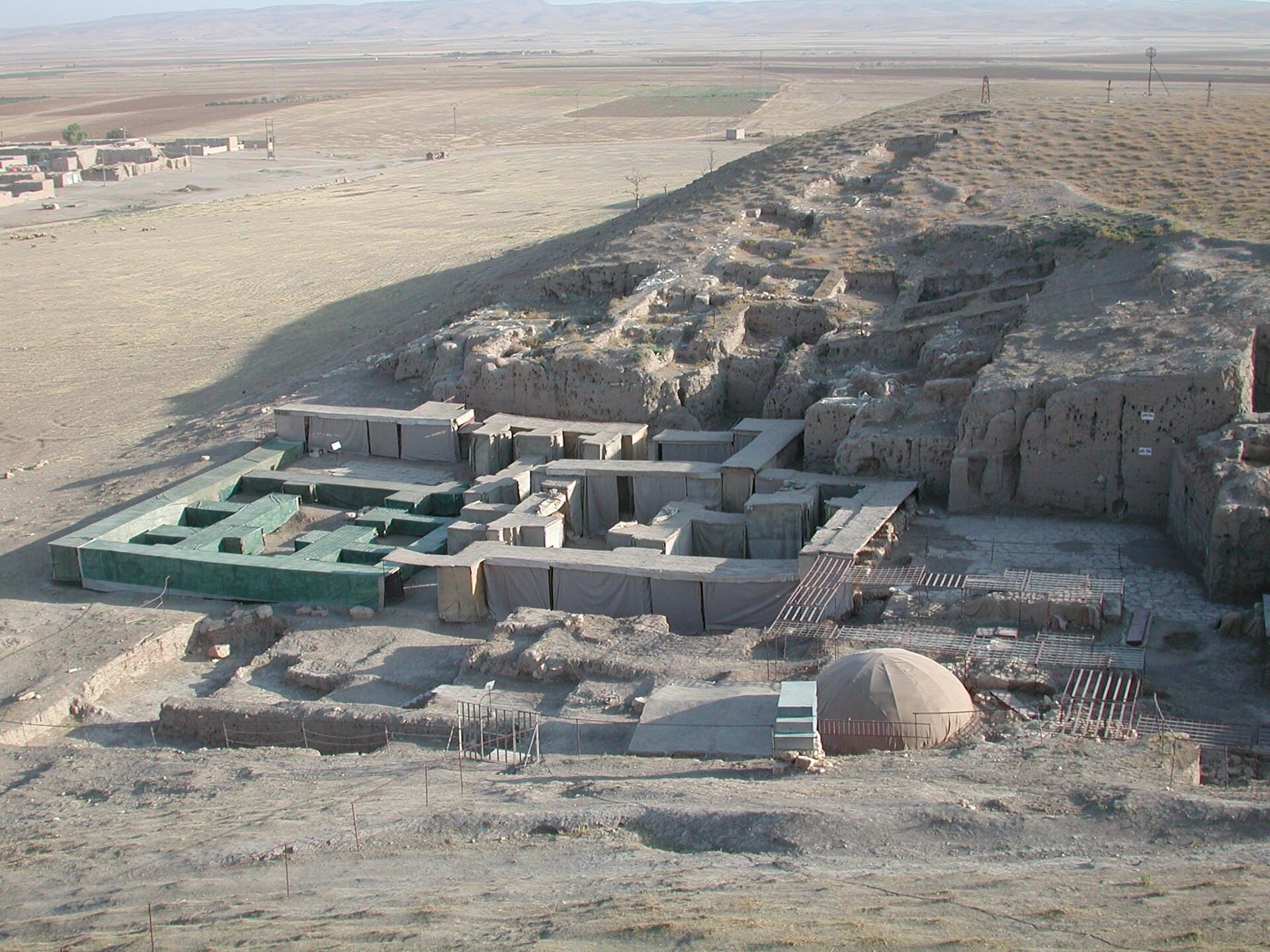
Leave at eight and be at Urkesh by about half past nine. Give it two hours: the temple terrace and its staircase first, then the palace area and a circuit around the covers. Midday in Qamishli. Be at Tell Leilan by two; an hour and a half is enough, and see the excavated section while the light still comes in from the side. Start back at four and be in the city before dark.
Watch out
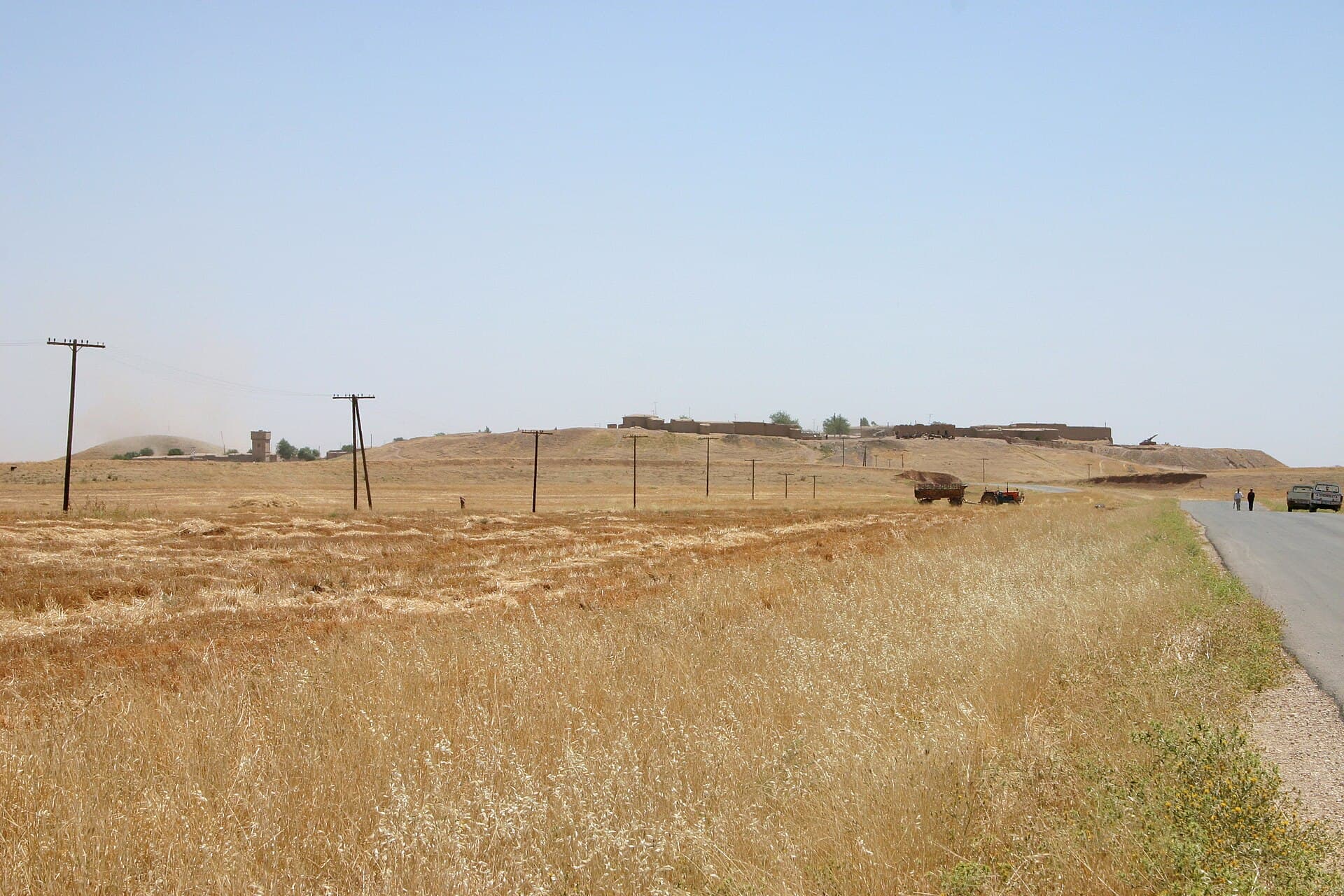
At Urkesh the mud-brick walls are under protective sheeting; do not walk on it or lift its edges. A living village stands on top of Tell Leilan: stay out of the yards and ask before photographing people. Neither site has shade. Ask in Qamishli about the state of the countryside that day, take no photographs at checkpoints, and do not drive at night. The Ain Diwar Bridge will not fit into this day — it is 112 kilometres east and a day on its own.
The route on a map
Stops along the route
- 01
- 02
Transparency
- How this was chosen
- The stops and their order were set by hand. The line on the map is real road geometry, not a straight hop between pins; distance and duration belong to that itinerary.
- Facts checked
- September 2026
- Last updated
- September 15, 2026