A day from Qamishli to Amuda: two cathedrals, Urkesh, Mor Elias and Chagar Bazar
A 104-kilometre day from Qamishli: two city cathedrals, Urkesh, holy city of the Hurrians, Mor Elias in Amuda, reopened in 2017, and Mallowan’s mound, Chagar Bazar.
- Duration
- 7.5 hours
- Distance
- 103.9 km
- Difficulty
- Easy
- Best season
- April–May, September–October
- stops
- 5
- City
- Qamishli
The plain west of Qamishli, just south of the border, holds two very different pasts side by side: churches built by Syriac and Armenian communities who arrived from the 1920s onwards, and mounds four thousand years old. This route ties the two into one day. In the morning the two cathedrals of Qamishli, towards midday Urkesh, the holy city of the Hurrians, then the church of Mor Elias in Amuda, and at the end of the day Chagar Bazar, the mound Max Mallowan dug. The loop out of Qamishli and back is about 104 kilometres, with around two and a half hours of driving.
The route
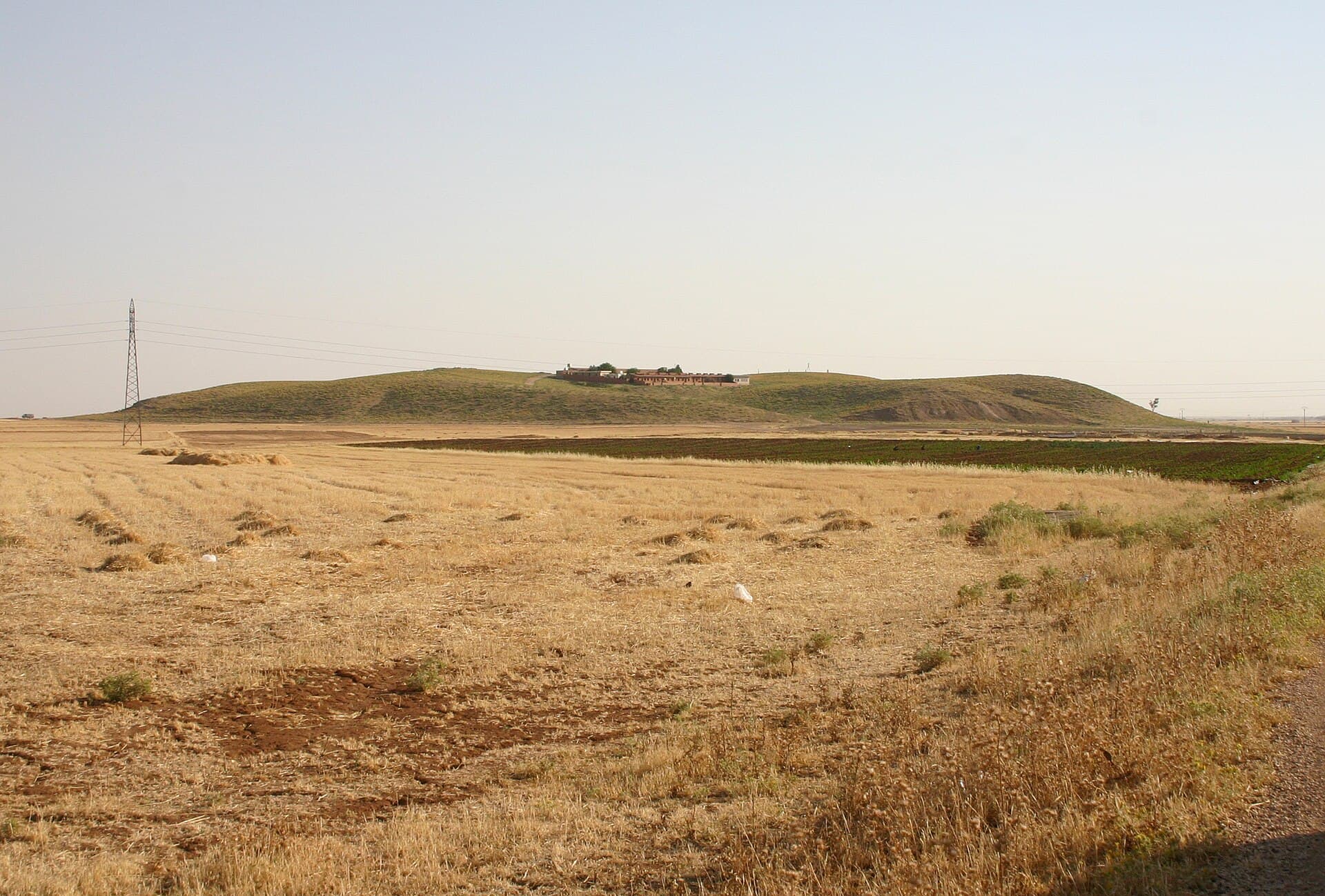
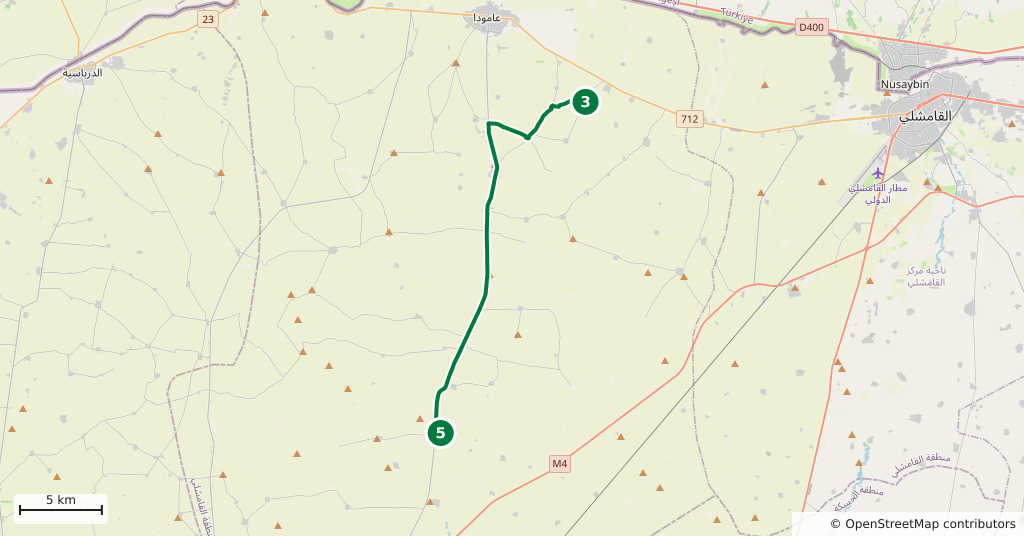
The day starts inside Qamishli. Between St Jacob’s Cathedral and St Joseph’s Cathedral it is a short hop across town. St Joseph’s is on Shukri al-Quwatli Street, opposite Qamishli Hospital. From there head west on the Amuda road: Tell Mozan is 24 kilometres, about forty minutes. The mound is visible from the road, a long low ridge behind the fields. From Tell Mozan to Amuda is 10 kilometres, a quarter of an hour. Chagar Bazar is 27 kilometres south of Amuda, about fifty minutes; the asphalt runs as far as the village and the last part is a field track. The way back from Chagar Bazar to Qamishli is 43 kilometres, forty-five minutes.
Timing
Be at the Syriac Orthodox Cathedral of St Jacob of Nisibis at 08:00. The first mud-brick church went up in 1925; the present building rose in 1947 and was consecrated in 1953. It is a working church: Easter 2026 was celebrated here, and the Syriac Orthodox Patriarch led the liturgy here on 30 April 2026. It takes its name from St Jacob of Nusaybin, the town just across the border. At 08:45 move on to St Joseph’s Armenian Catholic Cathedral. It became the seat of a patriarchal vicariate in 1938 and was declared a cathedral in 1954. The congregation numbered 1250 in 2010 and had fallen to 500 by 2019. At both churches the door may be shut outside services, so ask before you go.
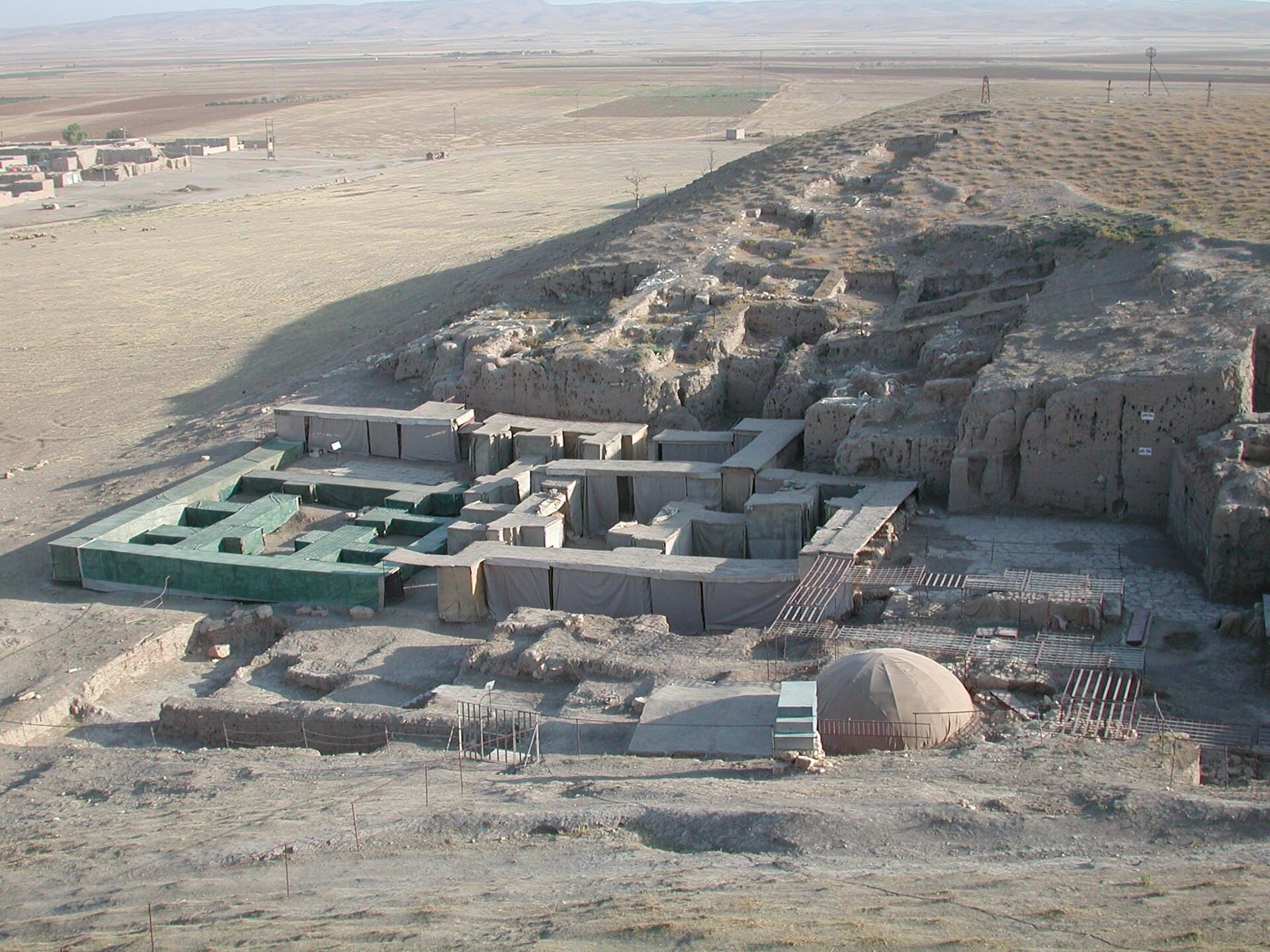
Head west at 09:30 and you are at Tell Mozan by 10:10. Give it two hours. The site covers 135 hectares, but the main mound is 18 hectares and rises 25 metres above the plain. Climb the staircase of the temple terrace; from the top you can read how King Tupkish’s palace relates to the square. Most of the seal impressions found in the palace belonged to Queen Uqnitum. Beside the palace is the Abi, an underground pit thought to have been used to speak with the dead; it is unmarked, so ask where it is. Excavation began in 1984 and stopped in 2011, and the finds are in the Deir ez-Zor Museum. In March 2026 the Nowruz fire was lit in the village of Tell Mozan.
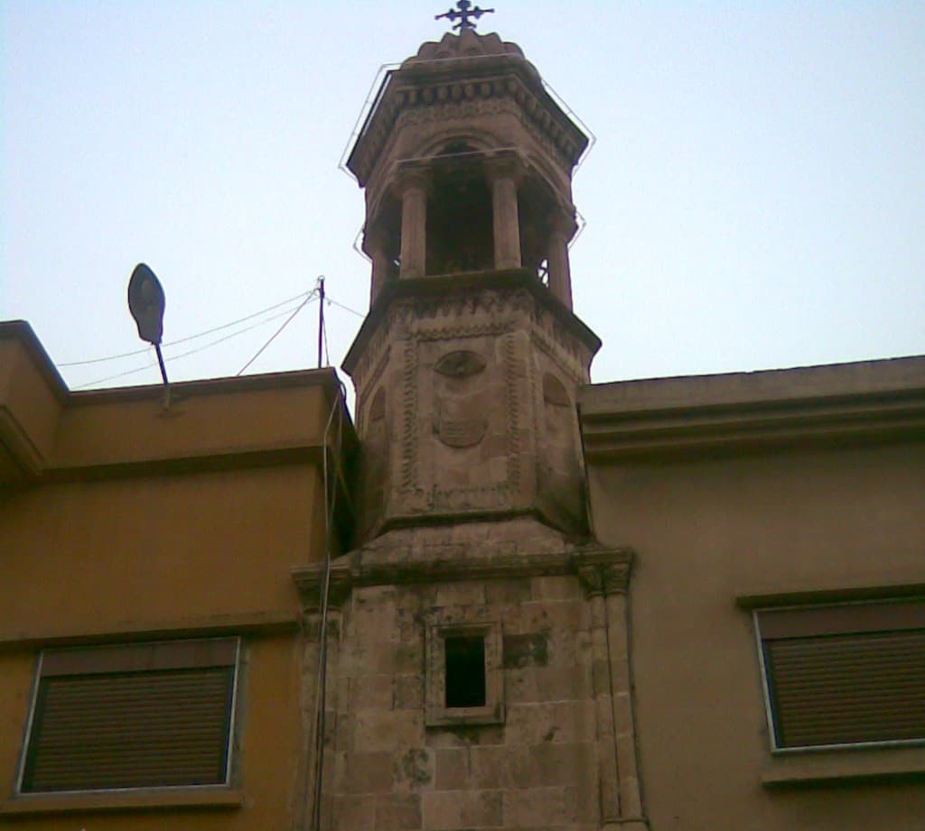
Move on to Amuda at 12:10 and you are at the church of Mor Elias by 12:30. Half an hour is enough. The church opened in 1927-1928, stood closed and derelict for more than 40 years, and was restored and reopened on 20 July 2017. Since then the feast-day liturgy of Mor Elias has been held here every 20 July, and the Syriac Orthodox Patriarch visited the church in May 2026. Few Christians remain in the town; if you are going on any day other than the feast, ask the Syriac Orthodox community in advance.
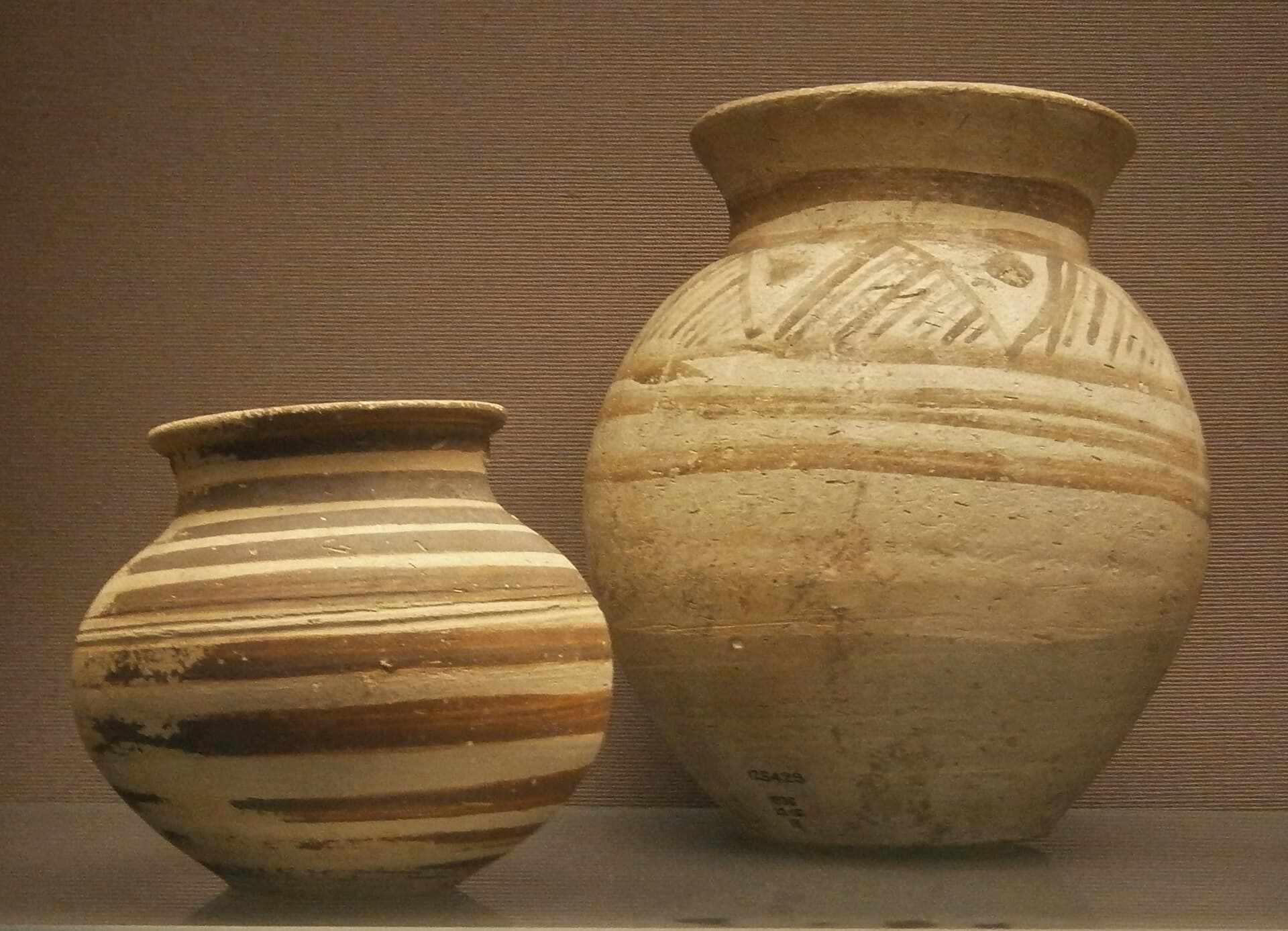
Head south at 13:00 and you reach Chagar Bazar around 13:50. Forty-five minutes is enough. No standing building survives: two rises, the slumped edges of old trenches and potsherds on the slope. Max Mallowan dug here for three seasons between 1935 and 1937, and Agatha Christie was on the team. No dated source was found showing current access to the mound; ask in Amuda about the track and whether you may cross the fields. Start back at 14:35 and you are in Qamishli around 15:20.
Take care
The administration of the region changed in 2026. A ceasefire and integration agreement was signed in January 2026, administrative integration was completed on 20 August 2026, and the checkpoints came under a single administration. Road blocks still happen: on 13 September 2026 a protest against a fuel price rise closed the M4 near Tel Tamer and the Qamishli road. The evening before you set off, ask whether the route is open. Do not take photographs at checkpoints, and finish the drive in daylight.
Amuda and Tell Mozan lie just south of the Turkish border; do not go north of the town towards the border line. At Urkesh, do not step on the protective sheeting over the mud-brick walls or lift its edges. At Chagar Bazar, do not pick up pottery from the ground; the land around the mound is farmed, so ask in the village before crossing a field. None of the open sites has shade, so bring water from Qamishli. In the churches, ask before taking photographs. If you go on a Sunday, find out the liturgy times in advance and shift the plan around them. April to May and September to October are the easiest months; if you time it for 20 July, the church in Amuda is sure to be open, but the heat that day is harsh.
The route on a map
Stops along the route
- 01
- 02
- 03
- 04
- 05
Transparency
- How this was chosen
- The stops and their order were set by hand. The line on the map is real road geometry, not a straight hop between pins; distance and duration belong to that itinerary.
- Facts checked
- September 2026
- Last updated
- September 15, 2026