Tell Leilan
Shubat-Enlil, the capital of Shamshi-Adad. In the cut face of the mound lies a band of soil with no trace of settlement in it: three centuries of drought.
- Opening hours
- Open ground, daylight hours; confirm on arrival
- Entry
- Variable — confirm at the entrance
- Duration
- 90 minutes
- Best time
- Morning; the layers in the section read better in side light
- Period
- Akkadian — Old Babylonian
- Address
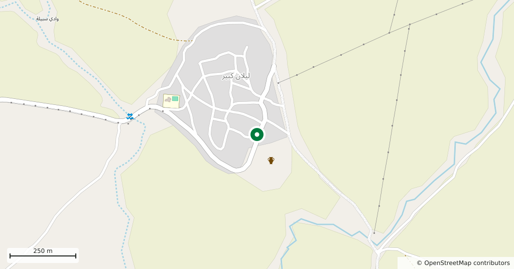
- Tell Leilan village, the Wadi Jarrah; 34 km south-east of Qamishli
Tell Leilan is known for two things: a capital and a drought. The mound began around 5000 BC as a farming village, had grown into a large walled city by 2600 BC, and by the end of the third millennium was one of the administrative centres of Akkad, under the name Shehna. Around 1800 BC the Amorite ruler Shamshi-Adad made it his own capital and renamed it Shubat-Enlil, the residence of Enlil. The city was abandoned around 1700 BC.
Getting there
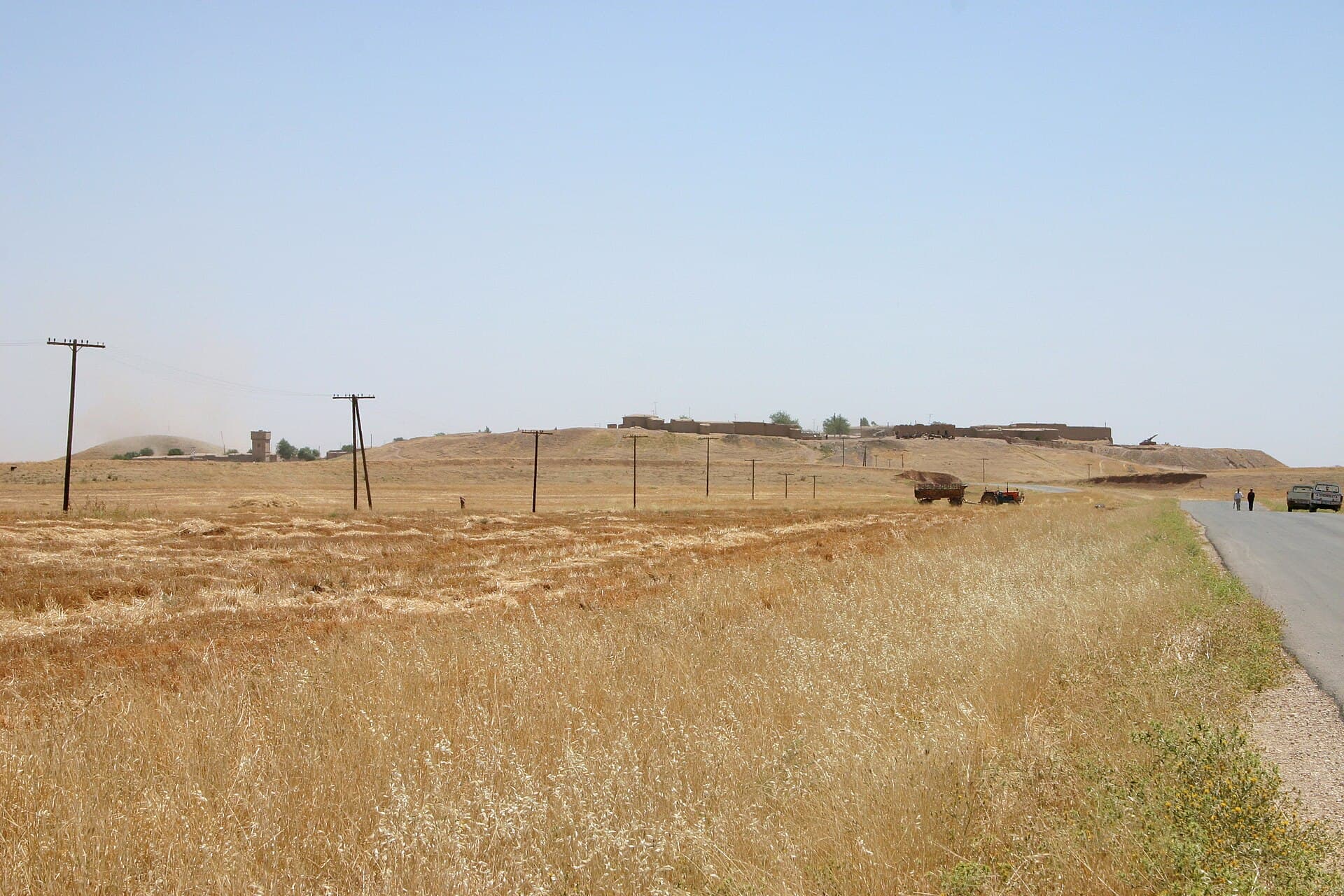
34 kilometres south-east of Qamishli by road, near the Wadi Jarrah. Forty-five minutes by car. A village sits on top of the mound today; from the road the rooftops and the excavation faces are in the same view.
How long it takes
An hour and a half. The site covers ninety hectares, but what can be walked is the mound and the acropolis.
What to see
Shamshi-Adad’s city was a planned one: a straight paved street ran from the city gate up to the temple acropolis, and there was a royal palace, a laid-out residential quarter and a wall around the whole. The ninety-hectare city may have held twenty thousand people. What stands today is palace footings and the rise of the acropolis, and the line of the street can still be followed. From the city’s archive came 1100 cuneiform tablets of the eighteenth century BC, carrying its correspondence with other Mesopotamian states.
What not to miss
The empty band in the excavated face. On the flank of the mound lies a layer of soil close to a metre thick with no trace of human settlement in it. That band records a drought that set in around 2200 BC and lasted three centuries: crops fail, the city empties, the plain is abandoned. This band is Tell Leilan’s real contribution to archaeology — the argument that the Akkadian Empire collapsed for climatic reasons came largely from here. If you have a guide, ask to be shown the section; without knowing, you are looking at an ordinary face of earth.
The site today
A team from Yale University dug here from 1979 to 2008. The finds are in the Deir ez-Zor Museum. A living village stands on the mound, so this is not a closed excavation compound: as you pass between the houses, stay out of the yards and ask before taking photographs. Ask in Qamishli about the road before you go.
Tips
- Ask for the empty band of soil in the excavated face: the drought is recorded there
- Follow the line of the street from the gate up to the acropolis — that is how the plan reads
- A village lives on the mound; stay out of the yards and ask before photographing people
- The tablets are not here but in the Deir ez-Zor Museum
- If Tell Mozan is in the same day, the two lie in opposite directions; the return runs through Qamishli
Transparency
- How this was chosen
- Written by hand; opening hours, entry fee and coordinates are kept as data. A field that is not known for certain is marked as variable rather than guessed.
- Facts checked
- September 2026
- Last updated
- September 15, 2026