A day west of Hama: Deir al-Salib, Abu Qubays and Mhardeh
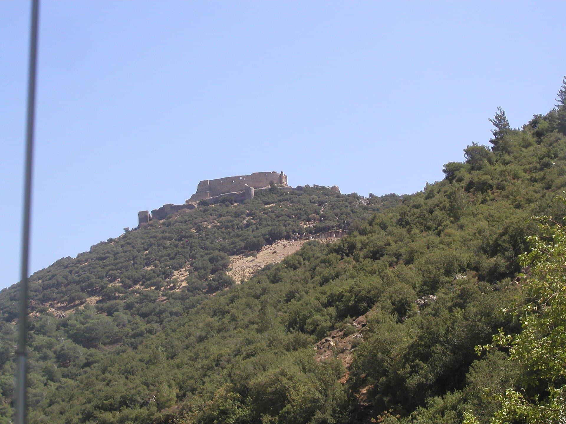
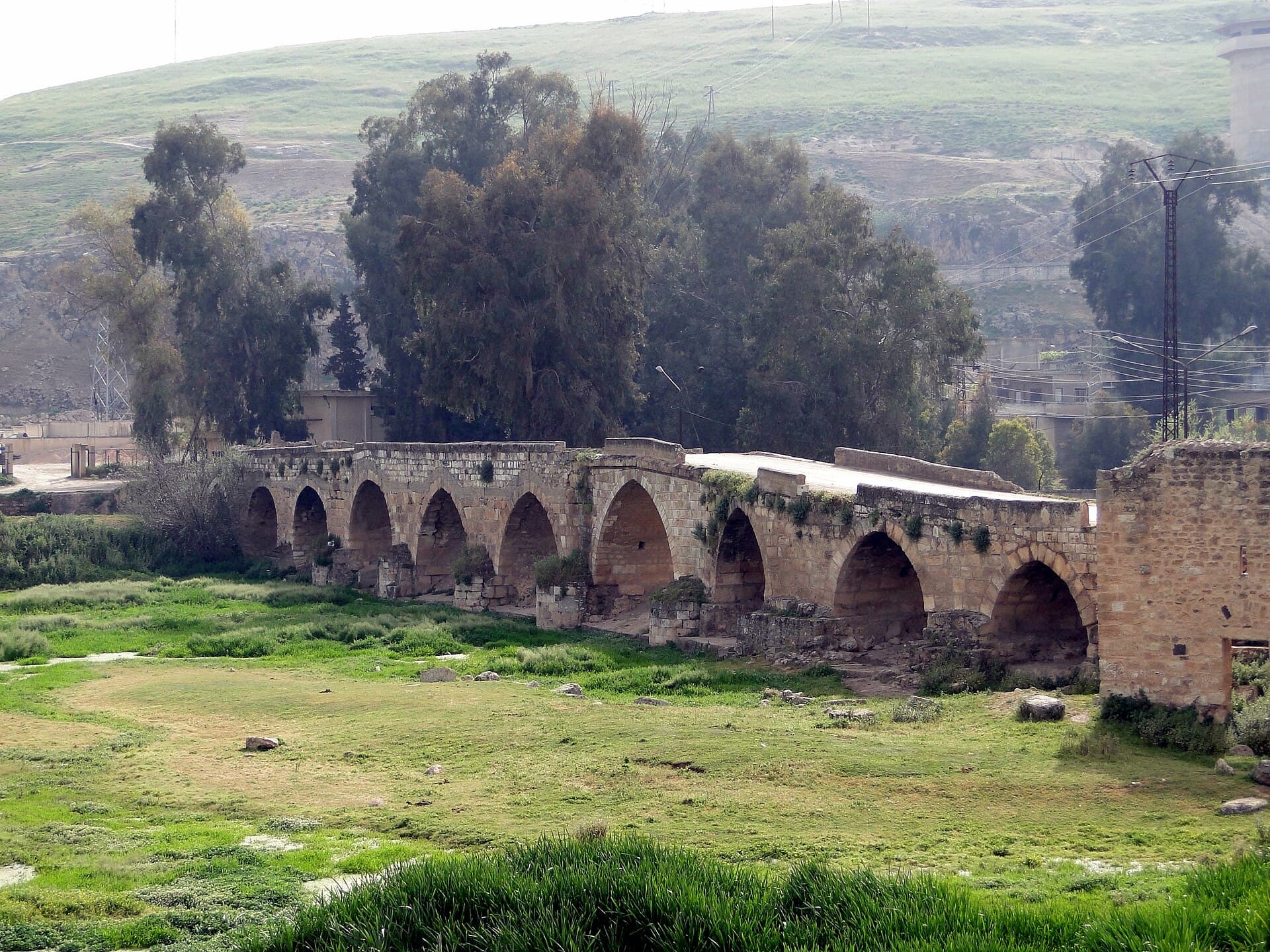
A Byzantine church, an Assassin castle on a wooded slope, and a many-arched stone bridge over the Orontes. 133 kilometres west of Hama, hour by hour, with warnings.
- Duration
- 9 hours
- Distance
- 133 km
- Difficulty
- Moderate
- Best season
- April–June, September–November
- stops
- 3
- City
- Hama
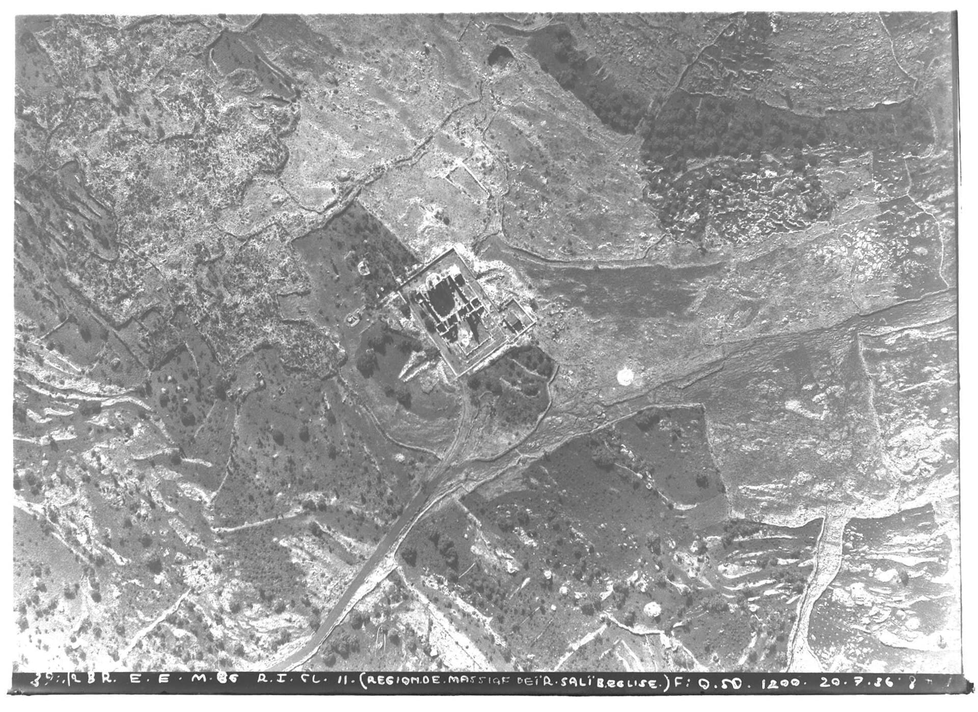
Routes out of Hama mostly run north, to Apamea and Shayzar. This day goes west instead, and takes three separate layers in order: a Byzantine church of the fifth and sixth centuries, an Assassin castle on the slope of Jebel Ansariyah, and a many-arched stone bridge over the Orontes. It comes to 133 kilometres and nine hours, four of them driving. Two of the three sites have no keeper at all.
The route
Head west out of Hama on the Masyaf road. Deir al-Salib stands among fig trees before you reach Masyaf; there is no sign, so ask in the village. From there go north along the foot of the range to Abu Qubays. The castle sits inside oak forest and the last stretch is dirt track. Drop east from Abu Qubays, cross the Ghab plain and reach Mhardeh, 23 kilometres north-west of Hama. The run home along the Orontes is short.
Timing
Leave at eight. Be at Deir al-Salib by half past nine; the church is small, and an hour covers it together with the cross-shaped font. Move on at eleven. You are below Abu Qubays at midday; half an hour up on foot, an hour on the castle. Drop to the plain at two and eat in Mhardeh. Be on the bridge at four. Get back to Hama before dark.
Watch out
Deir al-Salib and Abu Qubays have no keeper, no ticket and no signage. You may well be alone at both, so let someone know where you are going. The walls at Abu Qubays are loose, so keep off the edges and do not climb after rain. There is a fire risk in the forest at the end of summer, so light nothing. The bridge at Mhardeh has no parapet. Fill up in Hama and do not drive at night.
The route on a map
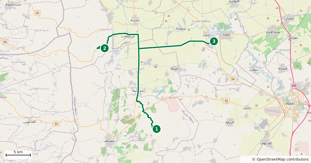
Stops along the route
- 01
- 02
- 03
Transparency
- How this was chosen
- The stops and their order were set by hand. The line on the map is real road geometry, not a straight hop between pins; distance and duration belong to that itinerary.
- Facts checked
- September 2026
- Last updated
- September 15, 2026