Bloudan
A town at 1500 metres, 5 kilometres above the Zabadani plain. Almond woods, terraced orchards, and a name that two Arab summits once borrowed from it.
- Opening hours
- An open town, all day
- Entry
- Free
- Duration
- 120 minutes
- Best time
- June to September; the plain is lit in the morning and against the light after noon
- Period
- —
- Address
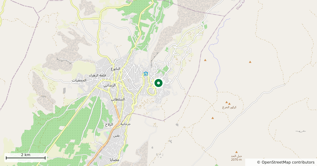
- Bloudan, 5 km above Zabadani, Rif Dimashq
On a hill 5 kilometres above Zabadani, at 1500 metres. The plain lies below and the town looks down on it, ringed by mountain woodland that is mostly almond. The name is old too: it comes from the Aramaic Bil-dan, the place of the god Bel. The town’s second name comes from the trees — it is called the land of almonds.
Getting there
5 kilometres up from Zabadani, a quarter of an hour on a winding road. From Damascus it is 51 kilometres, about an hour and ten minutes. The road holds snow in winter; ask about it before you set out.
How long it takes
Two hours. There is no list of monuments here; the work is walking, going to the edge of the slope to look over the plain, and wandering between the orchards.
What is there
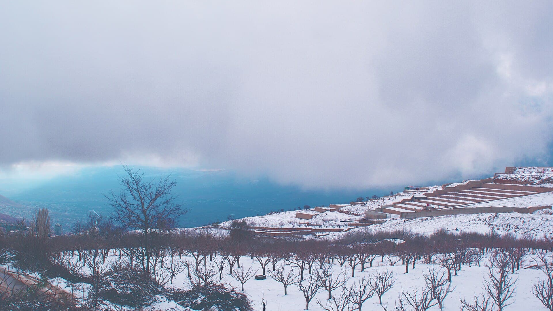
The view is the thing. Terraces step down one below another with fruit trees and dry stone walls between them, and the Zabadani plain runs out underneath. In winter it is all under snow, and cloud often hangs over the plain with the town standing above it. Bloudan today is largely new: rendered concrete houses have taken the place of the old Greek Orthodox village of the 18th and 19th centuries. The 2004 census recorded 3101 people; the majority are Greek Orthodox, with Sunni and Protestant minorities.
What most people miss
The slope to the east. The remains of an old Greek Orthodox monastery and the church of Mar Jirjis stand up there in the mountain, and Roman-period rock carvings have been recorded to the south. The old core of the village is in the valley of Mar Elias. Ask in the village about the state of the track before you climb; the paths are not marked.
Why the name is familiar
Bloudan takes up more room in the history books than its size suggests: the Arab conferences that met here in 1937 and in 1946 carried the town’s name. Nothing was left standing from those meetings, but the name stayed.
One tradition
A mile south of the town, under old oaks, a stone-terraced shrine was recorded in 1909: women from the surrounding villages, Christian and Muslim, went there to break a new jar in fulfilment of a vow. The traveller who wrote it down also described the heap of broken pottery around it. Ask locally what has become of the practice; listen to whoever tells you, and keep your interpretation to yourself.
Tips
- Go to the edge of the slope and look down; that is what the town is really for
- Evenings are cool even in summer, so bring a light layer
- The road holds snow in winter; ask about it before you set out
- Pair it with Zabadani; they are 5 kilometres apart
Transparency
- How this was chosen
- Written by hand; opening hours, entry fee and coordinates are kept as data. A field that is not known for certain is marked as variable rather than guessed.
- Facts checked
- September 2026
- Last updated
- September 15, 2026