Serghaya
A border town at 1446 metres, 12 kilometres north of Zabadani. Apple and cherry orchards, and the last stop on the narrow-gauge line that came up from Beirut.
- Opening hours
- An open town, all day
- Entry
- Free
- Duration
- 90 minutes
- Best time
- Blossom in April, harvest in October; the road holds snow in winter
- Period
- —
- Address
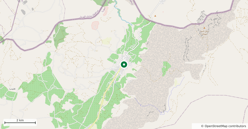
- Serghaya, 12 km north of Zabadani, Rif Dimashq
At the north end of the Zabadani plain, at the foot of the Anti-Lebanon and hard against the Lebanese border. The town stands at 1446 metres and lives off its orchards: apple, cherry, pear, peach and apricot. Summers are cooler than down in the plain, and in winter the snow covers the town and the mountain together.
Getting there
12 kilometres north of Zabadani, half an hour. From Damascus it is 60 kilometres, and the road comes through Zabadani; there is no other way in. Services are thin and you need a car.
How long it takes
An hour and a half. The town is small; the orchard lanes, the centre and the ground around the station fill that time.
What is there
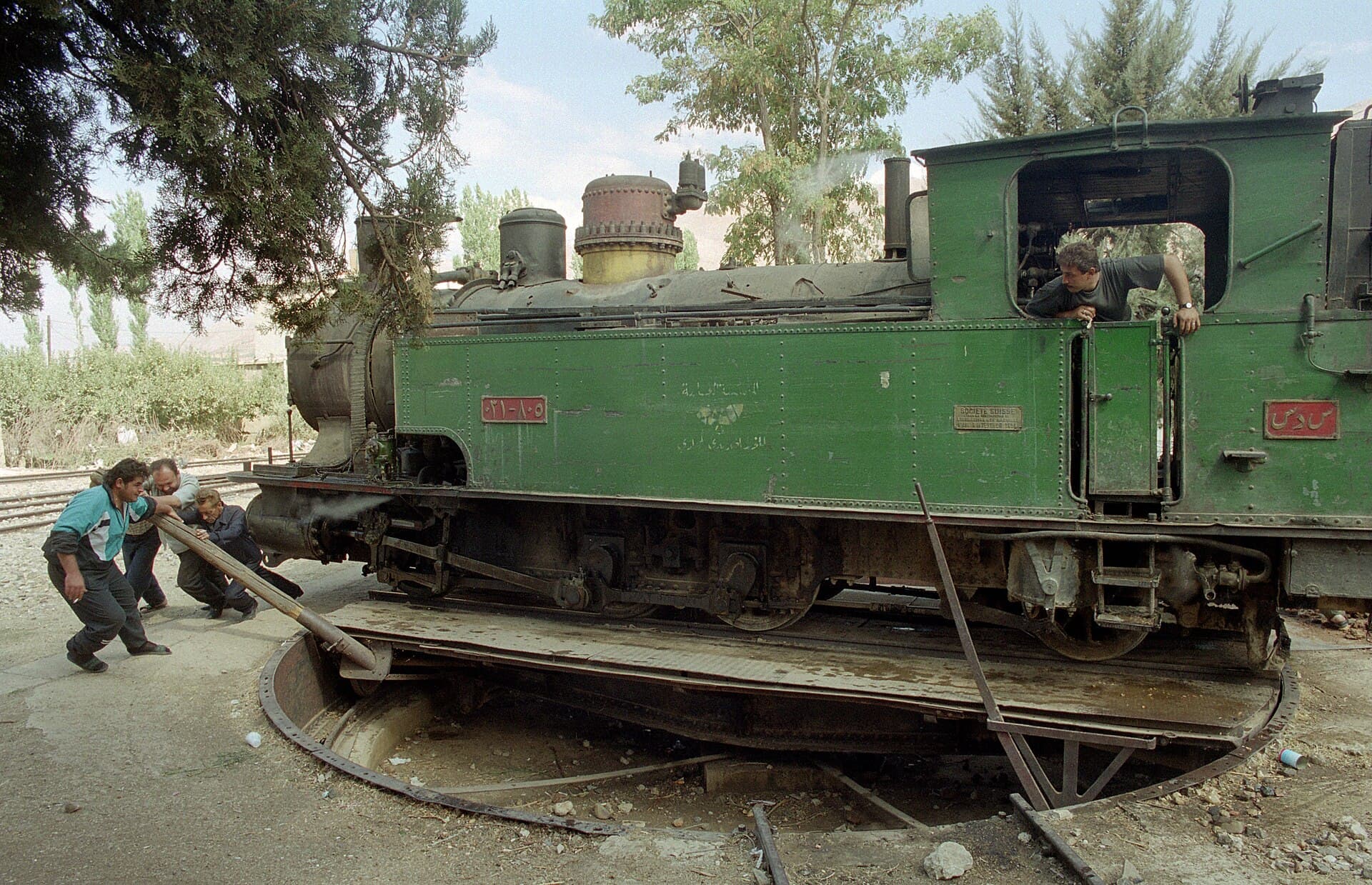
What Serghaya has is not a monument but an end of the line. The narrow-gauge railway that came up from Beirut through Rayak in the Bekaa finished here, and the station had a turntable for sending the locomotive back the other way. The cover photograph on this page was taken there in 2000: three men swinging a steam locomotive round by hand on a long bar. There is no regular service on this line now. Ask in the town about the state of the track and the station building, and ask permission before you go near them.
What most people miss
The lanes between the orchards. The town sits in a narrow valley and the gardens climb the slope; the higher you go, the more the Zabadani plain opens out to the south. The harvest is in October and the blossom in April, and the two months show you a different town.
The border asks for care
The Lebanese border is immediately to the west and there are checkpoints on the road. Keep your passport and entry stamp to hand. Do not photograph checkpoints, military installations, or the slopes that face the border line; photography is what gets visitors into trouble most often in this district. Do not set out walking towards the border, and ask in the town which roads are open. The 2004 census recorded 7501 people here.
Tips
- Ask permission in the town before going near the station or the track
- Do not photograph the slopes that face the border line
- Walk up the orchard lanes; the plain opens to the south from there
- Pair it with Zabadani; they are 12 kilometres apart
Transparency
- How this was chosen
- Written by hand; opening hours, entry fee and coordinates are kept as data. A field that is not known for certain is marked as variable rather than guessed.
- Facts checked
- September 2026
- Last updated
- September 15, 2026