From Maysalun to the Zabadani plain: Lake Zarzar, Madaya and Bloudan in a day
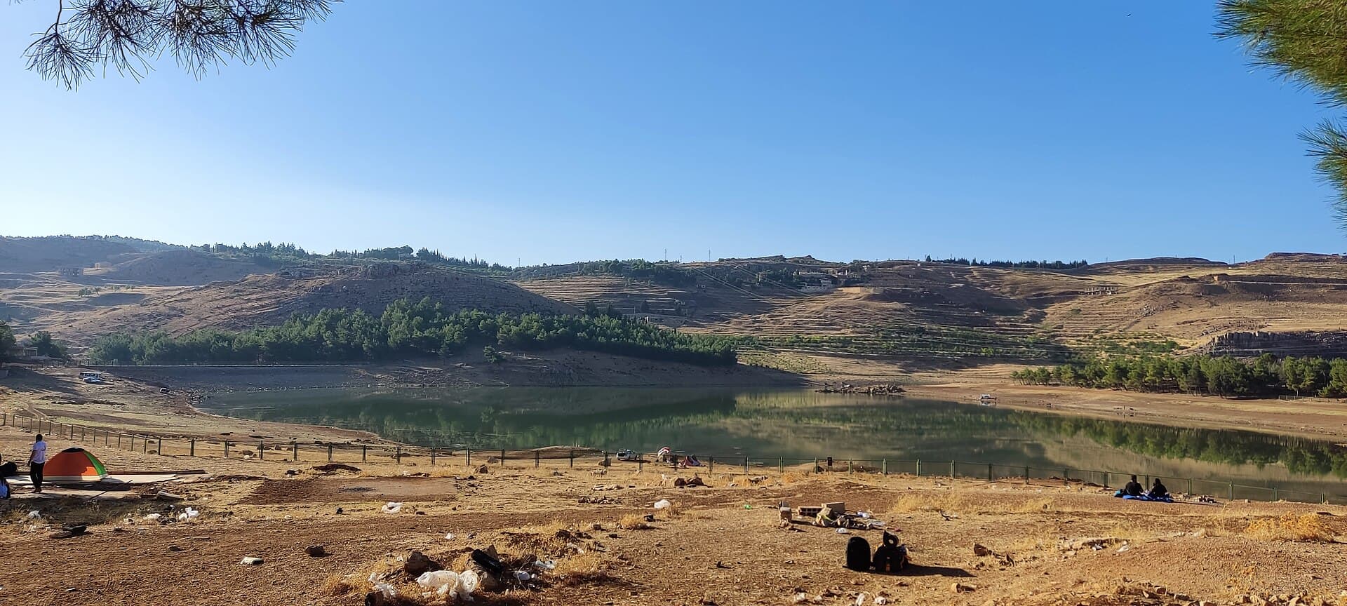
A day up the old Beirut road: the 1920 Maysalun tomb, Lake Zarzar behind its 1969 dam, the orchards of Madaya and Bloudan at 1500 metres above the plain.
- Duration
- 8 hours
- Distance
- 119 km
- Difficulty
- Easy
- Best season
- May to June and September
- stops
- 4
- City
- Zabadani
A day that leaves Damascus on the old Beirut road and climbs into the upper basin of the Barada. The route passes a century in order. First comes the tomb of Yusuf al-Azma, killed fighting the French at Maysalun on 24 July 1920, then Lake Zarzar behind the dam built in 1969. Madaya was under siege from July 2015 to April 2017, and the plain’s two summer towns, Zabadani and Bloudan, close the day. It is 119 kilometres including the way back, and 8 hours door to door. A car is essential. The line runs close to the border; check the road and access to two of the stops before you set out.
The route
Leave Damascus north-west, towards Beirut. Near Khan Maysalun on the old carriage road, inside a grove, are the Maysalun Martyrs’ Cemetery and the Tomb of Yusuf al-Azma: 35 kilometres. From here turn north towards Zabadani; Lake Zarzar, at 1200 metres between the villages of Rawda, Hosh Bajed and Takiyeh, is 6 kilometres on. Another 16 kilometres towards the plain: Madaya sits on the slope at the western edge of the plain, with a market street 600 metres long at its centre. Zabadani is 5 kilometres north, at 1250 metres. The last leg climbs: 5 kilometres on a winding road to Bloudan at 1500 metres. The way back runs through Zabadani to Damascus, 52 kilometres.
Timing
Leave Damascus at 08:00 and be at Maysalun by 08:45. Half an hour is enough at the tomb; look for the Zulfiqar carved on the triangular lid of the sarcophagus. Move on to Zarzar at 09:30 and stay an hour on the shore. At 1200 metres the air cools in the late afternoon. At 11:00 you are in Madaya. Climb to the upper streets; only from there does the Zabadani plain show whole. Two hours. At 13:15 go down into the centre of Zabadani and take the midday break there. Drive up to Bloudan at 15:00. The plain is in the light in the morning and until noon, and against it in the afternoon; at this hour watch the view for the drop in height rather than for photographs. Start back at 17:00 and you reach Damascus around 18:00. May to June and September are good months: the cherry and apple harvests fall then.
Take care
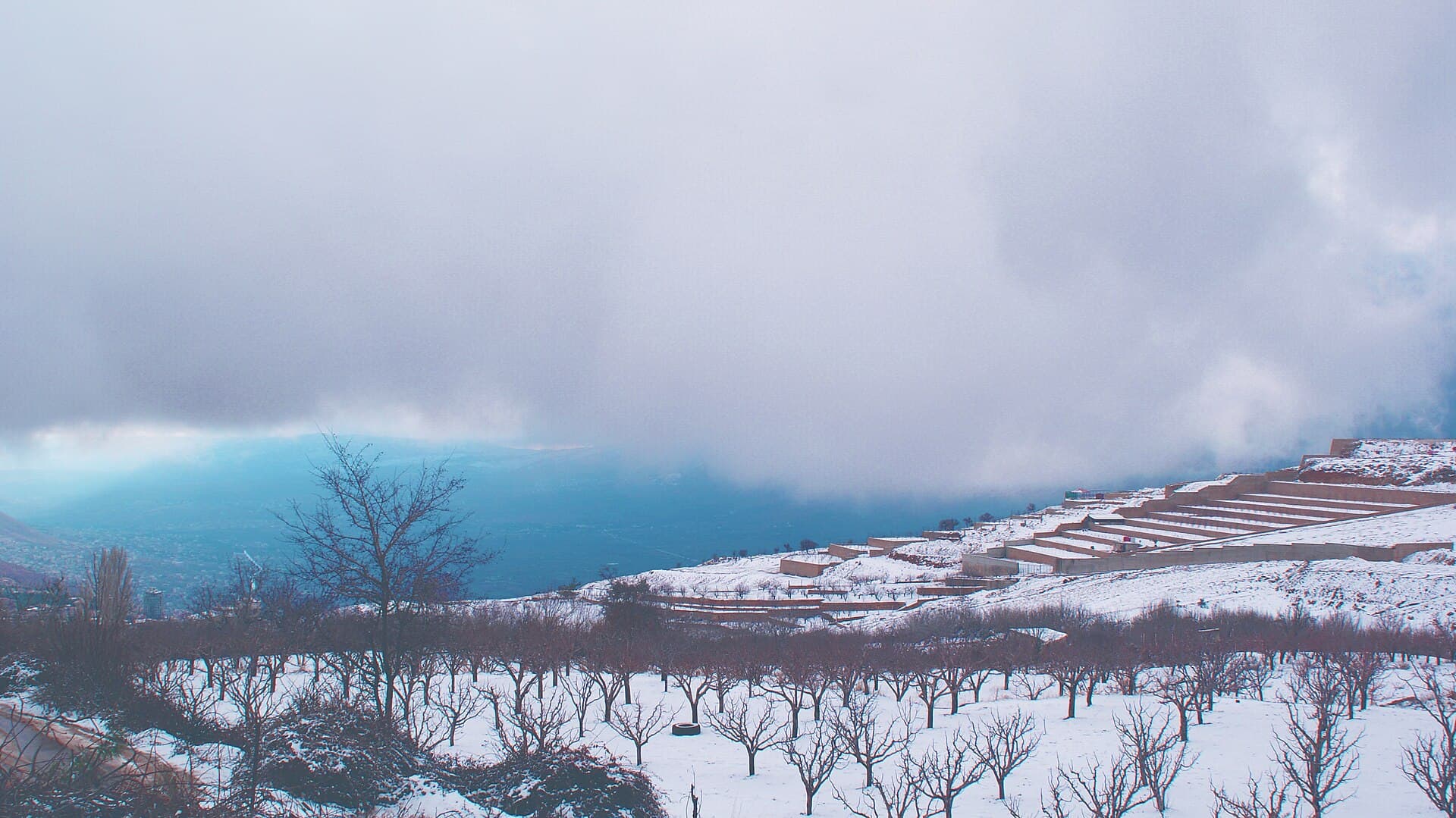
The line runs close to the Lebanese border and the Jdeidet Yabous crossing. There may be military checkpoints on the road: keep your passport to hand, and do not photograph checkpoints or the direction of the border. It could not be confirmed whether the tomb at Maysalun can be entered freely, or whether the site is a military protocol area; check at the entrance. Lake Zarzar is not the same every year. In September 2025 its bed was almost dry, the 2026 rains refilled it, and since June 2026 the sluice gates have been reported open; ask whether there is water before you go. The siege years are Madaya’s recent past: its edges were mined, deaths from hunger were recorded in early 2016, and the siege was lifted in 2017 under the four towns agreement. The present state of accommodation and services in the town cannot be confirmed. In winter the Bloudan road holds snow; between December and February ask about it before setting out.
The route on a map
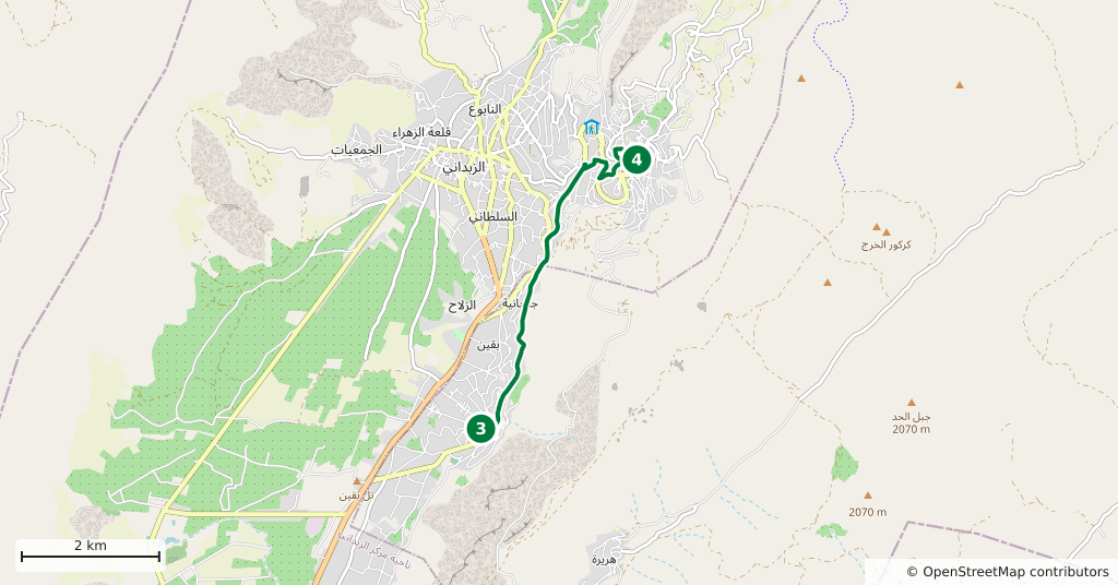
Stops along the route
- 01
- 02
- 03
- 04
Transparency
- How this was chosen
- The stops and their order were set by hand. The line on the map is real road geometry, not a straight hop between pins; distance and duration belong to that itinerary.
- Facts checked
- September 2026
- Last updated
- September 15, 2026