Up the Barada valley to Zabadani and Bloudan: one day
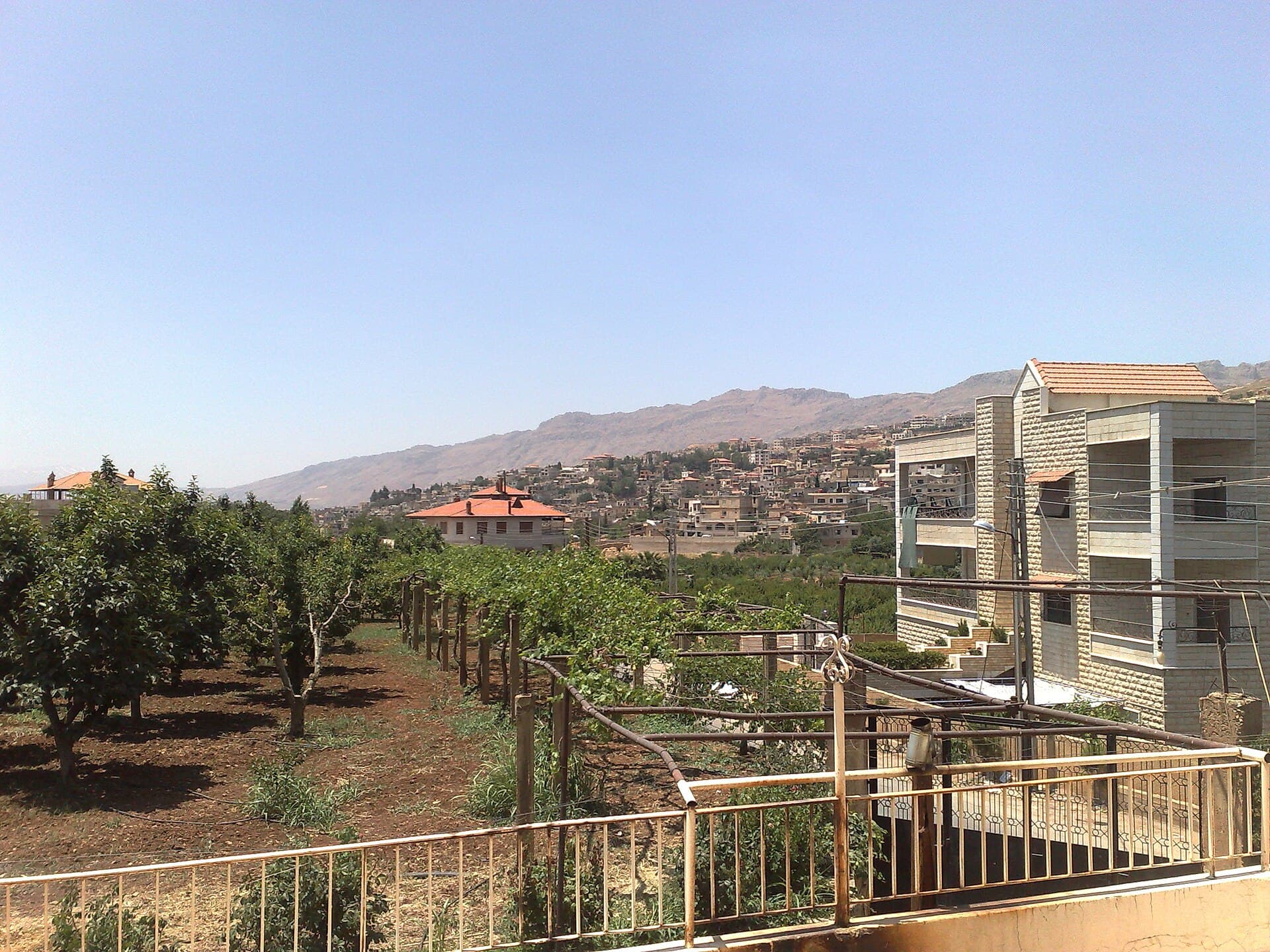
A day out of Damascus climbing into the highlands: ancient Abila, the Zabadani plain, Bloudan at 1500 metres and Serghaya on the border. 137 kilometres.
- Duration
- 10 hours
- Distance
- 137 km
- Difficulty
- Easy
- Best season
- June-September
- stops
- 3
- City
- Zabadani
An hour of climbing out of Damascus and the climate changes. This day follows that change from end to end: plain to gorge, gorge to highland, highland to the apple orchards on the border. 137 kilometres in all, and 10 hours door to door. A car is essential; no regular service links the four stops. The order matters too, because the view from Bloudan is better before noon and the orchards at Serghaya better in the late afternoon.
The route
Leave Damascus heading north-west. It is 40 kilometres to the mouth of Wadi Barada; the road follows the river and, at the narrowest point, runs in between two walls of rock. Souq Wadi Barada is there. The rest is upward: 16 kilometres to Zabadani, climbing the whole way, and then the plain opens all at once. Bloudan is 5 kilometres higher on a winding road, at 1500 metres, looking down over the plain. The last leg runs north: 13 kilometres to Serghaya, hard against the border. The way back goes down the same valley to Damascus, 63 kilometres.
Timing
Leave Damascus at 08:00. You reach Souq Wadi Barada at 08:45; an hour is enough, and the road and the tablets in the cliff can be seen from below. Back on the road at 09:45, be in Zabadani by 10:15. Give the centre and the orchards two hours, then climb the 5 kilometres towards midday. The view from Bloudan is better before noon, because the plain falls against the light afterwards. Two hours here, with the midday break. Move on to Serghaya at 14:45 and give it an hour and a half. Start back at 16:15 and you are in Damascus around 18:00.
Watch out for
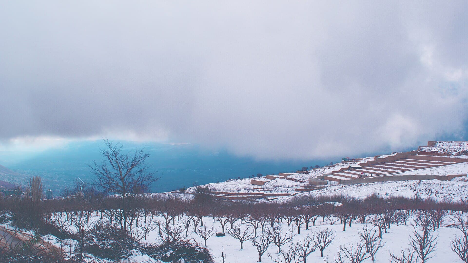
The road holds snow in winter and the mountain section can close; between December and February, ask about it before you set out. At Serghaya the Lebanese border is immediately to the west: keep your passport to hand, and do not photograph checkpoints or the slopes that face the border. At Souq Wadi Barada, do not climb the cliff; the remains can be made out from below and the ground is not a managed site. Wadi Barada saw fighting at the end of 2016 and the start of 2017, and Zabadani between 2012 and 2017; damaged streets remain and the repair has not moved at the same pace everywhere. From June to September every part of the day is comfortable.
The route on a map
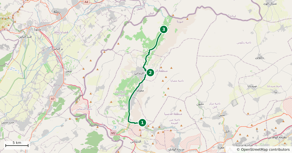
Stops along the route
- 01
- 02
- 03
Transparency
- How this was chosen
- The stops and their order were set by hand. The line on the map is real road geometry, not a straight hop between pins; distance and duration belong to that itinerary.
- Facts checked
- September 2026
- Last updated
- September 15, 2026