Diyatheh Roman Fort
A four-towered Roman fort built around 300 on the eastern slopes of Jabal al-Druze, with a deserted village of 102 buildings, wells, mills and cemeteries beside it.
- Opening hours
- Open ground, daylight hours; current access not confirmed
- Entry
- No known ticket office
- Duration
- 60 minutes
- Best time
- Early morning; there is no shade on the eastern slopes
- Period
- Roman — Byzantine
- Address
- East of al-Ajaylat, foot of Jabal al-Druze, Suwayda governorate
A fort and the deserted village leaning against it, on the eastern slopes of Jabal al-Druze, in front of Rome’s eastern frontier line. The fort was built around 300 as a four-towered garrison post; the village lived on until the 8th century. The remains are partly buried. Yet the fort’s rectangle still reads clearly, from the ground and from the air.
Getting there
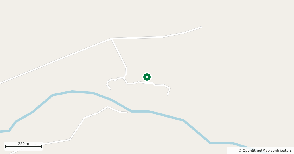
The nearest villages, al-Ajaylat and Umm Rwaq, are about six and a half kilometres to the west. There is no asphalt road. Across basalt and steppe, you need a local driver. South of the fort the ground falls to Wadi Mushannaf, which is also called Wadi Diyatheh locally. Nemara, Rome’s outermost post in the area, is 41 kilometres east; Sa’neh, the next link in the chain of forts to the south, is 10 kilometres south.
How the fort came about
The large tower at the south-west corner is unlike the others: bigger, built of smaller and carefully dressed stones, with no reused material. Scholars take it for a watchtower put up before the fort, most likely under Septimius Severus (193–211). The fort itself was built around 300, probably under Diocletian, as a quadriburgium, a fort with towers at its corners. It fell out of use in the 5th century, the 6th at the latest.
What to see
The fort is a rectangle of roughly 72 by 60 metres, or 240 by 200 Roman feet. There is a tower at each corner and an intermediate tower halfway along the long west and east walls; apart from the south-west one, all the towers measure about 5 by 5 metres. The main gate sits in the middle of the south wall, guarded by two towers; to the north is a smaller gate without towers. Only two small Roman buildings have been identified inside, one of them read as the headquarters. The rest of the courtyard probably held tents and light shelters.
Village, wells and mills
Just south of the fort lies a village of nearly 10 hectares, where 102 ancient buildings have been counted. In the 1985–1989 survey some of them could have been lived in again with little repair. Most houses combined living space and stabling, with roofs of long basalt slabs resting on corbels. The eastern slopes of the mountain get little rain, so no cisterns were built; water was drawn from wells in the valley, and in the survey three of the four were still in use. Floodwater from the wadi was led into channels irrigating some 1200 hectares of fields and into water mills. There are three cemeteries north of the village. During the Great Syrian Revolt, rebels sheltered in the ruins and French artillery at al-Ajaylat shelled the fort.
Who studied it
René Dussaud came in March 1901. He described a deserted village of basalt-slab houses in the Hauran tradition. East of it stood a rectangular fort with small towers at the corners and halfway along the side walls. He also praised the water of the stream coming down from the mountain. Howard Crosby Butler’s Princeton expedition came in 1904 and drew the first plan. Antoine Poidebard published the first aerial photograph of the site in his book of 1934. François Villeneuve led four seasons of surface survey and measurement between 1985 and 1989. Nobody has excavated.
What not to miss
The tower at the south-west corner. Its sides exceed 10 metres, twice those of the other towers, and it projects entirely outside the wall instead of into it. The difference in stonework shows up close: the rest of the fort is rough basalt blocks and reused stone, this tower small, neatly cut stones with rounded edges. It is the sign that the tower is about a century older than the fort around it.
Where it stands now
Diyatheh lies on the eastern desert edge of Suwayda governorate, which has been inside an armed conflict since July 2025. The present condition of the site cannot be confirmed from independent sources, and access to the region is not regular. This page tells you what Diyatheh is; it does not tell you that you can go there today.
Tips
- Do not go without a local driver; there is no asphalt and tracks vanish in the steppe
- Head to the south-west tower first; the difference in stonework is there
- Carry water and fuel; there is no ticket office or shop anywhere near
Transparency
- How this was chosen
- Written by hand; opening hours, entry fee and coordinates are kept as data. A field that is not known for certain is marked as variable rather than guessed.
- Facts checked
- September 2026
- Last updated
- September 15, 2026