Gemarrin Roman Bridge
The Roman bridge where the road from Bostra to Suwayda crossed the Wadi Zeidi north of Bosra: three basalt arches, flood walls and a 2nd-century villa nearby.
- Opening hours
- Open ground, daylight hours; current access not verified
- Entry
- No known ticket office
- Duration
- 60 minutes
- Best time
- Morning; there is no shade in the wadi or the fields around it
- Period
- Roman
- Address
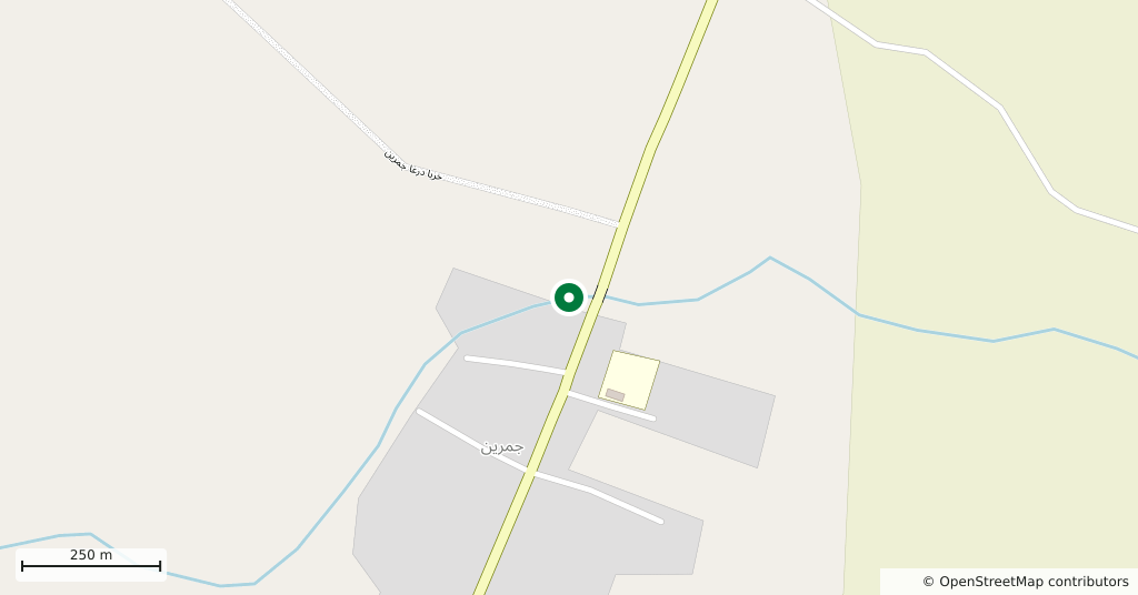
- North of Jemarrin village, north of Bosra, Daraa province
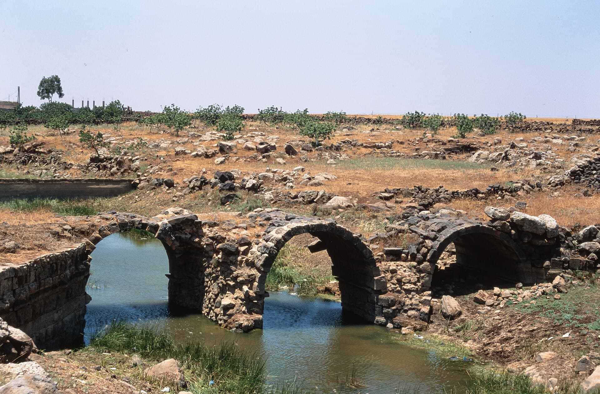
A Roman bridge crosses the Wadi Zeidi at the northern edge of the village of Jemarrin, a few kilometres north of Bosra. It carried the road from Bostra to Soada Dionysias, today’s Suwayda. What stands now is the skeleton of the structure: three semicircular arches of local basalt, built with wedge-shaped voussoirs. The roadway and the fill between the arches are gone, leaving the tops of the vaults exposed.
Getting there
Take the road north from Bosra to Jemarrin. The bridge is north of the village, where the road crosses the wadi. The Kharaba bridge lies six kilometres to the west as the crow flies, on the same wadi, and half a day out of Bosra covers both.
How long it takes
Half an hour for the bridge. Allow an hour with the Roman villa in the middle of the village.
What to see
Three arches, side by side. With the fill stripped out, the curve of each one can be read from above as well. German sources suggest the stone was most likely reused in the village. Arabic sources place the bridge in the same period as the bridge at Tayyibeh, dated to 164, on the strength of its similar build and style.
Do not miss
The walls on both banks. They run diagonally down from the edges of the wadi towards the bridge, built to steer floodwater into the bed under the arches instead of letting it spread. Most visitors look at the arches and leave. The real idea behind the design is in these walls.
The Roman villa in the village
A Roman villa of the 2nd century stands in the centre of the village. Its northern wing survives with a façade 40 metres long, and two of its several storeys remain. In the middle are large rooms roofed with arches, with a room of the same size above them; on each side are rectangular rooms and a large square room. The whole building was a square plan with a courtyard and porticoes, enclosed by a high wall with sides of 60 to 80 metres. Only foundations are left of the southern part, and they have never been restored. Arabic sources also record a church dedicated to Saint Stephen, built in the village in 543 during the Byzantine period.
The site today
The cover photograph dates from 1995. It shows water pooled under the arches and stone-strewn fields all round. The present state of the bridge and the villa could not be verified. The village is in Daraa province and access varies; ask locally in Bosra before setting out.
Tips
- Look at the diagonal flood walls on both banks before the arches; that is where the design lies
- Add the 2nd-century villa in the village centre; its northern façade is 40 metres long
- The Kharaba bridge is on the same wadi, six kilometres west; both fit into half a day
- The tops of the vaults are exposed and the stone is loose; do not climb onto the arches
Transparency
- How this was chosen
- Written by hand; opening hours, entry fee and coordinates are kept as data. A field that is not known for certain is marked as variable rather than guessed.
- Facts checked
- September 2026
- Last updated
- September 15, 2026