Hibran: Roman Temple and Reservoir
A village at 1400 metres south of Suwayda: a plundered Roman temple with inscriptions of AD 47 and 155, a priest of Allat on record, and a basalt-shored dam lake.
- Opening hours
- Open village and lakeshore, daylight hours; current access not confirmed
- Entry
- No known ticket office
- Duration
- 60 minutes
- Best time
- Spring or autumn; winters are harsh at 1400 metres
- Period
- Roman
- Address
- Hibran village, south of Suwayda
A Druze village south of Suwayda, at 1400 metres, ringed by apple orchards and vineyards. People come for two things: a heavily plundered but well-documented Roman temple, and the village reservoir. Little of the temple still stands. What you walk through here is not a building. It is scattered pieces and the history they record.
Getting there
South from Suwayda on the upland roads. The village sits at a junction linking the surrounding villages. Al-Kafr lies to the north and al-Qurayya to the south-west, both close enough to see on the same day.
What is left of the temple
A Princeton University expedition first documented the temple in the early 20th century. The building was stripped heavily for its stone. Its plan is hard to read now. Capitals, column pieces and the remains of niches point to a distyle in antis plan: two columns at the front, set between the ends of the side walls. One inscription dates the construction to AD 155 but does not name the god. Altars found at the site name several gods, Zeus and Athena among them.
What not to miss
The inscription of AD 47. It records a temple door being built in the time of a priest of the Arabian goddess Allat. So this hill was sacred more than a century before the building of 155. The same site produced a Roman veteran’s dedication to the god Lycurgus and an eagle statue in Nabataean style. Colonnade fragments once taken for Nabataean turned out to carry decoration typical of the rural temples of the Hauran.
The reservoir
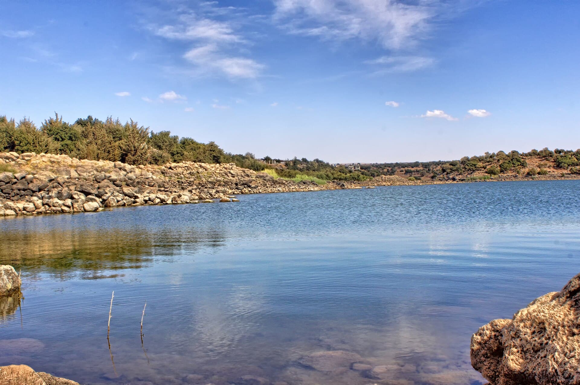
The dam lake on the edge of the village is ringed by shores of rock and basalt blocks and by wooded slopes. It is what the village is known for. No published source gives the year the dam was built or its capacity.
The village’s past
In the Ottoman tax register of 1596 the village appears as Hubran an-Nasara, with 23 households. In 1669–1671 its revenues were assigned to Muhammad Alam al-Din, a Druze emir who had fled Mount Lebanon. According to the historian Kais Firro, it was one of 28 Hauran villages settled by Druze before 1812. In the 1850s Ismail al-Atrash steered Druze migrants from Lebanon here and to other Hauran villages. The village has a Druze shrine, Maqam Baha al-Din, and the 2004 census counted 3166 people.
Where it stands now
Hibran is in Suwayda governorate, which has been inside an armed conflict since July 2025. The present condition of the temple remains and the village cannot be confirmed from independent sources, and access to the region is not regular. This page tells you what Hibran is; it does not tell you that you can go there today.
Tips
- Do not expect standing walls; look for capitals and niche fragments instead
- The lakeshore is covered in rock blocks; wear shoes with a firm sole
- Put al-Kafr and al-Qurayya on the same day; the three are close together
Transparency
- How this was chosen
- Written by hand; opening hours, entry fee and coordinates are kept as data. A field that is not known for certain is marked as variable rather than guessed.
- Facts checked
- September 2026
- Last updated
- September 15, 2026