Qatana
A district town 25 km southwest of Damascus at 879 metres, where Tamerlane made camp and the road to the Burqush and Rakhlah temples begins. Access note inside.
- Opening hours
- An open town, all day; places of worship open at service times
- Entry
- Free
- Duration
- 90 minutes
- Best time
- Spring, when the gardens are green and the springs are running
- Period
- From an Ayyubid-era record to the present; Ottoman and French Mandate periods
- Address
- Qatana, Qatana district, about 25 km southwest of Damascus, Rif Dimashq
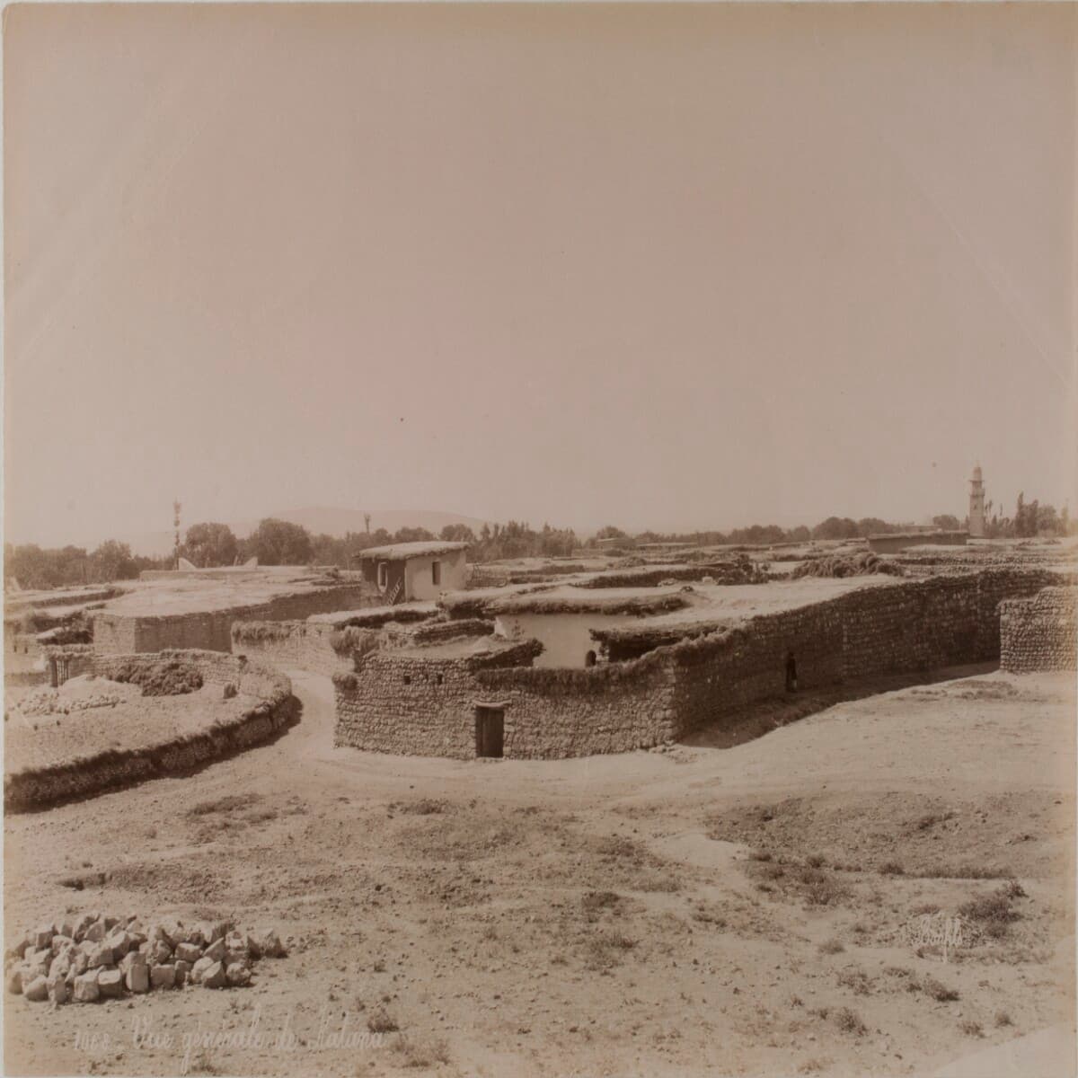
Qatana is a town at 879 metres, about 25 kilometres southwest of Damascus, and the centre of the district that shares its name. In the 2004 census it had nearly 34 thousand people. The road to the basilica at Burqush and the Roman temples at Rakhlah, on the flank of Mount Hermon, runs through it. The town has concrete history of its own: Tamerlane’s camp, a siege that gave a whole area its name, the 1925 revolt and an army camp in 1947.
Before you go
Syrian sources told Reuters that Israeli forces reached the town on 10 December 2024; Israel denied it. Reports from 2025 and 2026 mention air strikes near Qatana. Conditions on the roads to the town and up to the Hermon foothills keep changing. Check with a local source before you set out.
What to see
The Al-Omari Mosque is known for its wooden minaret. The Sheikh Hassan al-Rai Mosque, the Greek Orthodox Church of Saint Elias and the Syriac Catholic Church of Our Lady of Deliverance are in the same town. The population is mostly Sunni Muslim, with Greek Orthodox, Syriac Catholic, Druze and Alawite communities. Arabic sources also list the town’s waters: the Ras al-Nabaa spring runs like a stream, Ain Sultan and Ain Alaqit still flow, and Ain Fatira has dried up. The gardens grow olives, citrus, Damascus mulberries and pomegranates.
The name and the area’s past
In the early 13th century Yaqut al-Hamawi recorded Qatana as “one of the villages of Damascus”. According to Arabic sources, its name first appears in the year 126 of the Hijra, when a governor of Damascus fled an epidemic and took refuge here. Tamerlane camped at Qatana during his siege of Damascus in 1400-1401. That is why the area from Darayya to Kanakir came to be called Wadi al-Ajam, the Valley of the Persians; the term does not appear in sources before the siege. In the early 20th century the area was also known as Iqlim al-Ballan. The American missionary Eli Smith noted Qatana inside Wadi al-Ajam in 1838.
The twentieth century
During the revolt of 1925 the town’s government house was burned; it was rebuilt in 1930. In October 1947 the Syrian army began using Qatana as a training camp while preparing for the war in Palestine.
What most people miss
Ras al-Nabaa. The town’s name is usually linked with the army camp, yet what keeps the gardens alive is this spring, and from the promenade around it you look out over a waterfall. If you use Qatana as a starting point, a morning here and an afternoon on the Hermon foothills, permission and roads allowing, splits the day well.
Tips
- Check road conditions with a local source before you set out; the area has been unsettled since 2024
- You will know the Al-Omari Mosque by its wooden minaret
- If you are heading on to Burqush or Rakhlah, arrange permission before you reach Qatana
- Outside service times, ask the attendant at the door of churches and mosques
Transparency
- How this was chosen
- Written by hand; opening hours, entry fee and coordinates are kept as data. A field that is not known for certain is marked as variable rather than guessed.
- Facts checked
- September 2026
- Last updated
- September 15, 2026