Tell es-Salihiyeh (Tell Firzat), Damascus
The largest mound in the Ghouta, 15 km east of Damascus: 250 by 300 metres and 25 metres high, with Bronze Age walls. Its Aramaean king stele is in London.
- Opening hours
- Open ground; visiting arrangements could not be confirmed
- Entry
- Variable — check on site
- Duration
- 45 minutes
- Best time
- A spring or autumn morning; the top of the mound is exposed
- Period
- Bronze and Iron Age (Amorite, Aramaean)
- Address
- Eastern Ghouta, north bank of the Barada, 15 km east of Damascus, Rif Dimashq
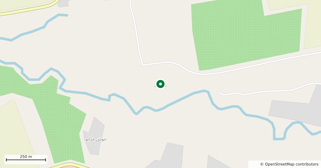
A mound on the north bank of the Barada, 15 km east of central Damascus, at 630 metres above sea level. It is oval, 250 by 300 metres, and rises 25 metres above the plain: the largest mound in the Ghouta, the oasis of farmland around Damascus. A fortified settlement from the start of the 2nd millennium BC to the 6th century BC, it was the strongest post in a ring of defences that shielded the oasis from raids out of the eastern desert. It has nothing to do with Salihiyeh, the district on the slopes of Mount Qasioun.
Why it is called Tell Firzat
The local name comes from Ferzad, a Muslim holy man whose domed tomb stood on the summit. The tomb appears in an engraving published by the missionary Porter in 1855; at the time of the 1953 dig a smaller grave stood in its place.
Its place in the Ghouta’s defences
The mound stands in the transition zone where the irrigated gardens end and the Marj grazing land to the east begins. To the south a smaller settlement, Deir Khabiyeh, did the same job. The Barada runs 100 metres south of the mound and comes within 20 metres of its foot on the southeast.
Who dug here
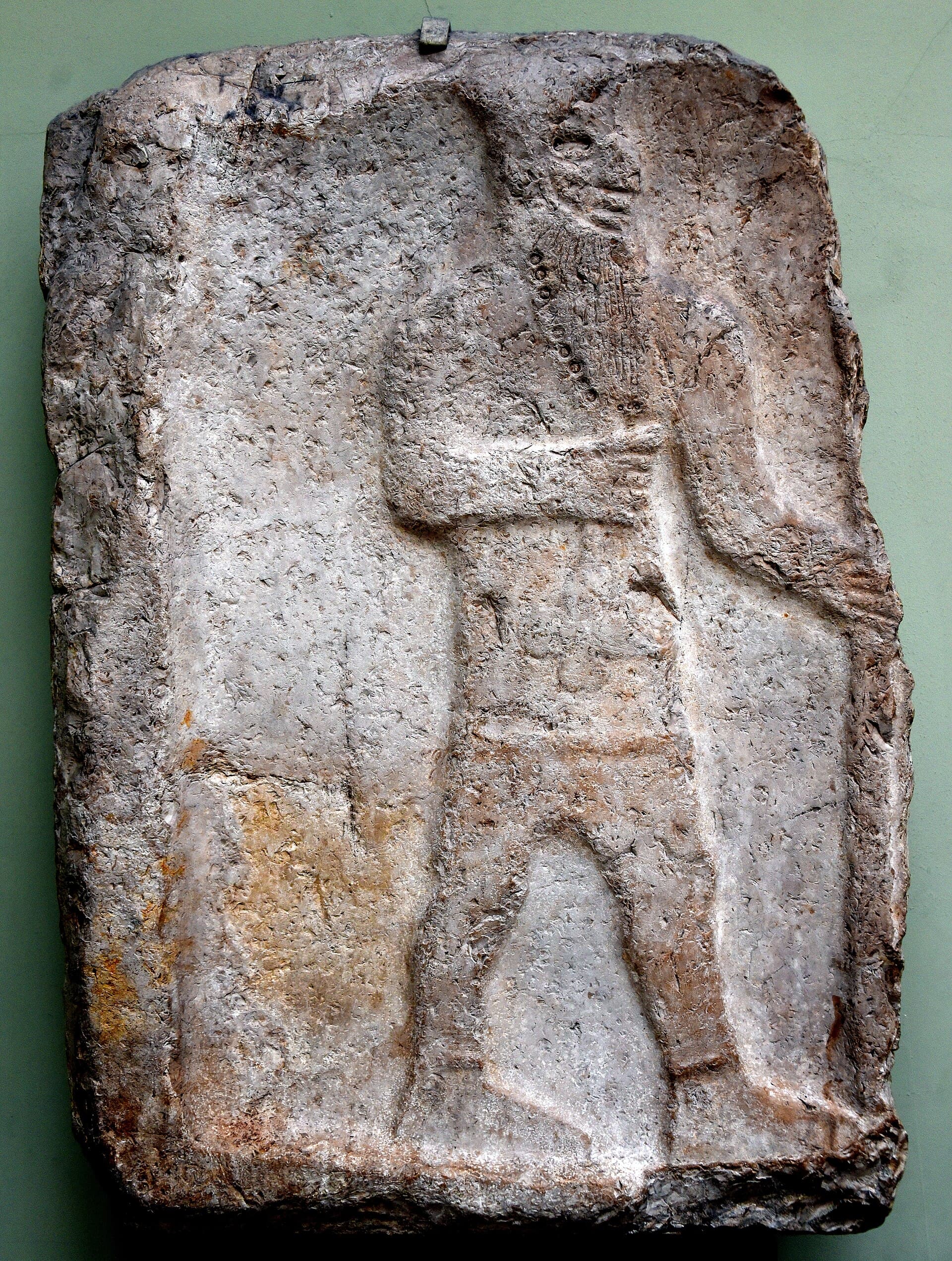
The first description is Porter’s. A stone relief he found, dated to 900-700 BC and showing an Aramaean king, reached the British Museum before 1870. In May 1866 E. T. Rogers, the British consul in Damascus, dug for two weeks with 10 and later 24 workers and found nothing of note. The only systematic excavation was by Hans Henning von der Osten for Uppsala University, from January to May 1953: he cut a trench 5 metres wide on the north slope and identified 12 building phases.
What the trench showed
- The oldest phase, XII: its pottery is compared to Ugarit Middle 2 and Hama H, which places it in the 19th to 17th centuries BC.
- In phases VIII-IX, a wall almost two metres thick, preserved up to three and a half metres high. It may have been founded by the Amorites (Amurru); the destruction of phases VIII and VII is linked to the Sea Peoples.
- Above phase VII, a layer of ash more than a metre deep.
- In phases V and VI, walls from the Aramaean period.
- In phase III, fibulae, the safety-pin brooches of antiquity, from the 9th to 6th centuries BC.
What you see today
The mound itself and its southeast slope facing the Barada. The city’s outskirts have spread this far, and the area lay inside the Eastern Ghouta fighting of 2013-2018; the mound’s current condition and access could not be confirmed. The road beside it carries on east towards Dumayr.
Do not miss
The stele in the British Museum. Displayed in Rooms 57-59 in London, the limestone relief shows an unidentified bearded Aramaean king holding a staff. It is the mound’s best-known find and one of the few portraits of Aramaean kings to come from the Damascus basin.
Tips
- Do not confuse it with the Salihiyeh district of Damascus; ask for Tell Firzat
- The 1953 dig was on the north slope; look for traces of the wall there
- To see the stele, go to Rooms 57-59 of the British Museum
Transparency
- How this was chosen
- Written by hand; opening hours, entry fee and coordinates are kept as data. A field that is not known for certain is marked as variable rather than guessed.
- Facts checked
- September 2026
- Last updated
- September 15, 2026