The Ghouta
The oasis wrapping Damascus to the east and south: orchards fed by the Barada, apricot and walnut country, and the belt most changed by war and sprawl.
- Opening hours
- Open country; access to individual towns depends on local conditions
- Entry
- Free
- Duration
- 180 minutes
- Best time
- Late May and June, during the apricot harvest
- Address
- East and south of Damascus
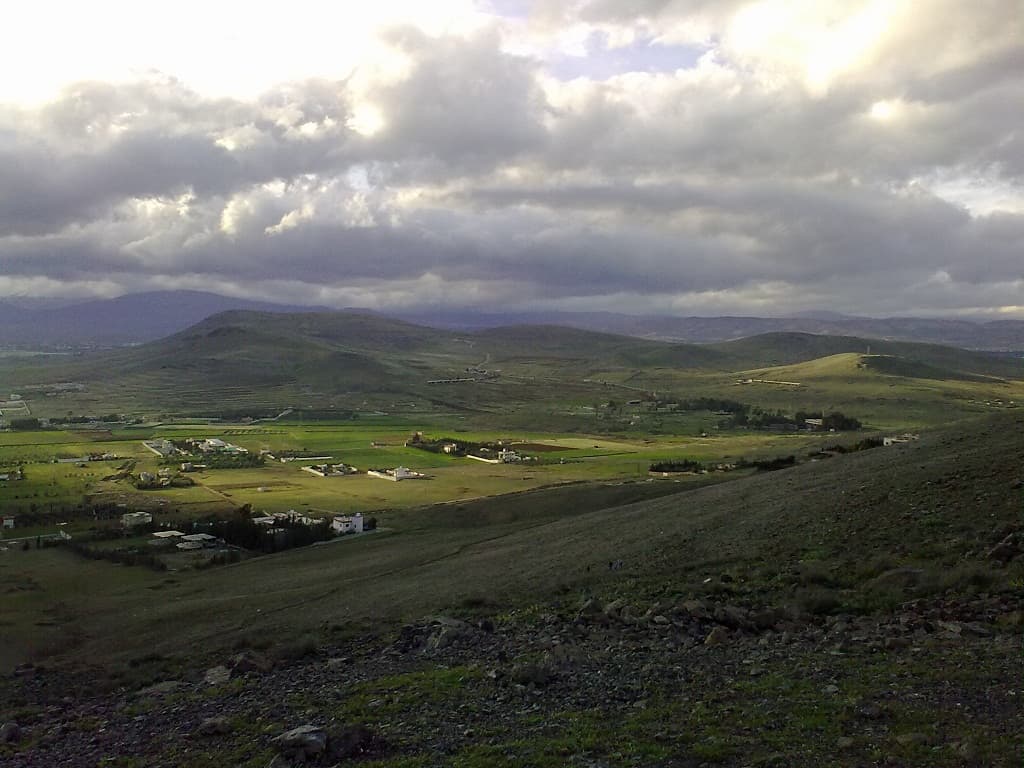
Damascus is a city built at the edge of an oasis, and the oasis is called the Ghouta. The Barada flows east of Mount Qasioun and divides into seven branches; canals spread that water across the eastern and southern approaches to the city, and the result is a green belt inside dry steppe. The Ghouta is not one place but a region of gardens, orchards and farming villages. Most of the apricots, walnuts, mulberries and olives in the markets of Damascus come from it.
Getting there
The Ghouta has no gate. It begins at the edge of the city. Any road running east or south out of the walls reaches the line of orchards within 10 kilometres. Take the road from Damascus towards Douma, or the southern road towards al-Kiswah, and gardens and greenhouses appear on both sides. This is not a trip in itself. It is the view from a journey out of the city.
What to see
Irrigation channels, fruit orchards, growers setting up stalls at the roadside. Apricots are picked in late May and June, walnuts in autumn, and in season the roadside stalls sell them below market price. In the west and south, farming continues and the land is still largely green.
How it stands today
Two separate things shrank the Ghouta. The first is sprawl: from the eighties onwards housing and industry spread over farmland, and the irrigated area, which once reached 370 square kilometres, contracted. The second is the war. Eastern Ghouta was under siege from 2013 and returned to government control in 2018, and towns such as Douma, Harasta, Zamalka and Ain Tarma suffered heavy structural damage. Before the war the region held roughly 2 million people; a 2017 estimate put the figure near 400 thousand. Those towns are now in the stage of clearing rubble and resettlement. They are not sights and should not be treated as such. The orchards of the western and southern Ghouta are working.
History
The Jerusalemite geographer al-Muqaddasi, who died in 991, lists the Ghouta as one of six rural territories belonging to the district of Damascus. Under Ottoman rule most of the land lay not with great landowners but with middle-class smallholders, an arrangement uncommon in the Levant, and it followed from the intensive, commercial nature of irrigated farming. The French administration mounted an operation here against Druze rebels in 1926. Syria’s first state farm collectives were set up in the Ghouta in 1965.
What most people miss
From the viewpoint on Mount Qasioun you can see the Ghouta whole: a dark green band that starts east of the city and runs to the horizon. On the ground it is impossible to see, because you are inside the orchards. Go up on your first evening in Damascus and look at where that band ends. Everything below makes more sense afterwards.
Tips
- Roadside stalls undercut the city markets in season; carry cash, cards are not taken
- Do not plan the Eastern Ghouta towns as stops; they are still being repaired
- To see the region whole, go up Qasioun; you cannot take it in from below
Transparency
- How this was chosen
- Written by hand; opening hours, entry fee and coordinates are kept as data. A field that is not known for certain is marked as variable rather than guessed.
- Facts checked
- September 2026
- Last updated
- September 15, 2026