Tishrin Dam and Reservoir on the Euphrates
Tishrin, finished in 1999, is the last Syrian dam on the Euphrates: a 40-metre wall, a 60 km lake over Neolithic mounds, and what is known about access today.
- Opening hours
- Power plant; visitor access could not be confirmed
- Entry
- Variable — confirm on site
- Duration
- 60 minutes
- Best time
- Spring or autumn, late afternoon; the lake changes colour as the sun sets
- Period
- Modern (1991–1999); mounds from the Neolithic to the Islamic period under the lake
- Address
- On the Euphrates, about 90 km east of Aleppo
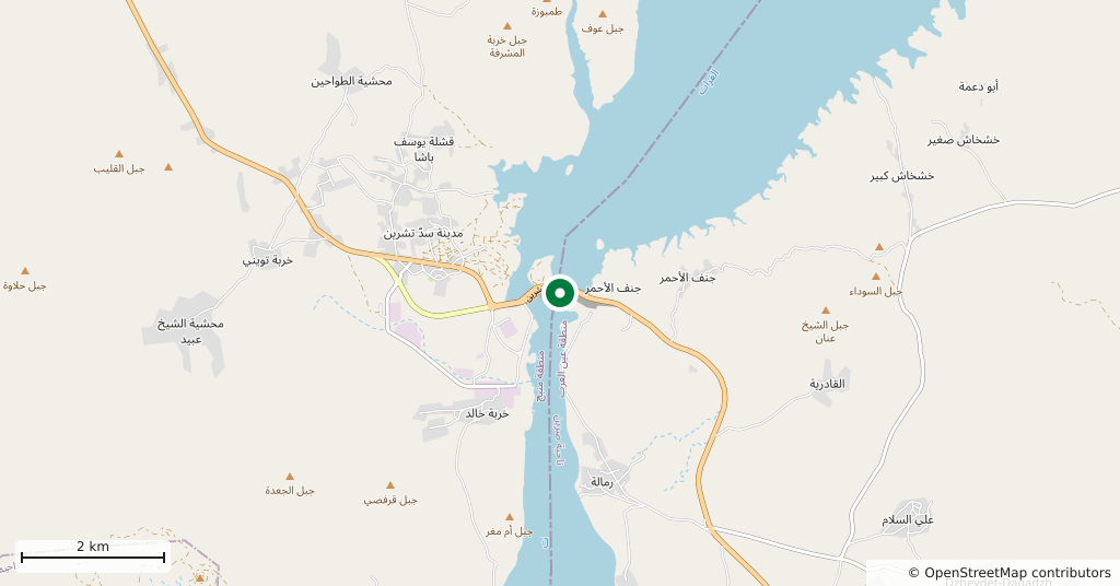
The Tishrin Dam is a hydroelectric dam on the upper Syrian Euphrates, about 90 kilometres east of Aleppo. Its rock-fill wall, begun in 1991 and finished in 1999, stands 40 metres high, and behind it a lake stretches for about 60 kilometres. The water filled the valley up to Qalaat Najm on its shore and covered mounds ranging from the Neolithic to the Islamic period. This page covers the dam, the lake and the excavations beneath it; whether it can be visited today could not be confirmed.
Can you go there?
This is the most important point on the page. The dam is a strategic power plant, and no source from the last 12 months was found on visitor access to the wall or the shore. During the war it changed hands in 2012, 2014 and 2015, and between December 2024 and April 2025 there was fighting around it. Under an agreement of 12 April 2025 government security forces were stationed at the dam, and since January 2026 it has been under government control. An area that was a front line so recently carries a risk of unexploded ordnance: stay on the tarmac, and ask about the current situation in Manbij or Aleppo before setting out.
Why the dam was built
Syria built three dams on the Euphrates: Tabqa (1973), Mansoura (1986) and, last, Tishrin. The Tabqa Dam producing less electricity than expected was one of the reasons for a second power plant upstream. Tishrin runs six Kaplan turbines of 105 MW each, 630 MW in total, with a target output of 1600 million kilowatt-hours a year. The main wall is about 900 metres long. The name comes from Tishrin, the Arabic name for the month of October.
How far the lake reaches
From the dam the lake extends north towards Jarabulus for about 60 kilometres. The Euphrates is not its only source: the Sajur River, coming from the Manbij Plain, joins it from the right bank. Qalaat Najm, a castle about 20 kilometres to the north as the crow flies, now stands at the water’s edge; when it was built, the river ran far below in the valley. Do not confuse this lake with Lake 16 Tishrin near Latakia, which is a different body of water.
What lies under the water
Before the lake filled, rescue excavations were carried out at 15 mounds in the area. The oldest is Jerf el-Ahmar, where a French team dug a Neolithic village dated to 9200-8700 BC between 1995 and 1999. In 1999 the flooding was postponed by two weeks and three buildings were dismantled. The “White Monument” at Tell Banat, where the University of Toronto worked in 1988-1999, is now under water. Jerablus Tahtani was another of the excavated sites. At Tall Bazi only the citadel stayed above the water.
When to go
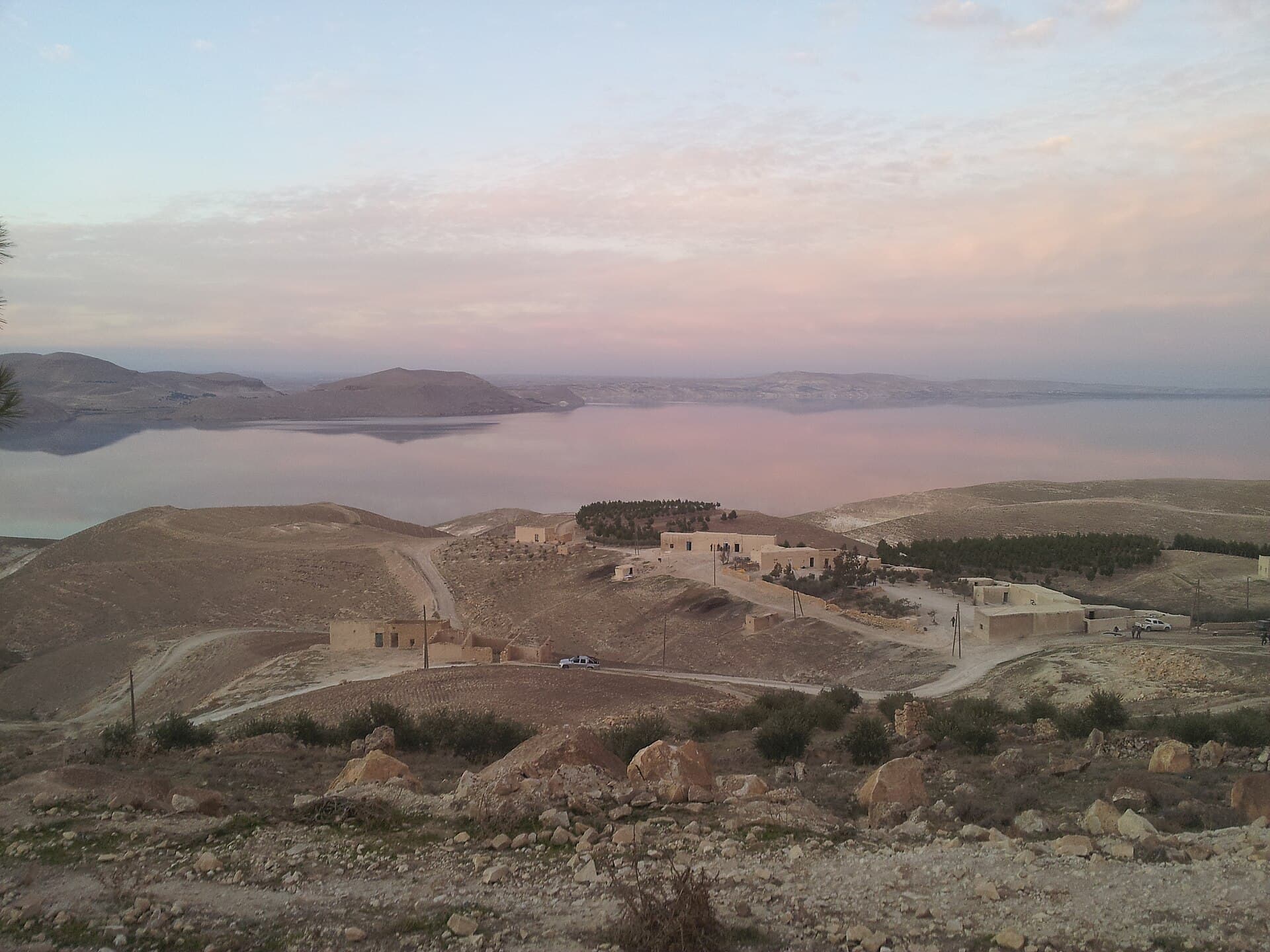
If access is open, spring or autumn. The cover photo was taken on an evening in December 2015, when the lake turns pink in the setting sun. In summer the steppe heat builds through the afternoon.
Do not miss
Qalaat Najm and the lake together. When the castle was built, the river flowed along the valley floor; today the water reaches the foot of the castle. Even if the dam wall is off limits, this is the place that shows most clearly how the lake changed the valley. Ask about access to the castle itself before you set out.
Tips
- Before setting out, ask in Manbij or Aleppo about the roads to the dam and the shore
- This was a conflict zone until recently; stay off unmarked fields and keep to the tarmac
- The dam wall is a strategic facility; ask the staff before taking photos
- Lake 16 Tishrin near Latakia is a different place; the names get mixed up when asking the way
Transparency
- How this was chosen
- Written by hand; opening hours, entry fee and coordinates are kept as data. A field that is not known for certain is marked as variable rather than guessed.
- Facts checked
- September 2026
- Last updated
- September 15, 2026