Aleppo from Citadel Square to al-Jalloum: Matbakh al-Ajami, the Sharafiyya and the Kawakibi foundation
A three-hour walk from Aleppo’s Citadel Square to al-Jalloum: the 1933 Serail site, Matbakh al-Ajami, the Sharafiyya, the 1583 Bahramiyah and a Mamluk hospital.
- Duration
- 3 hours
- Distance
- 2.3 km
- Difficulty
- Easy
- Best season
- March–May, October–November
- stops
- 6
- City
- Aleppo
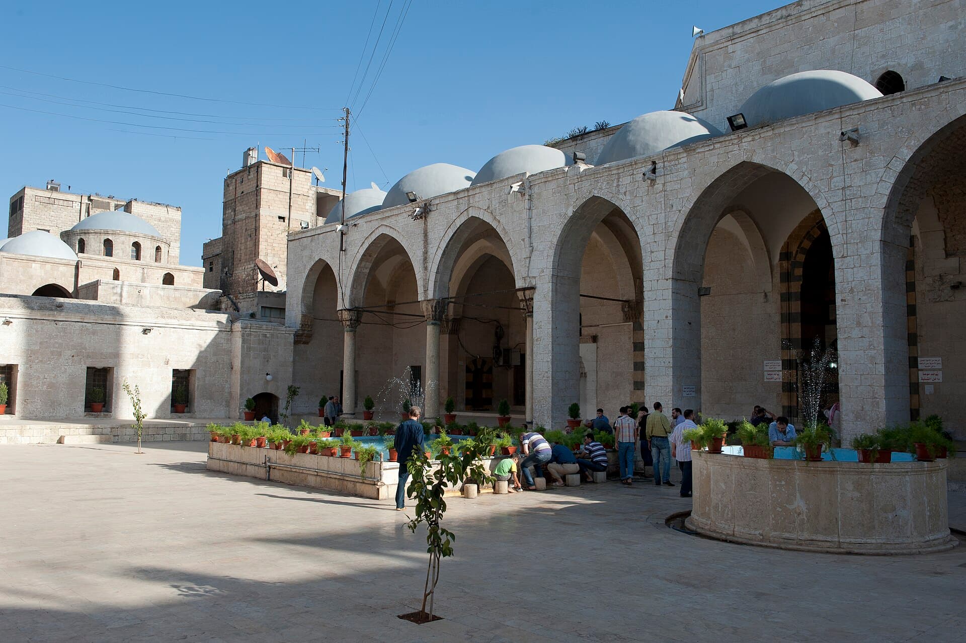
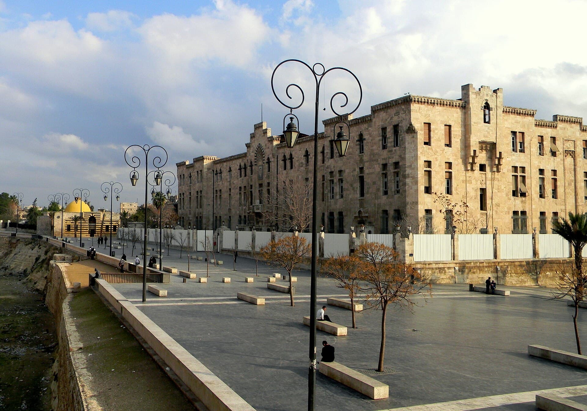
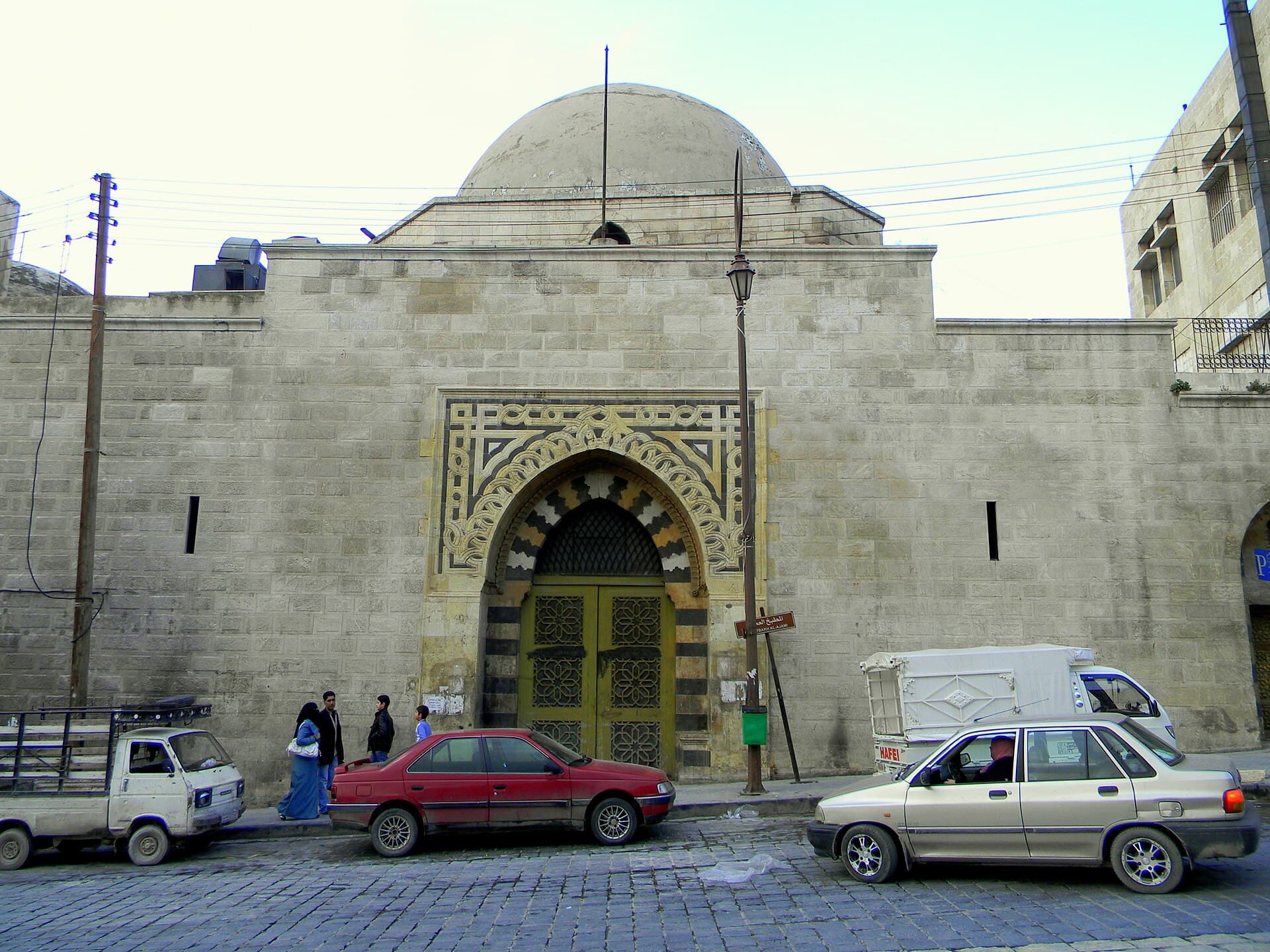
This walk runs from Citadel Square to the southern edge of the souq and on into the al-Jalloum quarter, and it shows three of the city’s institutions in turn: government, teaching and care. It starts on the square, at the site of the government house that opened in 1933 and was destroyed in August 2014. Next come the Matbakh al-Ajami, a palace surviving from the 12th century, and the Sharafiyya madrasa, whose construction ran for forty years. In al-Jalloum stand the Bahramiyah Mosque of 1583, the Kawakibi family’s endowment cluster of mosque, tomb and madrasa, and the Bimaristan Arghun, a hospital founded in 1354. A little over two kilometres, six stops, three hours.
The route
The Grand Serail stood just south of the citadel, next to its main entrance; the Sultaniyya madrasa to the west and Hammam Yalbugha to the east mark the spot. From here cross the square westwards and take the street that runs down to the Great Mosque. The Matbakh al-Ajami is at the end of a walk of close to 800 metres, opposite the Al-Sahibiyah Mosque and Khan al-Wazir. Go through the souq to Souq al-Niswan, east of the Great Mosque; the Sharafiyya is a few minutes away, set back from the street. From here walk west through the souq: the Bahramiyah Mosque is close to 400 metres on, and you enter it from the souq through a single door. From the Bahramiyah go south-west towards the line of the wall, into Jalloum al-Sughra; the Abu Yahya al-Kawakibi Mosque is close to half a kilometre away. From there walk north-east along the Bab Qinnasrin road; the Bimaristan Arghun is on the road, about 500 metres ahead.
Timing
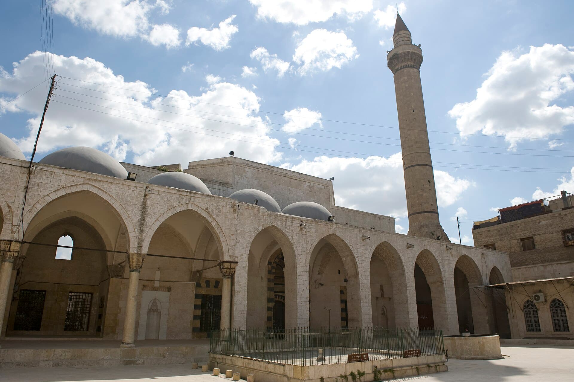
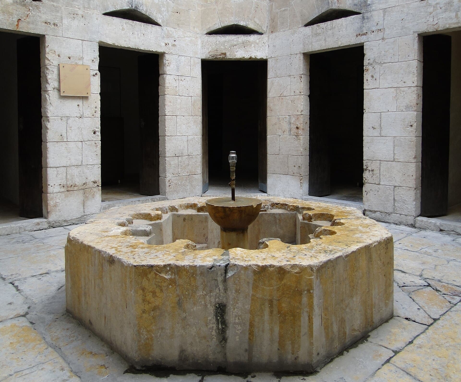
Be on Citadel Square, at the site of the Serail, at 09:00, and look south while the square is still empty; a quarter of an hour. At 09:30 you are opposite the Matbakh al-Ajami: cross to the far pavement to get the interlaced stone frame of the portal and the dome in one picture. A quarter of an hour. At 09:50, the Sharafiyya: look into the courtyard through the gap in the door as the market opens; twenty minutes. At 10:20 you are in the courtyard of the Bahramiyah. Look at the rows of cells behind the arcades and at the black-and-white stone courses on the door arches; twenty-five minutes. At 10:55, Abu Yahya al-Kawakibi: read the inscription at the head of the tomb, then climb the steps to the madrasa on the east side. Twenty-five minutes. At 11:30, the Bimaristan Arghun: look at the brass-clad door leaves before going in, then walk through to the courtyard with the octagonal pool. The route ends around 12:00.
Take care
There is no building at the Serail site; do not enter the ruins. Whether the interior of the Matbakh al-Ajami is open has not been verified. In photographs from 2018 the portal was standing, with a shutter where the wooden doors had been; ask the shopkeepers. At the Sharafiyya, restoration and ownership can change, so check access on the spot. The detailed description we have of the Kawakibi cluster is a hundred years old; ask at the door which parts still stand. Al-Jalloum was on the front line from 2012 to 2016, and repairs in the souqs are still going on. If you enter a mosque, women need a head covering and shoes come off at the door. The Bahramiyah and the Kawakibi Mosque are free; at the Matbakh al-Ajami, the Sharafiyya and the Bimaristan the fee varies, so check at the entrance. Do not turn into closed lanes or enter ruined buildings.
The route on a map
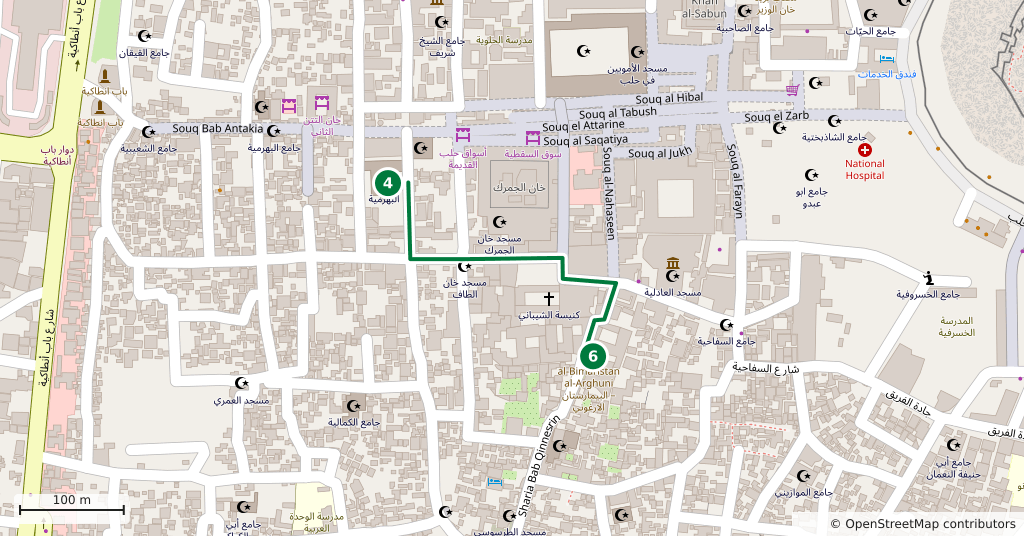
Stops along the route
- 01
- 02
- 03
- 04
- 05
- 06
Transparency
- How this was chosen
- The stops and their order were set by hand. The line on the map is real road geometry, not a straight hop between pins; distance and duration belong to that itinerary.
- Facts checked
- September 2026
- Last updated
- September 15, 2026