A day in the Qalamoun: Saydnaya, Maaloula and Jubb’adin
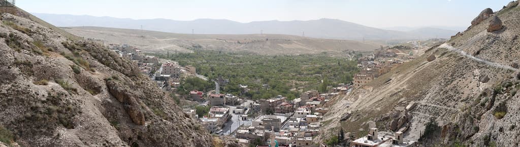
120 kilometres north of Damascus: a monastery on top of a rock, the two villages where Aramaic is still spoken, and the 6 kilometres of road between them.
- Duration
- 10 hours
- Distance
- 120 km
- Difficulty
- Moderate
- Best season
- April–June, September–October
- stops
- 3
- City
- Damascus
Western Aramaic is spoken in two villages in Syria today, and the two lie 6 kilometres apart. This day strings them together with a monastery in one line: out of Damascus, three stops in the Qalamoun, back by evening. 120 kilometres in all. What sets the order is altitude and crowds, not distance.
The route
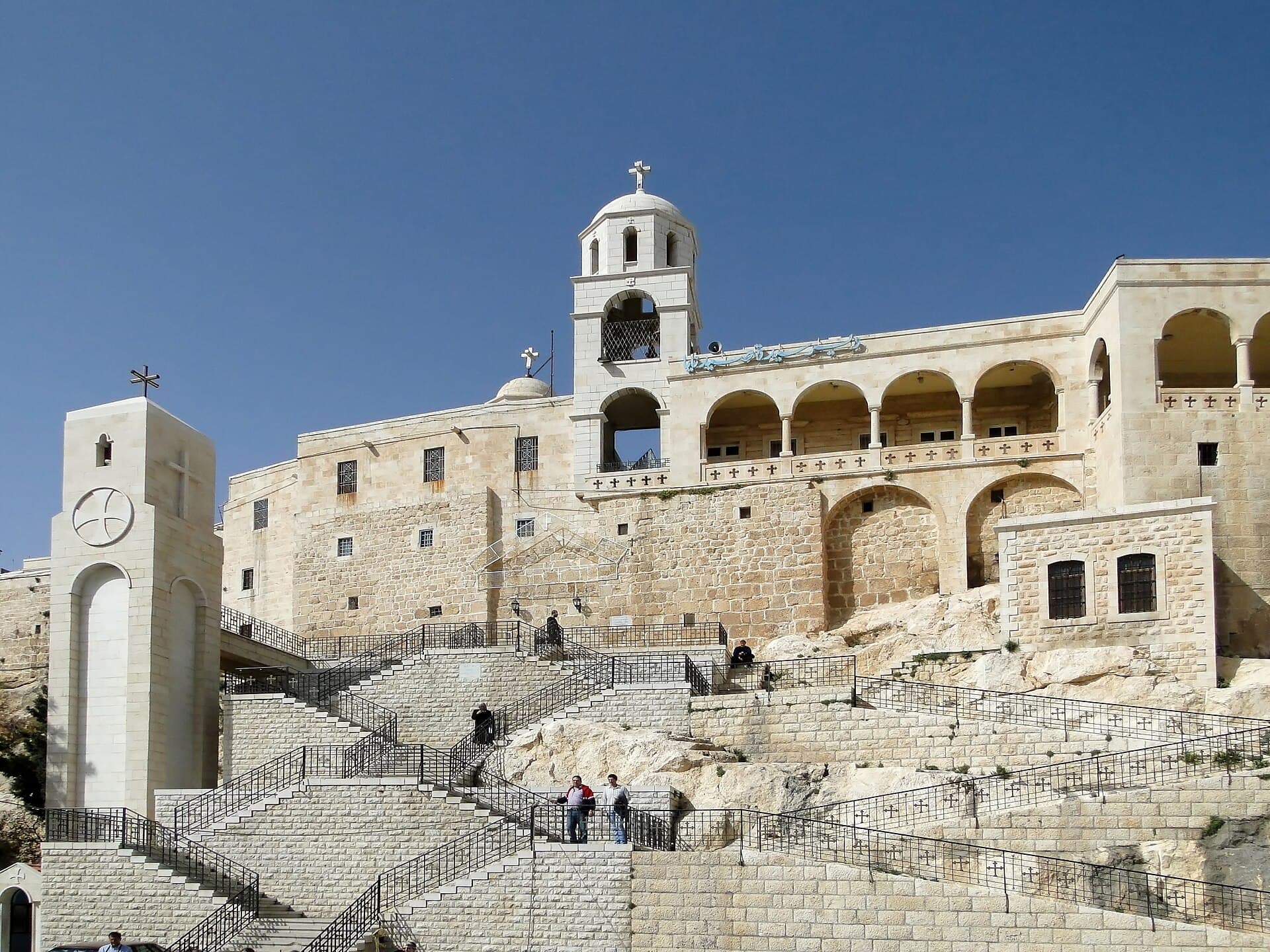
Leave Damascus heading north. Saydnaya is 30 kilometres on, and the monastery sits on top of the mass of rock above the town; you leave the car below and go up on foot. From there carry on north-east: Maaloula is 50 kilometres away, set against a cliff, with two monasteries and a gorge that cuts the rock from end to end. Walk the gorge the whole way through; do not turn back halfway. The last stop is west of it: Jubb’adin, 6 kilometres from Maaloula. This is the Muslim one of the two villages, and the everyday language is the same.
Timing
Leave Damascus at 08:00. Be at Saydnaya by about 09:00 — a queue forms at the chapel and the pilgrim coaches arrive in the afternoon. Do not go back down without climbing to the terrace, which is where the Qalamoun plain opens up. Reach Maaloula towards midday: the gorge is narrow, and at that hour the light drops straight in and both walls are lit. Ring ahead about the monastery hours, which change. Move on to Jubb’adin around 16:00 and take your time; there is no monument to see here, but there is a language to hear.
Take care
Do not ask anyone to speak Aramaic for you; sit in a coffee house or a shop, and listening is enough. Ask permission before photographing people. The gorge at Maaloula is stony and steep and needs shoes with grip; restoration is under way and parts may be closed. The altitude makes the evenings cool, so carry a light layer even in summer. In winter the road holds snow.
The route on a map
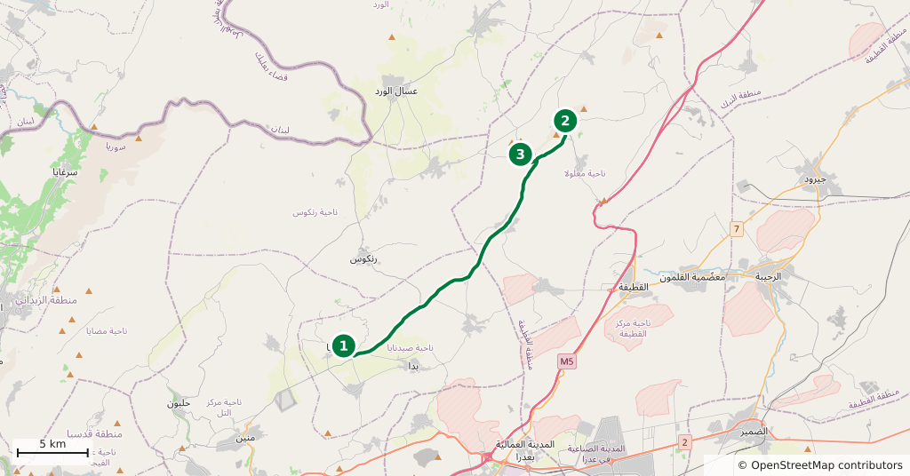
Stops along the route
- 01
- 02
- 03
Transparency
- How this was chosen
- The stops and their order were set by hand. The line on the map is real road geometry, not a straight hop between pins; distance and duration belong to that itinerary.
- Facts checked
- September 2026
- Last updated
- September 15, 2026