Behyo, a Dead City in Jebel al-A’la
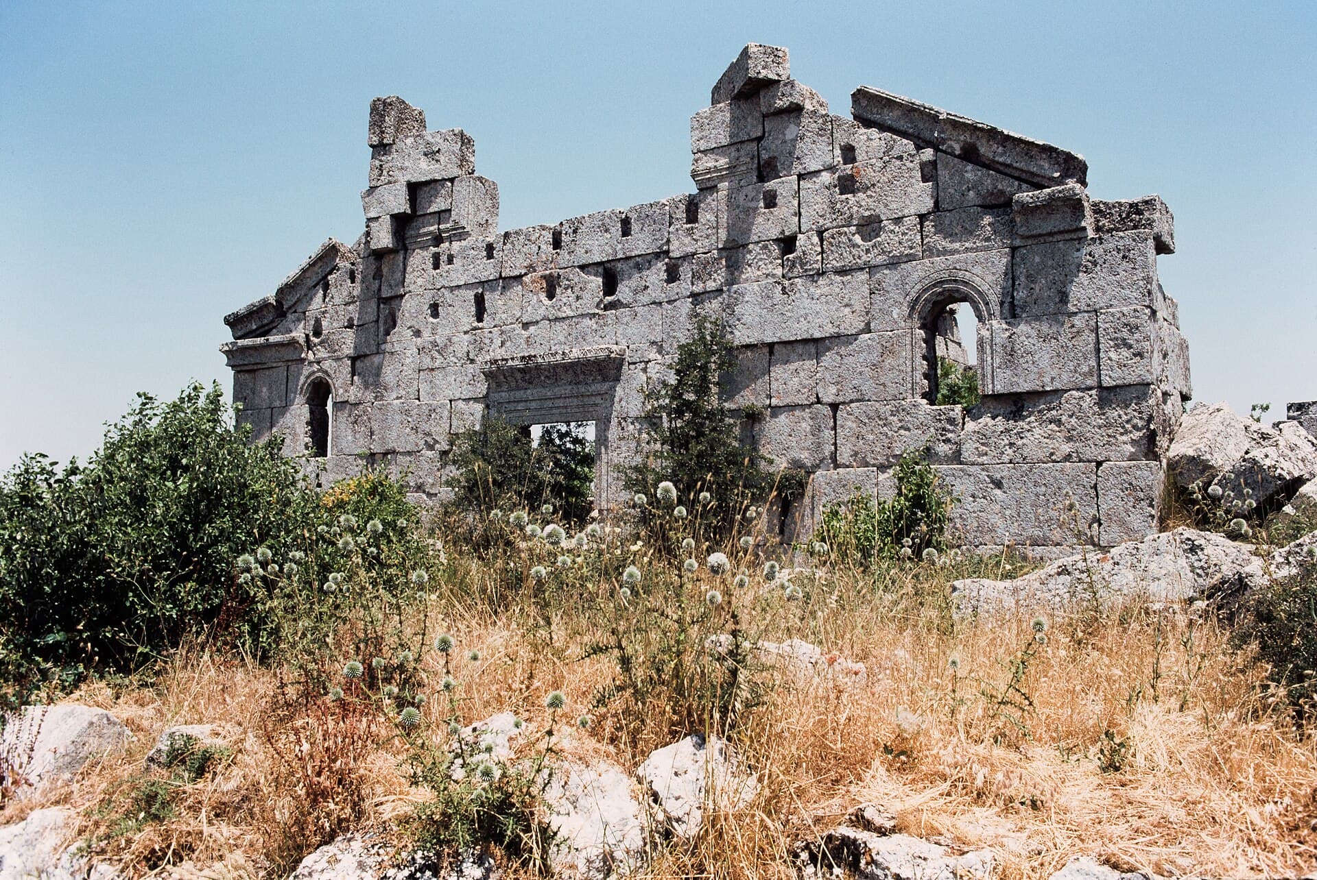
Two churches and olive presses on the crest of Jebel al-A’la. The west wall of the south-west basilica, its medallion lintel and horseshoe bema all survive.
- Opening hours
- Open site, daylight hours
- Entry
- Variable — confirm on arrival
- Duration
- 60 minutes
- Best time
- Spring, while the ground under the olives is green and before the heat
- Period
- Byzantine
- Address
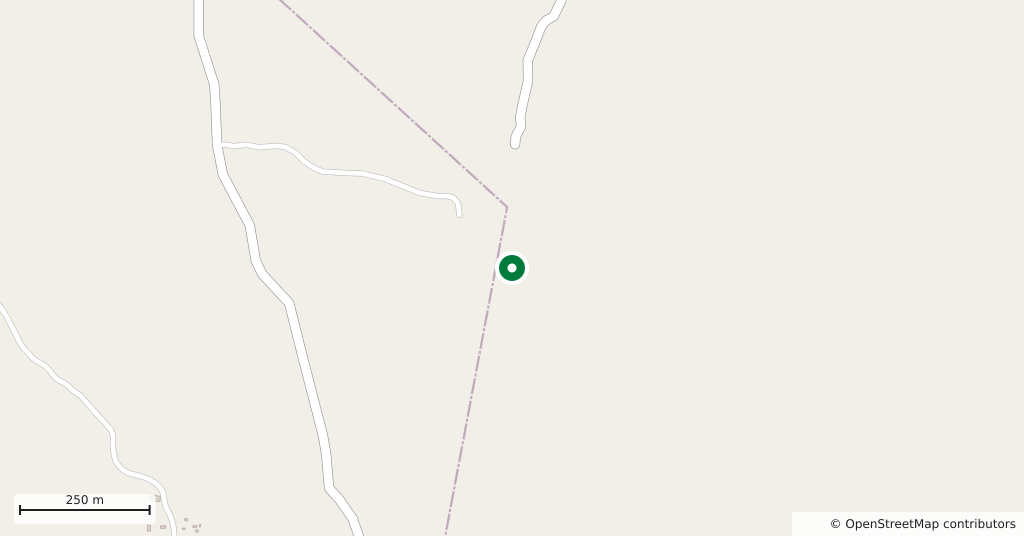
- Crest of Jebel al-A'la, near Qalb Lozeh, Harem district, Idlib
A ruined village on the crest of Jebel al-A’la, the highest ridge in this part of the massif. Behyo was settled late: there was no arable land here, and building only began in the 5th century, when olive oil prices rose and the trade passed into the hands of individual merchants. Today the ruins stand in the middle of a wide olive grove. The presses at the edge of the village are that trade itself.
Getting there
North-west of Idlib, in the Jebel al-A’la. The church at Qalb Lozeh is 2 kilometres north, and the two fit comfortably into one half day. There is no public transport; you hire a car and driver in Idlib, Harem or Sarmada. The last stretch is a dirt road and turns to mud after rain.
How long it takes
An hour. The two churches stand just east of the settlement; the presses and dwellings spread west. Walking the ridge takes another half hour, and only from up there do you see the plain below.
What you see
The south-west basilica dates from the middle of the 5th century. Its west wall and the north side of the apse are standing. The façade is plain: arched windows, a gable, and a doorway with a medallion on the lintel. The nave had five columns down each side, and the horseshoe-shaped bema in the middle — the raised platform where the clergy sat — can still be read on the floor.
The second church, to the north-east, dates from the early 6th century. Little survives of it, but the trace of the broad transverse arches that spanned the nave can be picked out. Between the two are buildings with decorated lintels whose function has not been settled, and scattered column capitals.
How it stands today
Behyo entered the UNESCO list in 2011 as part of the Ancient Villages of Northern Syria and was moved to the List of World Heritage in Danger in 2013. During the war years displaced families took shelter in the Dead Cities, and some put the stone buildings back into use. Do not walk into a structure someone is still living in, and do not photograph people without asking. Unexploded ordnance is a reported hazard in the countryside: stay on the path, keep out of collapsed buildings, and do not touch metal lying on the ground.
Don’t miss
The medallion on the doorway lintel of the south-west basilica. The rest of the façade is deliberately plain; all the carving is gathered into that single stone, and most visitors walk under it on their way to the apse without looking up.
Tips
- Qalb Lozeh is 2 kilometres north; put the two in one half day
- Look for the bema: horseshoe-shaped, on the floor in the middle of the nave
- The presses are on the west edge of the site, not around the church
- The last stretch is a dirt road; after rain you need a high vehicle
Transparency
- How this was chosen
- Written by hand; opening hours, entry fee and coordinates are kept as data. A field that is not known for certain is marked as variable rather than guessed.
- Facts checked
- September 2026
- Last updated
- September 15, 2026