Burj Haidar: a 4th-Century Basilica in a Vegetable Garden
A small Jebel Sem’an village with four churches. The columns of its 4th-century West Basilica stand in a vegetable plot, and a hermit’s tower rises 11 metres nearby.
- Opening hours
- Open site, daylight hours; the churches sit inside private gardens and yards
- Entry
- Variable — confirm on arrival
- Duration
- 45 minutes
- Best time
- Spring and autumn; there is little shade in the village at midday
- Period
- Byzantine
- Address
- Burj Haidar village, Jebel Sem'an, Afrin district, Aleppo
A lived-in village at 582 metres in Jebel Sem’an, 25 kilometres north-west of Aleppo. Its ancient name, Kaprokera, appears on a land-survey inscription dated 298. The present name comes from a landowner called Haydar who settled here about two centuries ago. This small settlement had four churches. The most important is the 4th century West Basilica in the middle of the village, one of the earliest church buildings in the limestone massif. The ruins are mixed in with modern houses, and some of them cannot be entered.
Getting there
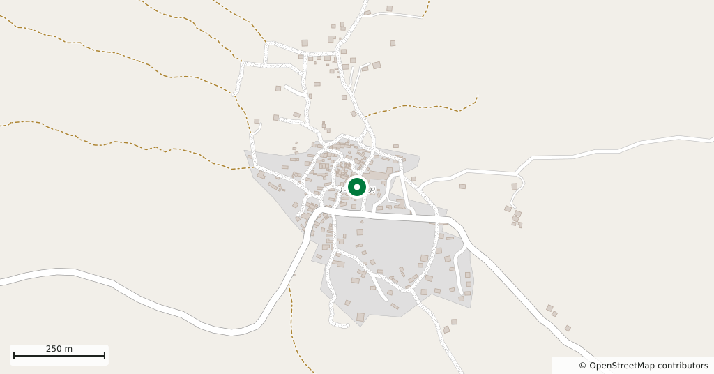
From Deir Semaan on the Aleppo–Afrin road, take the side road east up into the hills. Basufan is 3 kilometres to the west on the same road. Kafr Nabo lies 2500 metres north, Kalota 4 kilometres east and Fafertin 5 kilometres south, with Kharab Shams to the north. There is no public transport and no signpost in the village.
How long it takes
Forty-five minutes. The West Basilica and the tower are 100 metres apart inside the village; the chapel on the eastern edge is a few minutes’ walk.
What you see
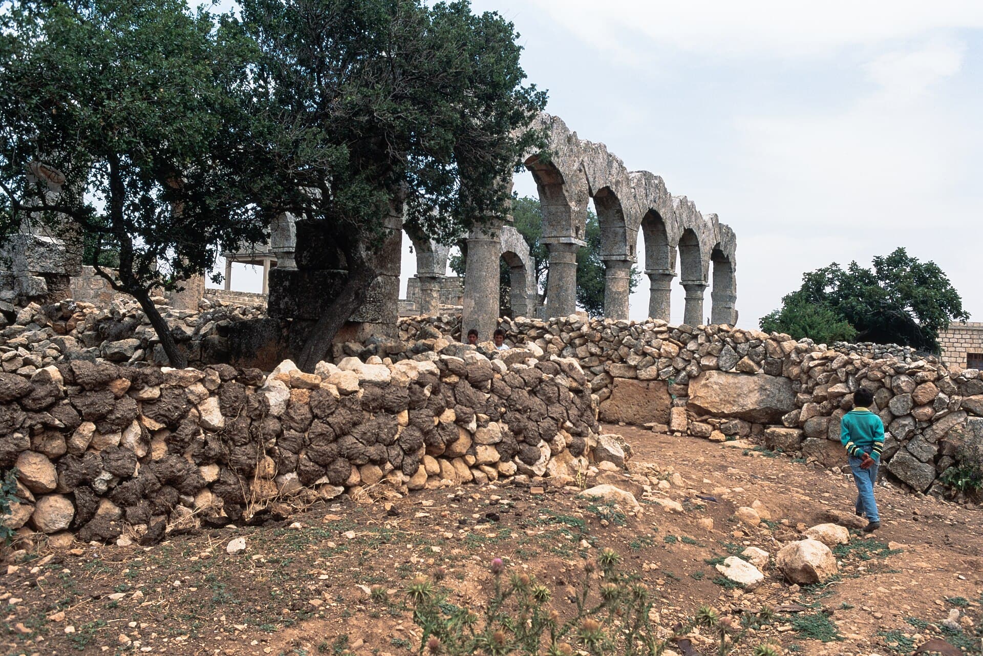
The West Basilica is a three-aisled columned church. Each side of the nave has six openings, and the rows of columns with Doric capitals still stand. The outer walls, though, have almost entirely gone: the church is squeezed into a vegetable garden between two village houses. Two doorways survive from the south wall, and the lintel of the western one carries an inscription. H. C. Butler described the building in 1905; Georges Tchalenko studied it in detail in 1941 and 1969. The closely set columns and low nave walls point to local masons who had little experience yet with arcades on columns.
On the eastern edge of the village, north of the road, stands a 6th century single-nave chapel that belonged to a monastery. Its outer walls are almost complete, and its round-arched windows are linked by a horizontal moulding whose ends curl into spirals. There is also an East Basilica with a horseshoe-shaped apse from the 5th or 6th century, and one more single-nave church of the 6th century. A large building on the western edge of the village served as a meeting hall or an inn.
The hermit’s tower
100 metres north of the West Basilica a square tower three or four storeys high, about 11 metres, is still standing. A Syriac inscription on its east wall gives the name “Lazarus the recluse”, and the tower is thought to have housed a hermit. In the Middle Ages it was turned into a defensive tower.
How it stands today
Burj Haidar is still a working village; the 2004 census counted 616 people. Olive groves surround it as they did in antiquity, and inside the village vegetables grow in small plots between stone walls. Some modern houses are built on top of ancient buildings, out of their stones. No recent damage report is known.
Don’t miss
The capitals of the West Basilica. Next to the acanthus-leaf capitals of later Jebel Sem’an churches, these plain Doric ones tell you at a glance how early this building is.
Tips
- The basilica is inside a vegetable garden; ask the owner before stepping in
- Look for the Syriac inscription on the east wall of the tower
- Kafr Nabo is 2500 metres north and Kalota 4 kilometres east; make a day of the three
- The ruins are mixed in with homes; do not photograph people without asking
Transparency
- How this was chosen
- Written by hand; opening hours, entry fee and coordinates are kept as data. A field that is not known for certain is marked as variable rather than guessed.
- Facts checked
- September 2026
- Last updated
- September 15, 2026