The Deir ez-Zor Suspension Bridge
The 450-metre footbridge that joined the banks of the Euphrates from 1931 to 2013. Four piers and snapped cables remain: what you can see, and what is not known.
- Opening hours
- Open ground; confirm access to the bank on site
- Entry
- Free — open riverbank
- Duration
- 30 minutes
- Best time
- Morning or late afternoon, to avoid the midday heat
- Period
- French Mandate · destroyed in 2013
- Address
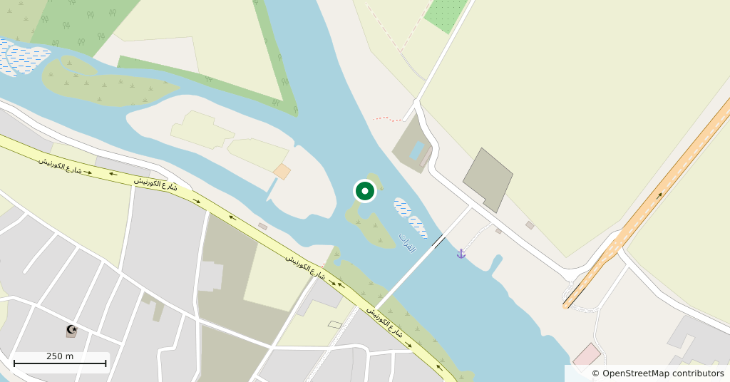
- Euphrates bank, city centre, Deir ez-Zor
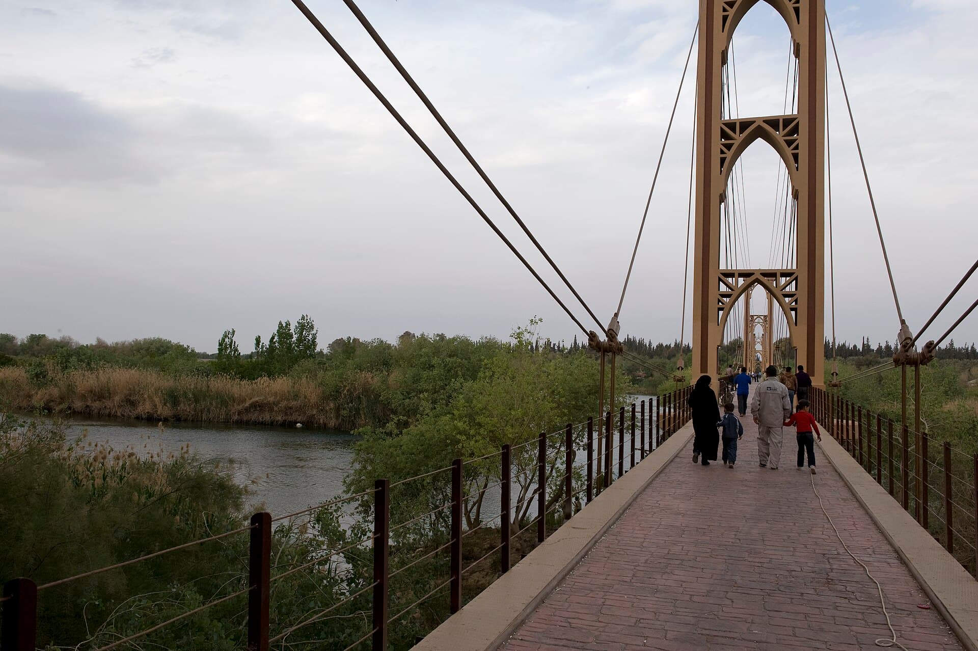
The Deir ez-Zor Suspension Bridge was a 450-metre footbridge linking the city centre to the north bank of the Euphrates, and the city’s best-known landmark. It collapsed in May 2013. Today its four piers still stand, with broken cables hanging from their tops. What you visit now is the skeleton of a bridge. It is still the first place to look if you want to understand how the city sees itself.
Who built it, and when
The French firm Fougerolle built it during the French Mandate. The Arabic Wikipedia says work began in 1925 and ended in March 1931. The English Wikipedia gives 1927, and the sources have not settled the difference. The Arabic source gives these measurements: 450 metres long, 4 metres wide, and four stone piers each 36 metres high.
What it meant to the city
Electric lights came in 1947. In 1955 it was painted yellow. Until 1980 it carried vehicles too. An attendant stood at each end, and the two phoned each other to send cars across one at a time. That year it was closed to cars and motorcycles and became a bridge for people on foot. In Deir ez-Zor, wedding processions traditionally walked the bride across it.
How it fell, and its state today
In May 2013 the third pier was hit by artillery fire. The cables snapped. The whole deck fell. The Arabic and English Wikipedia both attribute the shelling to the Syrian army. A news report from May 2025 said rebuilding had not started and people were crossing the river by boat. This page could not confirm anything later; if work has begun, access to the bank may have changed.
An academic study has been published on restoring the bridge and strengthening it against earthquakes. A documentation project, the Deir ez-Zor Heritage Library, is also recording the bridge and the city’s historic buildings.
Getting there and how long it takes
The southern end of the bridge is in the city centre. Seeing the piers and cable anchorages from the bank takes about half an hour. The bank is thick with reeds and steep in places.
What not to miss
The pointed-arch frames at the top of the piers. Photographs from 2020 show them still in place. While the bridge stood, the eye went to the deck and the cables; with the deck gone, this French-built outline stands on its own. The short stone posts at the bridgehead carry the marks of the fighting.
Tips
- If rebuilding has started the area may be closed; ask in the city before going
- The bank is reedy and steep in places; watch your footing near the water
- Keep clear of the snapped cables and the base of the piers; the remains have not been repaired
- If you cross by boat, agree the fare before getting in
Transparency
- How this was chosen
- Written by hand; opening hours, entry fee and coordinates are kept as data. A field that is not known for certain is marked as variable rather than guessed.
- Facts checked
- September 2026
- Last updated
- September 15, 2026