Kharaba Roman Bridge
A three-arched Roman bridge in black basalt over the Wadi Zeidi, 6 kilometres north-west of Bosra: its measurements, where to look and its place on the Hauran roads.
- Opening hours
- Open ground, daylight hours; current access not verified
- Entry
- No known ticket office
- Duration
- 40 minutes
- Best time
- Early morning; there is no shade in the wadi bed
- Period
- Roman
- Address
- Beside Kharaba village, about 6 kilometres north-west of Bosra, Daraa province
A Roman bridge crosses the Wadi Zeidi, a tributary of the Yarmouk, beside the village of Kharaba north-west of Bosra. It has three semicircular arches. The arches and the facing are cut basalt, nearly black with a greenish tinge in places. The bridge still stands, sources describe it as in fairly good condition, and of the three Roman bridges left on this wadi it is the most complete.
Getting there
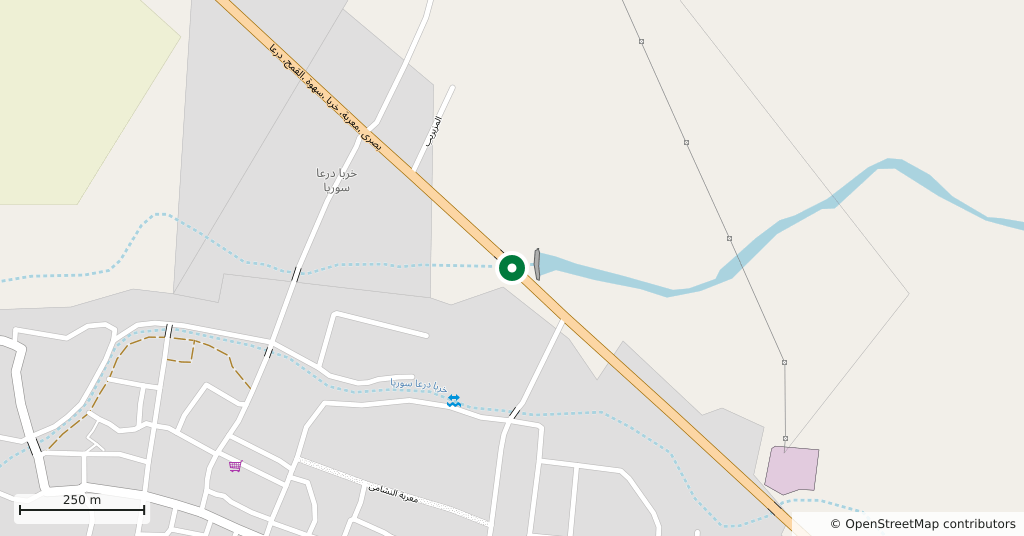
Take the road north-west from Bosra towards Kharaba. The bridge is about 6 kilometres outside the town. The modern road crosses the wadi at the same point, and the bridge drawn on online maps is most likely the modern road bridge; the Roman structure coincides with it or sits right beside it. To see the arches you have to stop at the roadside and walk down to the wadi bed.
How long it takes
Forty minutes is enough. Most of that goes on crossing to both banks to look at each face of the arches and at the flood channel on the east side.
What to see
The three arches each span 380 centimetres and rest on piers 240 centimetres thick. The piers rise 250 centimetres to the springing of the arches, and the bridge is 452 centimetres wide. Vaults and facing are basalt throughout. Roman builders rarely bridged in basalt, but in the Hauran it was the stone to hand.
Its place on the Hauran roads
In 106 Rome absorbed the region into the new province of Arabia. Bosra, ancient Bostra, became its main city and the base of the Legio III Cyrenaica. In country cut up by wadis, army and caravan roads needed permanent bridges. At least two more Roman bridges survive on the Wadi Zeidi, at Gemarrin and at Tayyibeh.
Do not miss
The small opening at the east end. Beside the arches there is a square channel for floodwater, its top carried on a column with a capital. From the road you cannot see it. Note the width too: 452 centimetres is exactly the width of the bridge at Nimreh, south-east of Shahba. The sources record the match but do not explain it.
The site today
The accounts of the bridge in good condition predate the conflict. The area around Bosra is in Daraa province, where there were security incidents in 2025 as well. The present state of the bridge and of road access could not be verified; ask locally in Bosra before setting out.
Tips
- Look for the square flood channel at the east end and the capital-topped column that carries it; it is invisible from the road
- Walk down into the wadi bed to see the arches; the modern road bridge crosses at the same point
- The Gemarrin bridge is on the same wadi, six kilometres east; both fit into half a day
- Ask about the road and the local situation before leaving Bosra
Transparency
- How this was chosen
- Written by hand; opening hours, entry fee and coordinates are kept as data. A field that is not known for certain is marked as variable rather than guessed.
- Facts checked
- September 2026
- Last updated
- September 15, 2026