Kobani (Ayn al-Arab)
Kobani grew up beside a Baghdad Railway station built in 1912: the old name Arab Punar, a border drawn along the tracks in 1921, and rebuilding since 2015.
- Opening hours
- The town at any hour; border gate hours vary
- Entry
- Free; there is no ticketed site
- Duration
- 90 minutes
- Best time
- Spring or autumn, in the morning
- Period
- Late Ottoman — French Mandate — present
- Address
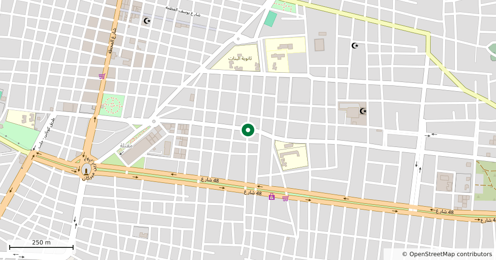
- Kobani (Ayn al-Arab), north-east Aleppo Governorate, on the Turkish border
Kobani, also known by its Arabic name Ayn al-Arab, is a district centre just south of the Turkish border. The town began beside a railway halt: in 1912 a simple station was built on the Baghdad Railway, and the settlement grew up to the south of it. Before the war its population was close to forty-five thousand.
Where the name comes from
Ottoman records call the place Arab Punar, the Arabs’ spring. The spring was a creek that ran east of the village, where Arab herders brought their flocks in summer. Ayn al-Arab is the Arabic translation of that name. One theory traces Kobani to the German railway company that built the line, from the word for company; the explanation is disputed.
The railway and the border
German engineers who stayed in the area in 1912 and 1913 described Arab Punar as a small village of domed mudbrick huts, about 35 kilometres east of the Euphrates. The station was built by workers from nearby Suruç. Armenian refugees settled in the new town around 1915. In 1921 the border was drawn along the railway, and the northern part of the settlement was left on the Turkish side. That part is Mürşitpınar, which still has a small station and a border gate. For years people from Kobani crossed there to catch the train to Aleppo.
The Mandate years and after
Much of the street plan was laid out and built by the French Mandate authorities. By the middle of the 20th century the town had three Armenian churches and two schools; many Armenians left in the 1960s for Soviet Armenia, Aleppo and Beirut. The small lake north of the town dried up in the same decade.
The siege and today
From September 2014 to January 2015 the town was besieged by the Islamic State group (ISIL). Most of the eastern neighbourhoods were destroyed and most of the population crossed into Turkey. Return and rebuilding began in 2015.
What is nearby
Arslan Tash, Shêran in Kurdish, is an ancient Assyrian site close by. In the summer of 1883 a French-led team on its way there was put up by Kurds living on the plain east of today’s town. Jarabulus and the station in Aleppo belong to the same railway story.
What most people miss
How the border and the town fit together. The line follows the railway, so the track that created Kobani is the same line that now separates it from its northern twin. The station side, Mürşitpınar, is in Turkey.
Tips
- The crossing and road arrangements change; check before you set out
- Ask before photographing homes and people
- The town has two names; signs and directions use both Ayn al-Arab and Kobani
Transparency
- How this was chosen
- Written by hand; opening hours, entry fee and coordinates are kept as data. A field that is not known for certain is marked as variable rather than guessed.
- Facts checked
- September 2026
- Last updated
- September 15, 2026