Qal’at al-Rahba
A mudbrick fortress on a mound at the desert edge of the Euphrates valley, by Mayadin. It held the road from Iraq into Syria and was fought over for four centuries.
- Opening hours
- Open site, daylight hours
- Entry
- Variable — confirm on arrival
- Duration
- 90 minutes
- Best time
- Late afternoon, when raking light gives the mud brick its colour and the mound cools
- Period
- Abbasid — Ayyubid — Mamluk (Ayyubid: the dynasty of Saladin; Mamluk: the sultanate that followed it)
- Address
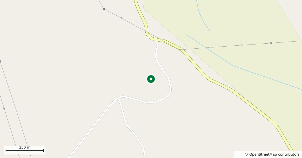
- South-west of Mayadin, at the edge of the Euphrates valley; 42 km south-east of Deir ez-Zor
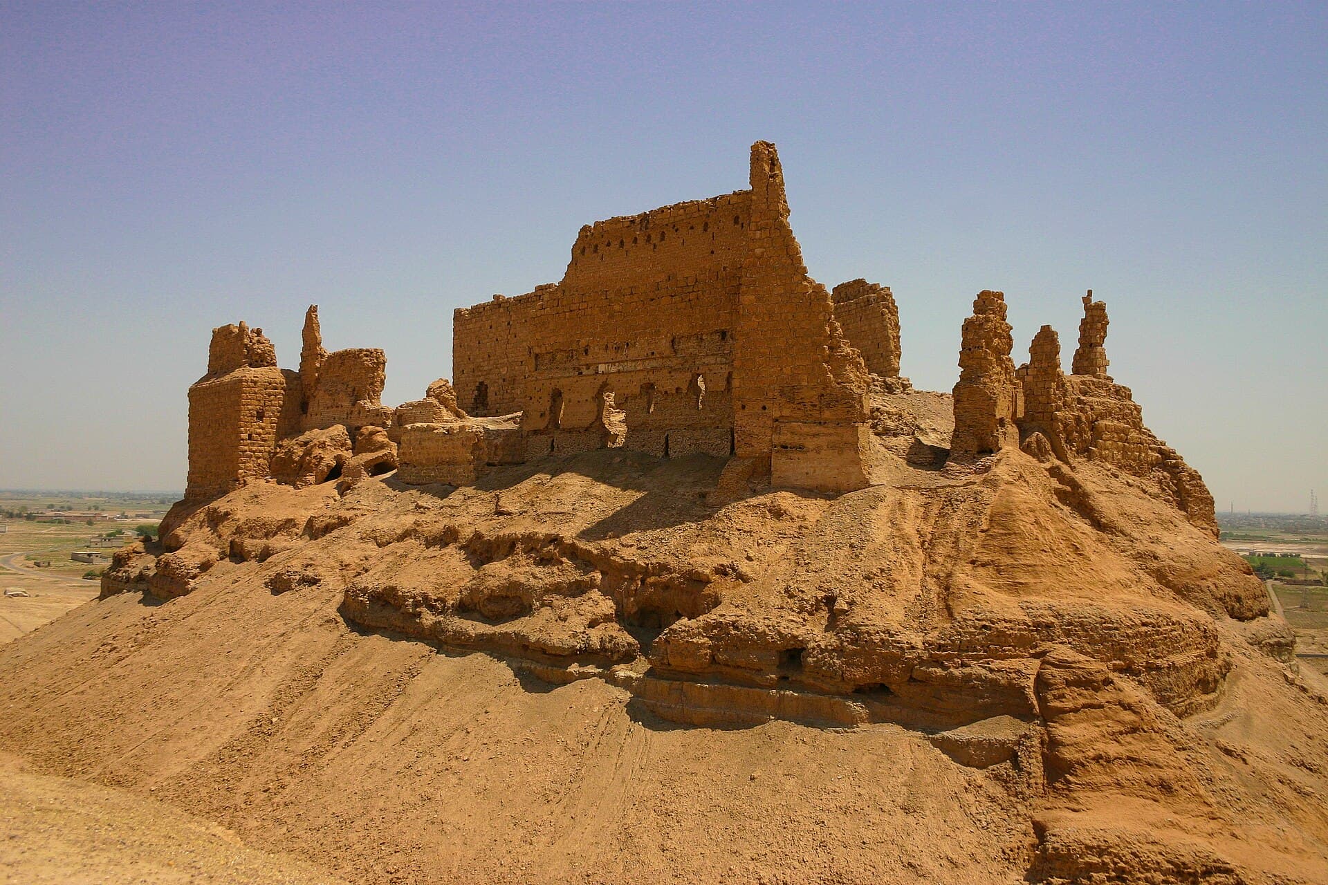
The castle stands on an artificial mound 244 metres above sea level, where the Euphrates valley gives out into the steppe. Ibn Battuta called this spot “the end of Iraq and the beginning of al-Sham”, and that sentence contains the whole story of the place. It was the first stop for caravans and armies coming from the east and the last safe point for anyone heading that way. The plan is a fortress inside a fortress: an outer enclosure of 270 by 95 metres, and within it a keep of 60 by 30 metres.
Getting there
One kilometre from the south-western edge of Mayadin; the mound is visible from the town itself. From Deir ez-Zor it is 42 kilometres along the road that follows the right bank of the Euphrates, about forty-five minutes by car. The last stretch is unpaved and turns to mud after rain.
How long it takes
An hour and a half. Twenty minutes to climb the mound, an hour to walk the walls, and the rest to come down and look out over the valley.
What to see
The material is mud brick and fired brick, not stone — there was no stone here, so the castle was built out of its own ground. What you see today is therefore a building in the process of dissolving: wind has licked at the walls for centuries, corners have rounded off, towers have gone conical. Nothing here is sharp any more. The east face of the keep still stands, and you can count the line of embrasures along its top. On the slope of the mound the mouths of cisterns lie open; the castle sits on a waterless flat, and water storage was half of its defence.
What not to miss
Walk to the north-west corner and look down. The flat ground below the mound is where the first Rahba stood — the town founded on the riverbank in the 9th century by the Abbasid commander Malik ibn Tawk. That town was destroyed by the earthquake of 1157 and never rebuilt; the castle you are standing on went up a few years later, out at the desert edge, deliberately away from the water. From up there you are looking at two Rahbas at once: one flat on the ground, one still upright.
What remains
The castle was a fief that Saladin granted to Shirkuh, and his descendants held it until 1264; Shirkuh II rebuilt it from the ground up in 1207. Under the Mamluks it was the most important fortress on the Euphrates line and the last station on the sultanate’s postal road. After the Ottoman period it fell out of use, and for a long time it was a ruin that shepherds used as a fold. It was excavated between 1976 and 1981. There is no guard today, no signage and no railing; the wall bases are undercut and collapsing in places. Ask in Mayadin how things stand before you climb.
Tips
- Wear shoes with grip; the slope is loose dust and broken brick
- Do not lean on the walls or climb them — mud brick loses a little with every touch
- Carry water; there is no shade and no tap on the mound
- Look down from the north-west corner at the flat where the old town stood; the history makes sense from there
Transparency
- How this was chosen
- Written by hand; opening hours, entry fee and coordinates are kept as data. A field that is not known for certain is marked as variable rather than guessed.
- Facts checked
- September 2026
- Last updated
- September 15, 2026