Terqa (Tell Ashara)
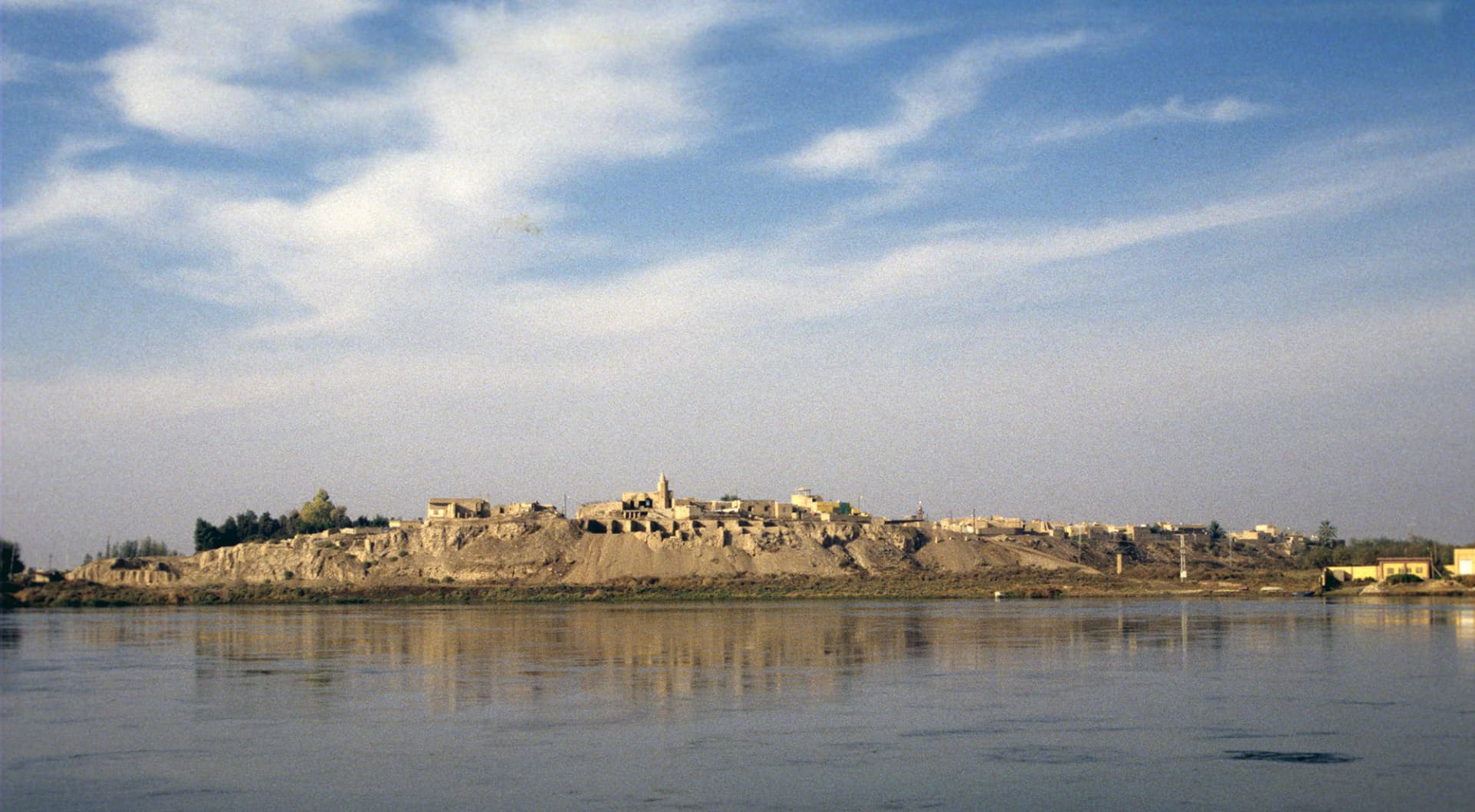
A mound on the Euphrates 64 kilometres north of Mari. The city that took over the middle Euphrates when Mari fell, and the village standing on it today.
- Opening hours
- The mound lies inside the village and can be seen through the day; the dig area may be closed
- Entry
- Variable — confirm at the entrance
- Duration
- 60 minutes
- Best time
- Early morning; the valley is very hot after noon
- Period
- Early Bronze — Iron Age
- Address
- Ashara village, on the Euphrates, south-east of Deir ez-Zor
The Euphrates has been eating at the bluff below the village of Ashara for centuries, and Terqa is inside that bluff. The city stood near the point where the Khabur joins the Euphrates and took the trade of both rivers. Mari lay to the south and Tuttul to the north, and Terqa spent its history in Mari’s shadow, because the valley could hold only one great centre. Its chief god was Dagan.
Getting there
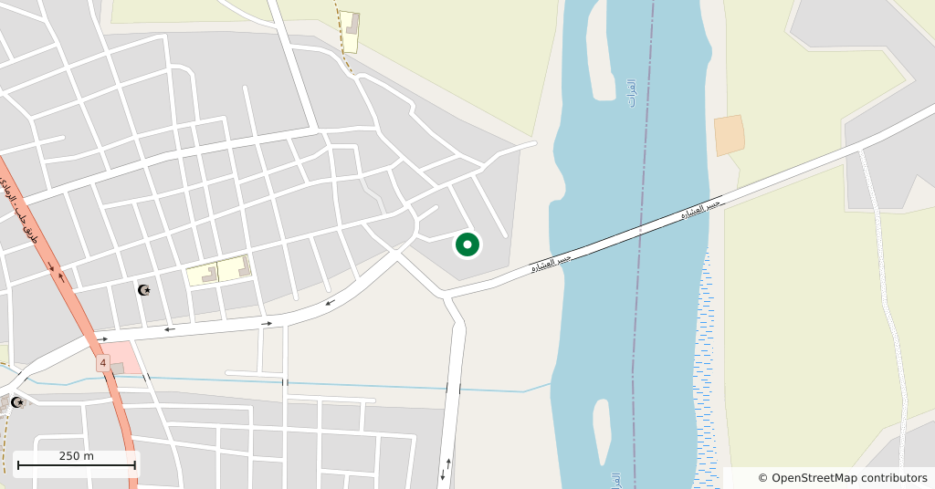
South-east from Deir ez-Zor along the Euphrates. It is 64 kilometres north of Mari and 80 kilometres from the Iraqi border. The mound is not a separate excavation: the houses of Ashara stand on it, and the section shows when you look up from the riverbank.
How long it takes
An hour. Half of it looking at the section of the mound from the river, the rest along the high edge inside the village.
What to see
The mound is about eight hectares and rises 18 metres. Two-thirds of it lies under the village, which limits where anyone can dig, and the Euphrates has eroded away roughly half of the original site as it shifted its bed. The defences were three concentric walls, each 6 metres high and 18 metres thick, with a ditch of the same width in front. Together they enclose some twenty-four hectares, with a perimeter of 1800 metres. Pottery and radiocarbon dates put the inner wall around 2900, the middle one around 2800 and the outer around 2700. A temple of the goddess Ninkarrak was also found on the mound.
What not to miss
The places where the city’s name turns up in the Mari letters. Yahdun-Lim named one of his years “the year in which he built the walls of Mari and Terqa”; Zimri-Lim named another “the year in which he offered a great throne to Dagan of Terqa”. Letters survive from Kibri-Dagan, governor of Terqa, to his king. When Hammurabi of Babylon turned on his ally Zimri-Lim and destroyed Mari, the weight of the middle Euphrates moved here, and Terqa became the capital of the kingdom of Hana.
Where it stands now
Digging began with Herzfeld’s brief work in 1910. Between 1974 and 1986 an international team under the Buccellatis worked ten seasons, after which Olivier Rouault’s team from Lyon took over, stopping around 2010 as conditions worsened. The 550 cuneiform tablets from Terqa are in the Deir ez-Zor Museum. The present state of the museum and of the site cannot be independently confirmed.
Tips
- Look at the section of the mound from the riverbank; the layers only read from there
- People's houses stand over the excavation — ask before walking into the lanes
- Mari is 64 kilometres south, and both can be seen in one day
- The tablets are not here but in the Deir ez-Zor Museum — don't confuse the two
Transparency
- How this was chosen
- Written by hand; opening hours, entry fee and coordinates are kept as data. A field that is not known for certain is marked as variable rather than guessed.
- Facts checked
- September 2026
- Last updated
- September 15, 2026