Tell Rifaat (Ancient Arpad)
The mound at Tell Rifaat, 40 km north of Aleppo, is most likely Arpad, capital of Bit Agusi, which held out for three years against Tiglath-Pileser III’s siege.
- Opening hours
- The mound is open ground; war damage in the town remains — confirm on site
- Entry
- Variable — confirm on site
- Duration
- 60 minutes
- Best time
- Spring or autumn, in daylight; there is no shade on the mound
- Period
- Aramaean — Neo-Assyrian — Seleucid
- Address
- Tell Rifaat, Azaz district, 40 km north of Aleppo, Aleppo governorate
Tell Rifaat is a district town 40 km north of Aleppo. The large mound beside it is most likely what remains of Arpad, an Iron Age city. Arpad was the capital of Bit Agusi, an Aramaean state founded in the 9th century BC. The Assyrian siege that began in 743 BC lasted three years. Excavators found its walls preserved up to 8 metres high.
Where it is
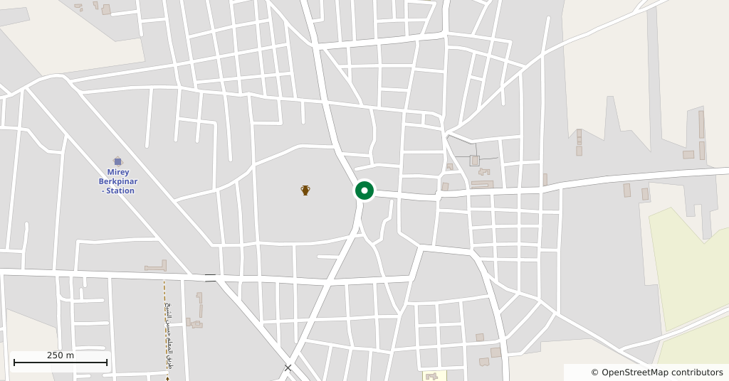
The town lies south of Azaz, on the plain north of Aleppo. Around it are Mare’ to the east, Kafr Naya to the south and Ibbin Samaan to the west. At the 2004 census it had more than twenty thousand people. After nearby Tell Aran, this is the largest mound in the Jabal Semaan area.
Whose capital was Arpad
In the 9th century BC, Gusi of Yakhan founded the Aramaean state of Bit Agusi in northern Syria, and Arpad became its capital. Its territory ran from the Azaz area in the north to Hama in the south. Arpad later became a major vassal city of the kingdom of Urartu.
A three-year siege
During the war between Urartu and Assyria, the Assyrian king Tiglath-Pileser III first defeated the army of the Urartian king Sarduri II at Samsat. Then, in 743 BC, he laid siege to Arpad. The city did not give in easily. The siege lasted three years; when it fell, its people were put to the sword and the city destroyed. Arpad then became the seat of an Assyrian province.
The city is named several times in the Hebrew Bible, in the books of Kings, Isaiah and Jeremiah. In those passages the Assyrian commander Rabshakeh lists the gods of Arpad among those who failed to save their cities from Assyria.
How big is the mound
The mound is an oval of 250 by 233 m. The citadel inside it measures 142 by 142 m and rises to 30 m at its highest point. The defensive wall around the site is close to three kilometres long. There was also a settlement here in the Seleucid period (301-63 BC), and a hoard of coins from that time was found.
Who excavated it
A team from the Institute of Archaeology at the University of London made a preliminary study in 1956. Two seasons of excavation followed in 1961 and 1964, directed by Veronica Seton-Williams. In 1977 the same institute surveyed the area around the mound.
The situation today
Between 2012 and 2024 Tell Rifaat was a frontline town that changed hands several times and was heavily bombed. Most of its population left in 2016. Residents who began returning in 2025 found widespread destruction. No published assessment of the mound’s current condition exists.
What most people miss
The height of the wall. According to the excavation reports, the walls stood up to 8 metres high. Look up at the mound from its foot and it becomes clear why an Assyrian army needed three years to take this city.
Tips
- The town was a frontline for years; stay out of damaged buildings and keep to paths local people use
- Walk around the foot of the mound to see the walls; the citadel rises 30 m
- Azaz lies to the north and Dabiq to the northeast; both fit into the same day
- Ask in Aleppo about current road and crossing conditions before you go
Transparency
- How this was chosen
- Written by hand; opening hours, entry fee and coordinates are kept as data. A field that is not known for certain is marked as variable rather than guessed.
- Facts checked
- September 2026
- Last updated
- September 15, 2026