Zalabiye
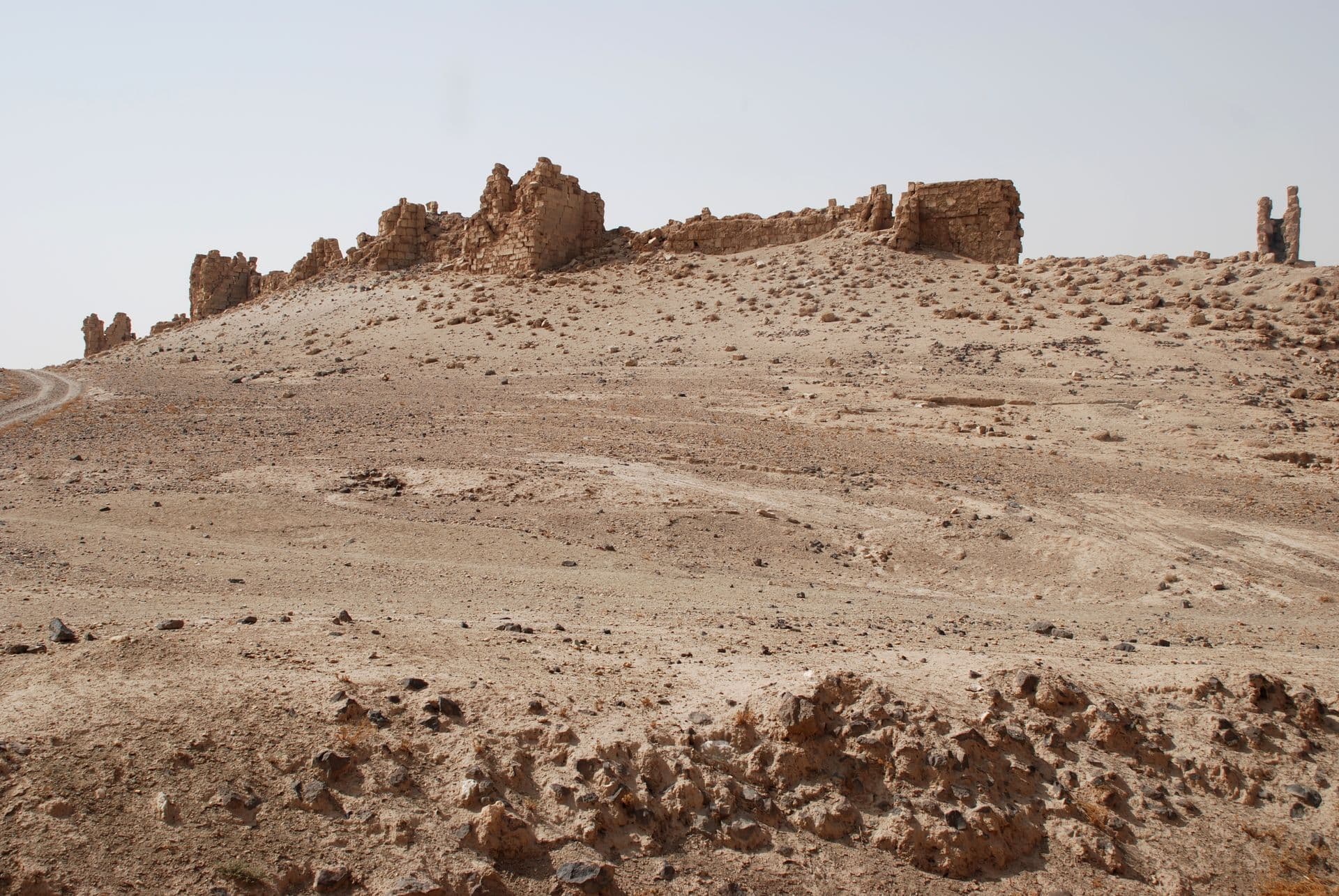
The sister fortress on the left bank of the Euphrates, facing Halabiye. Its east wall still stands with eight towers; the river and the railway took the rest.
- Opening hours
- Open site; if a guard is present, check at the entrance
- Entry
- Variable — check at the entrance
- Duration
- 45 minutes
- Best time
- Early morning; the heat comes off the river in the afternoon
- Period
- Palmyrene — Byzantine
- Address
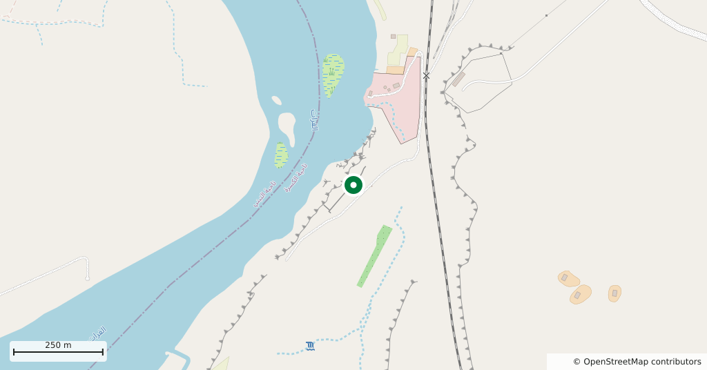
- Left bank of the Euphrates, al-Khanuqa narrows, Deir ez-Zor Governorate
A ruined fortress on the left bank of the Euphrates, beside the narrows where basalt outcrops squeeze the river. The place is called al-Khanuqa — the strangler. Three kilometres upstream, on the opposite bank, stands Halabiye; the two held the two ends of the same gap. Zalabiye went up in the 3rd century, in the short period when the reach of Palmyra extended to the Euphrates. Its walls were rebuilt later under the emperor Justinian, between 527 and 565.
Getting there
Some 45 kilometres north-west of Deir ez-Zor. Halabiye is on the far bank, so you cannot walk across from it; Zalabiye is reached by its own turning off the left-bank road. You need a car and driver. The last stretch is unsurfaced. Tell the driver you want both fortresses in one day — he will know the way round.
How long it takes
Forty-five minutes. What is left standing is all on one side. One circuit covers it.
What to see
All that stands today is the east wall: eight towers and a gate. The fortress was rectangular and ringed by square towers on all four sides, but the mortar was poor. Earthquakes, the Euphrates eating at the bank, and the removal of stone for railway ballast took the rest. Outside the wall, on the north and east, the lines of the suburbs can still be read in places.
What most people miss
The dam and canal a kilometre upstream. A barrage was built across the Euphrates here, with a diversion canal on the right bank. The canal is thought to date from the 1st century, possibly as far back as the Late Bronze Age, and the Arabs named it after Semiramis. One more thing to know: the reservoir of the proposed Halabiye Dam would reach this far. The Syrian government is working with the UNDP and UNESCO to limit the effect.
Tips
- Halabiye is on the far bank; agree the route with your driver in advance
- What stands is the east wall; there is nothing to walk to on the west side
- The bank is crumbling — do not go close to the river below the wall
- There are mosquitoes along the Euphrates; come prepared if you stay till dusk
Transparency
- How this was chosen
- Written by hand; opening hours, entry fee and coordinates are kept as data. A field that is not known for certain is marked as variable rather than guessed.
- Facts checked
- September 2026
- Last updated
- September 15, 2026